Click on the image for a larger version suitable for printing. HOME PAGE ... REFERENCE PAGE ...THIS GAZETTEER’S PAGE |
|
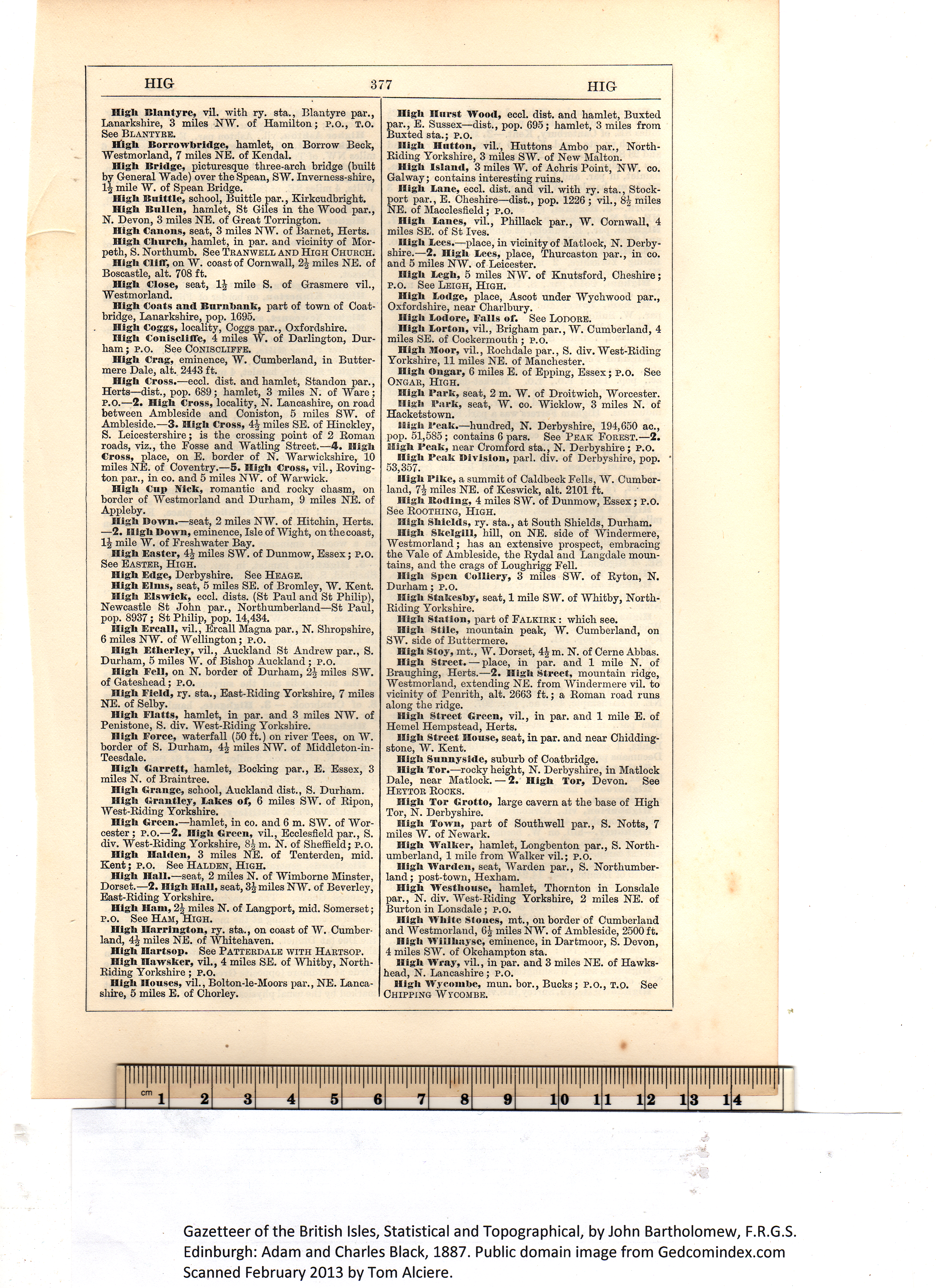
High Hurst Wood, eccl. dist. and hamlet, Buxted High Hntton, vil., Huttons Ambo par., North- High Island, 3 miles W. of Achris Point, NW. co. High Lane, eccl. dist. and vil. with ry. sta., Stock- High Lanes, vil., Phillack par., W. Cornwall, 4 High Lees.-—place, in vicinity of Matlock, N. Derby- High Legh, 5 miles NAY. of Knutsford, Cheshire; High Lodge, place, Ascot under Wychwood par., High Lodore, Falls of. See Lodore. High Lorton, vil., Brigham par., AY. Cumberland, 4 High Moor, vil., Rochdale par., S. div. AYest-Riding High Ongar, 6 miles E. of Epping, Essex; P.O. See High Park, seat, 2 m. W. of Droitwich, Worcester. Higli Park, seat, AY. co. AVicklow, 3 miles N. of High Peak.—hundred, N. Derbyshire, 194,650 ac., High Peak Division, pari. div. of Derbyshire, pop. High Pike, a summit of Caldbeck Fells, AY. Cumber- High Boding, 4 miles SW. of Dunmow, Essex; P.O. High Shields, ry. sta., at South Shields, Durham. High Skelgill, hill, on NE. side of AVindermere, High Spen Colliery, 3 miles SW. of Ryton, N. High Stakesby, seat, 1 mile SW. of AYhitby, North- High Station, part of Falkirk : which see. High Stile, mountain peak, W. Cumberland, on High Stoy, mt., W. Dorset, 4| m. N. of Cerne Abbas. High Street. — place, in par. and 1 mile N. of High Street Green, vil., in par. and 1 mile E. of High Street House, seat, in par. and near Chidding- High Sunnyside, suburb of Coatbridge. High Tor.—rocky height, N. Derbyshire, in Matlock High Tor Grotto, large cavern at the base of High High Town, part of Southwell par., S. Notts, 7 High Walker, hamlet, Longbenton par., S. North- High Warden, seat, AVarden par., S. Northumber- High Westhonse, hamlet, Thornton in Lonsdale High White Stones, mt., on border of Cumberland High Willhaysc, eminence, in Dartmoor, S. Devon, High Wray, vil., in par. and 3 miles NE. of Hawks- High Wycombe, mun. bor., Bucks; P.O., T.O. See Gazetteer of the British Isles, Statistical and Topographical, by John Bartholomew, F.R.G.S. Edinburgh: Adam and Charles Black, 1887. Public domain image from Gedcomindex.com |
Click on the image to get a large bitmap suitable for printing (45 MB) |
This page is written in HTML using a program written in Python 3.2, and image-to-HTML-text by ABBYY FineReader 11 Professional Edition.