|
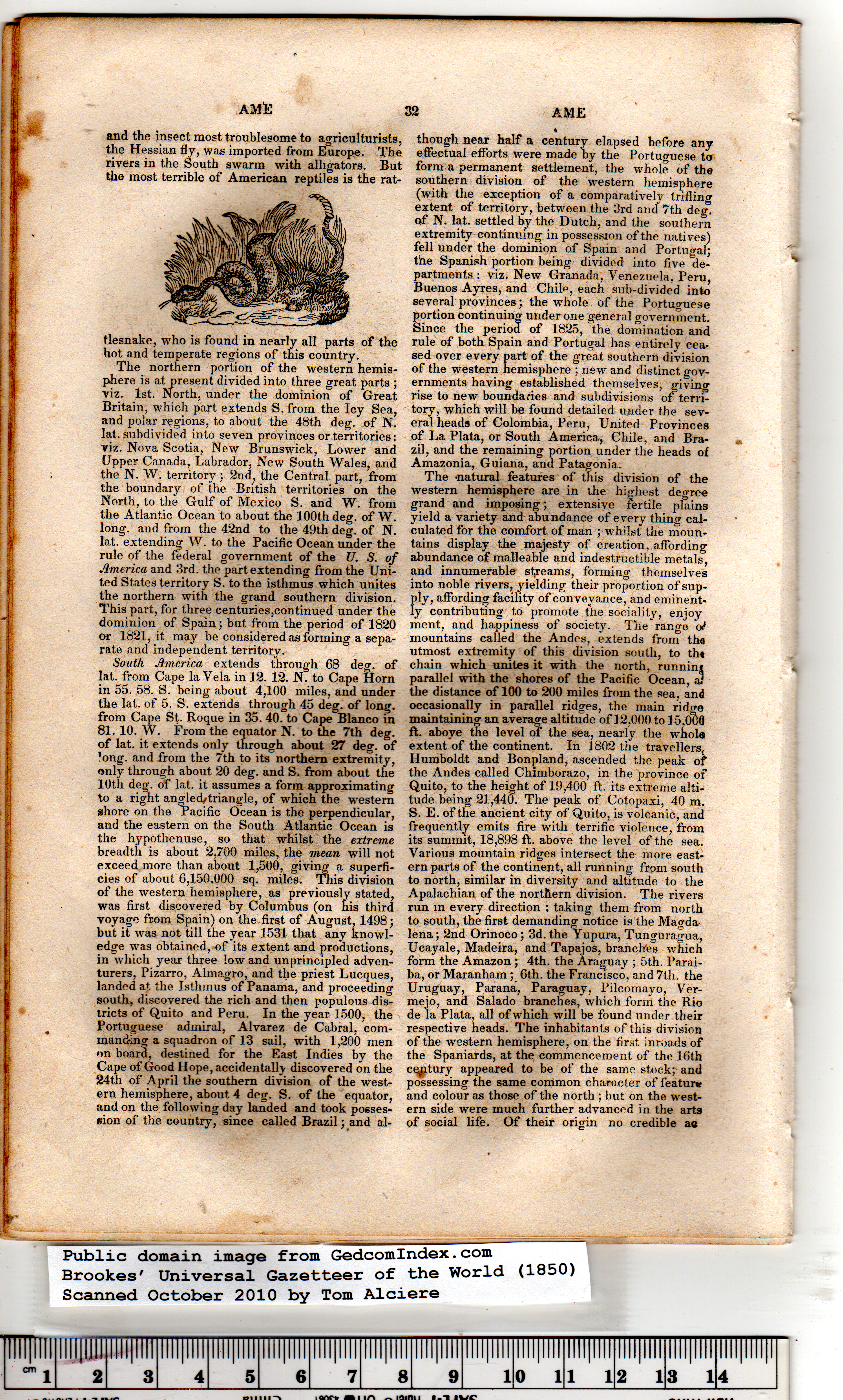
tlesnake, who is found in nearly all parts of the
hot and temperate regions of this country.
The northern portion of the western hemis-
phere is at present divided into three great parts ;
viz. 1st. North, under the dominion of Great
Britain, which part extends S. from the Icy Sea,
and polar regions, to about the 48th deg. of N.
lat. subdivided into seven provinces or territories:
viz. Nova Scotia, New Brunswick, Lower and
Upper Canada, Labrador, New South Wales, and
the N. W. territory ; 2nd, the Central part, from
the boundary of the British territories on the
North, to the Gulf of Mexico S. and W. from
the Atlantic Ocean to about the 100th deg. of W.
long, and from the 42nd to the 49th deg. of N.
lat. extending W. to the Pacific Ocean under the
rule of the federal government of the U. S. of
America and 3rd. the part extending from the Uni-
ted States territory S. to the isthmus which unites
the northern with the grand southern division.
This part, for three centuries,continued under the
dominion of Spain; but from the period of 1820
or 1821, it may be considered as forming a sepa-
rate and independent territory.
and the insect most troublesome to agriculturists,
the Hessian fly, was imported from Europe. The
rivers in the South swarm with alligators. But
the most terrible of American reptiles is the rat-
South America extends through 68 deg. of
lat. from Cape la Vela in 12. 12. N. to Cape Horn
in 55. 58. S. being about 4,100 miles, and under
the lat. of 5. S. extends through 45 deg. of long,
from Cape St. Roque in 35. 40. to Cape Blanco in
81. 10. W. From the equator N. to the 7th deg.
of lat. it extends only through about 27 deg. of
’ong. and from the 7th to its northern extremity,
only through about 20 deg. and S. from about the
10th deg. of lat. it assumes a form approximating
to a right angled/triangle, of which the western
shore on the Pacific Ocean is the perpendicular,
and the eastern on the South Atlantic Ocean is
the hypothenuse, so that whilst the extreme
breadth is about 2,700 miles, the mean will not
exceed more than about 1,500, giving a superfi-
cies of about 6,150.000 sq. miles. This division
of the western hemisphere, as previously stated,
was first discovered by Columbus (on his third
voyage from Spain) on the. first of August, 1498;
but it was not till the year 1531 that any knowl-
edge was obtained, of its extent and productions,
in which year three low and unprincipled adven-
turers, Pizarro, Almagro, and the priest Lucques,
landed at the Isthmus of Panama, and proceeding
south, discovered the rich and then populous dis-
tricts of Quito and Peru. In the year 1500, the
Portuguese admiral, Alvarez de Cabral, com-
manding a squadron of 13 sail, with 1,200 men
on board, destined for the East Indies by the
Cape of Good Hope, accidentally discovered on the
24th of April the southern division of the west-
ern hemisphere, about 4 deg. S. of the equator,
and on the following day landed and took posses-
sion of the country, since called Brazil; and al-
though near half a century elapsed before any
effectual efforts were made by the Portuguese to
form a permanent settlement, the whole of the
southern division of the western hemisphere
(with the exception of a comparatively trifling
extent of territory, between the 3rd and’ 7th deg.
of N. lat. settled by the Dutch, and the southern
extremity continuing in possession of the natives)
fell under the dominion of Spain and Portugal;
the Spanish portion being divided into five de-
partments : viz. New Granada, Venezuela, Peru,
Buenos Ayres, and Chile, each sub-divided into
several provinces; the whole of the Portuguese
portion continuing under one general government.
Since the period of 1825, the domination and
rule of both Spain and Portugal has entirely cea-
sed over every part of the great southern division
of the western hemisphere ; new and distinct gov-
ernments having established themselves, givinor
rise to new boundaries and subdivisions of terri-
tory, which will be found detailed under the sev-
eral heads of Colombia, Peru, United Provinces
of La Plata, or South America, Chile, and Bra-
zil, and the remaining portion under the heads of
Amazonia, Guiana, and Patagonia. |
The -natural features of this division of the
western hemisphere are in the highest degree
grand and imposing; extensive fertile plains
yield a variety and abundance of every thing cal-
culated for the comfort of man ; whilst the moun-
tains display the majesty of creation, affording
abundance of malleable and indestructible metals,
and innumerable streams, forming themselves
into noble rivers, yielding their proportion of sup-
ply, affording facility of conveyance, and eminent-
ly contributing to promote the sociality, enjoy
ment, and happiness of society*. The range of
mountains called the Andes, extends from tha
utmost extremity of this division south, to tht
chain which unites it with the north, runninj
parallel with the shores of the Pacific Ocean, a3
the distance of 100 to 200 miles from the sea, and
occasionally in parallel ridges, the main ridcre
maintaining an average altitude of 12,000 to IS.OtWJ
ft. above the level of the sea, nearly the whols
extent of the continent. In 1802 the travellers,
Humboldt and Bonpland, ascended the peak of
the Andes called Chimborazo, in the province of
Quito, to the height of 19,400 ft. its extreme alti-
tude being 21,440. The peak of Cotopaxi, 40 m.
S. E. of the ancient city of Quito, is volcanic, and
frequently emits fire with terrific violence, from
its summit, 18,898 ft. above the level of the sea.
Various mountain ridges intersect the more east-
ern parts of the continent, all running from south
to north, similar in diversity and altitude to the
Apalachian of the northern division. The rivers
run in every direction : taking them from north
to south, the first demanding notice is the Magda-
lena ; 2nd Orinoco; 3d. the Yupura, Tunguragua,
Ucayale, Madeira, and Tapajos, branches which
form the Amazon; 4th. the Araguay ; 5th. Parai-
ba, or Maranham; 6th. the Francisco, and 7th. the
Uruguay, Parana, Paraguay, Pilcomayo, Ver-
mejo, and Salado branches, which form the Rio
de la Plata, all of which will be found under their
respective heads. The inhabitants of this division
of the western hemisphere, on the first inroads of
the Spaniards, at the commencement of the 16th
cqptury appeared to be of the same stock; and
possessing the same common character of featurv
and colour as those of the north ; but on the west-
ern side were much further advanced in the arts
of social life. Of their origin no credible ao
|