|
of prairies, that interpose between this territory
and the Rocky mountains, roam different tribes
of Indians, among which are often seen, Indians
from the Mexican country, who come here to hunt
the bison. These animals with deer, elk, bears,
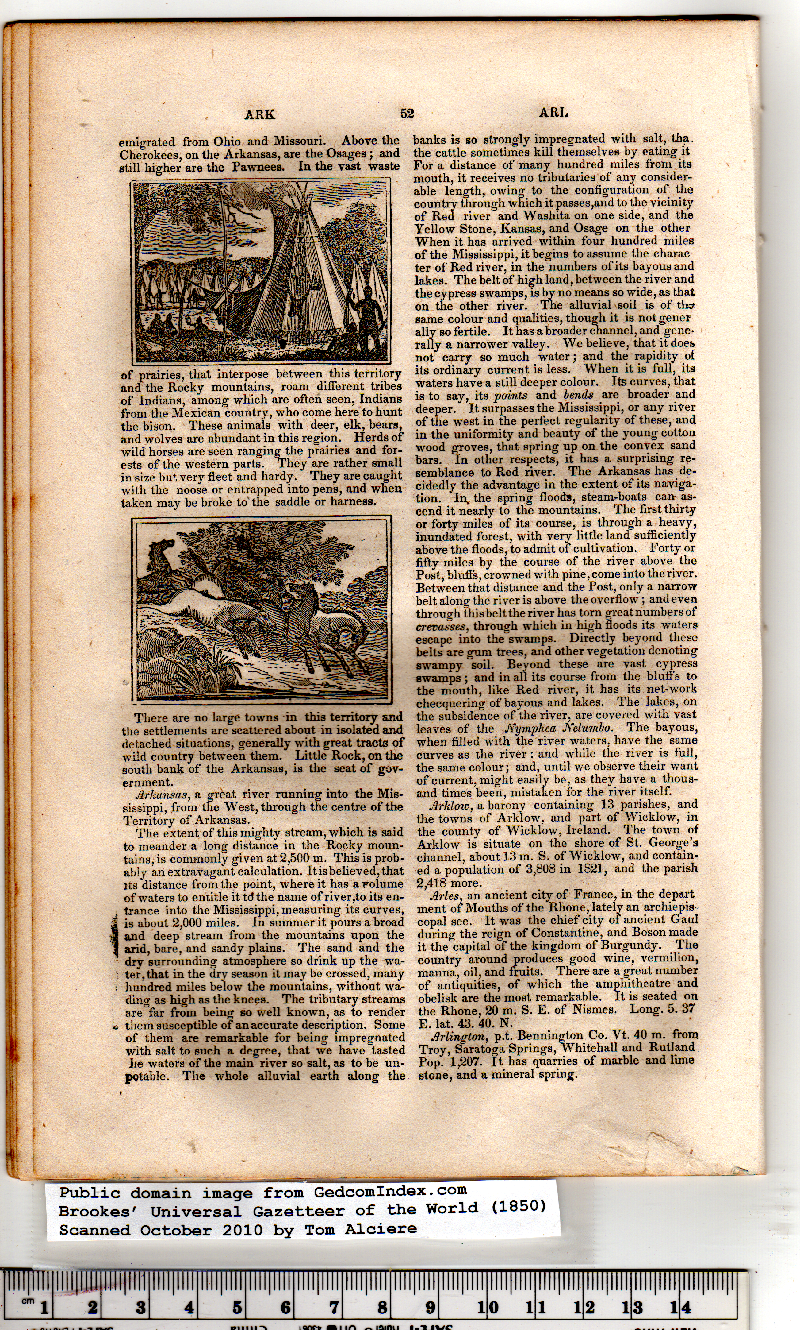
and wolves are abundant in this region. Herds of
wild horses are seen ranging the prairies and for-
ests of the western parts. They are rather small
in size but very fleet and hardy. They are caught
with the noose or entrapped into pens, and when
taken may be broke to" the saddle or harness.
There are no large towns in this territory and
the settlements are scattered about in isolated and
detached situations, generally with great tracts of
wild country between them. Little Rock, on the
south bank of the Arkansas, is the seat of gov-
ernment.
Arkansas, a great river running into the Mis-
sissippi, from the West, through the centre of the
Territory of Arkansas. |
The extent of this mighty stream, which is said
to meander a long distance in the Rocky moun-
tains, is commonly given at 2,500 m. This is prob-
ably an extravagant calculation. It is believed, that
its distance from the point, where it has a volume
of waters to entitle it td the name of river,to its en-
j trance into the Mississippi, measuring its curves,
i is about 2,000 miles. In summer it pours abroad
a and deep stream from the mountains upon the
I arid, bare, and sandy plains. The sand and the
dry surrounding atmosphere so drink up the wa-
ter, that in the dry season it may be crossed, many
hundred miles below the mountains, without wa-
ding as high as the knees. The tributary streams
are far from being so well known, as to render
* them susceptible of an accurate description. Some
of them are remarkable for being impregnated
with salt to such a degree, that we have tasted
lie waters of the main river so salt, as to be un-
potable. The whole alluvial earth along the
banks is so strongly impregnated with salt, tha.
the cattle sometimes kill themselves by eating it
For a distance of many hundred miles from its
mouth, it receives no tributaries of any consider-
able length, owing to the configuration of the
country through which it passes,and to the vicinity
of Red river and Washita on one side, and the
Yellow Stone, Kansas, and Osage on the other
When it has arrived within four hundred miles
of the Mississippi, it begins to assume the charac
ter of Redriver, in the numbers of its bayous and
lakes. The belt of high land, between the river and
the cypress swamps, is by no means so wide, as that
on the other river. The alluvial soil is of ths#
same colour and qualities, though it is not gener
ally so fertile. It has a broader channel, and gene-
rally a narrower valley. We believe, that it does
not carry so much water; and the rapidity of
its ordinary current is less. When it is full, its
waters have a still deeper colour. Its curves, that
is to say, its points and bends are broader and
deeper. It surpasses the Mississippi, or any river
of the west in the perfect regularity of these, and
in the uniformity and beauty of the young cotton
wood groves, that spring up on the convex sand
bars. In other respects, it has a surprising re-
semblance to Red river. The Arkansas has de-
cidedly the advantage in the extent of its naviga-
tion. In, the spring floods, steam-boats can- as-
cend it nearly to the mountains. The first thirty
or forty miles of its course, is through a heavy,
inundated forest, with very little land sufficiently
above the floods, to admit of cultivation. Forty or
fifty miles by the course of the river above the
Post, bluffs, crowned with pine, come into the river.
Between that distance and the Post, only a narrow
belt along the river is above the overflow'; and even
through this belt the river has torn great numbers of
crevasses, through which in high floods its waters
escape into the swamps. Directly beyond these
belts are gum trees, and other vegetation denoting
swampy soil. Beyond these are vast cypress
swamps ; and in all its course from the bluffs to
the mouth, like Red river, it has its net-work
checquering of bayous and lakes. The lakes, on
the subsidence of the river, are covered with vast
leaves of the JS'ymphea JYelumbo. The bayous,
when filled with the river waters, have the same
curves as the river: and while the river is full,
the same colour; and, until we observe their want
of current, might easily be, as they have a thous-
and times been, mistaken for the river itself.
Arklow, a barony containing 13 parishes, and
the towns of Arklow, and part of Wicklow, in
the county of Wicklow, Ireland. The town of
Arklow is situate on the shore of St. George’s
channel, about 13 m. S. of W’icklow, and contain-
ed a population of 3,808 in 1S21, and the parish
2,418 more.
Arles, an ancient city of France, in the depart
ment of Mouths of the Rhone, lately an archiepis-
copal see. It wins the chief city of ancient Gaul
during the reign of Constantine, and Boson made
it the capital of the kingdom of Burgundy. The
country around produces good wine, vermilion,
manna, oil, and fruits. There are a great number
of antiquities, of which the amphitheatre and
obelisk are the most remarkable. It is seated on
the Rhone, 20 m. S. E. of Nismes. Long. 5. 37
E. lat. 43. 40. N.
Arlington, p.t. Bennington Co. Vt. 40 m. from
Troy, Saratoga Springs, Whitehall and Rutland
Pop. 1,207. It has quarries of marble and lime
stone, and a mineral spring. |