|
|
Note: Ctrl and + increases the font size of the text below, Ctrl and - decreases it, and Ctrl and 0 resets it to default size.
STATES AND TERRITORIES. — CALIFORNIA. 29
Indians. — Many tribes, or parts of tribes, of Indians have their abodes still within this state,
the most populous of which are the Cherokees, Choctaws, Osages, Q,uapas, Camanches, &c.
Population. — Between 1810 and 1820, the population of Arkansas increased from 1000 to
15,000. In 1830, it had doubled this number, and in 1840 had risen to nearly 100,000, one
fifth of whom were slaves. In 1850 it was 209,639.
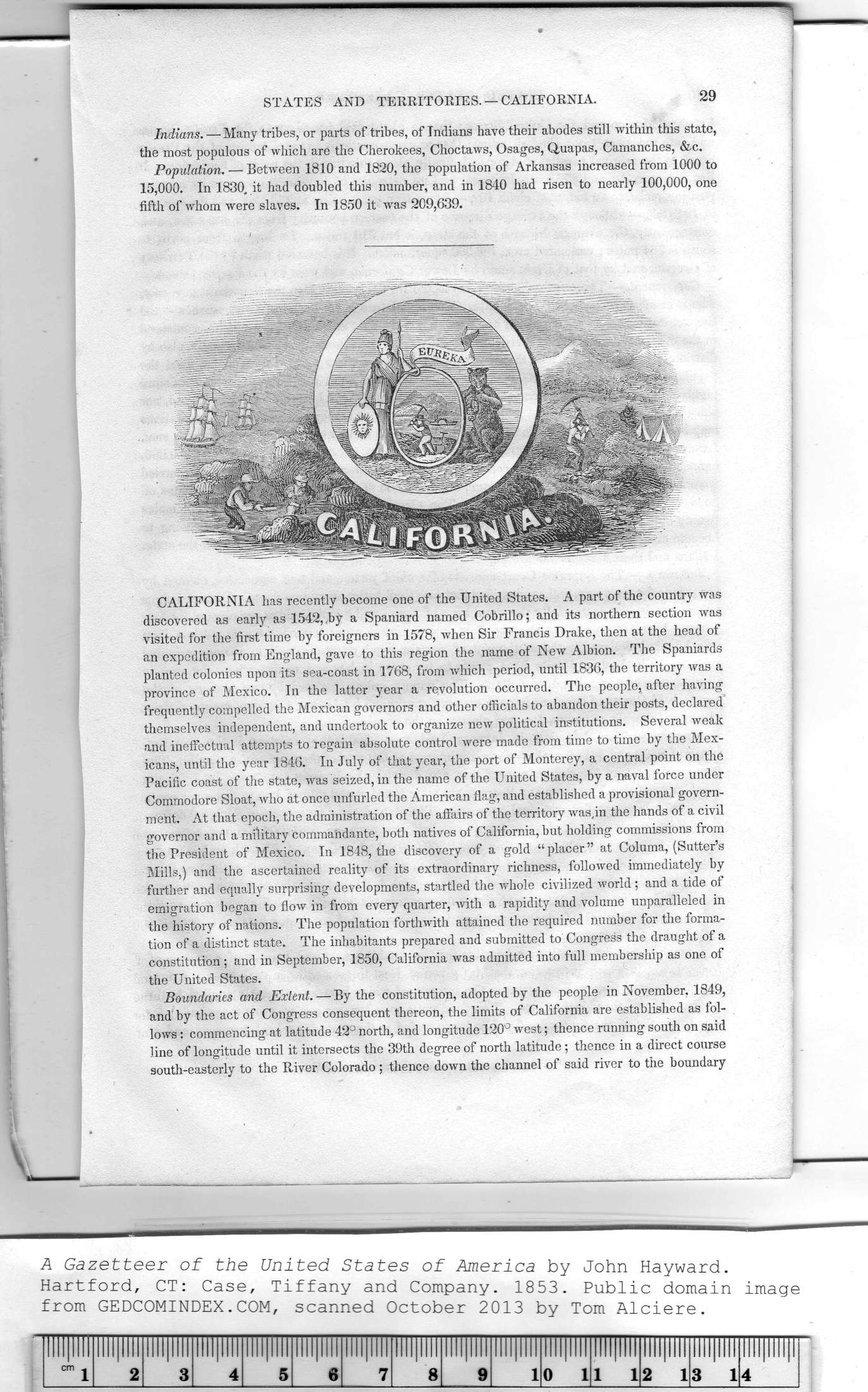
CALIFORNIA has recently become one of the United States. A part of the country was
discovered as early as 1542,,by a Spaniard named Cobrillo; and its northern section was
visited for the first time by foreigners in 1578, when Sir Francis Drake, then at the head of
an expedition from England, gave to this region the name of New Albion. The Spaniards
planted colonies upon its sea-coast in 1768, from wdiich period, until 1836, the territory was a
province of Mexico. In the latter year a revolution occurred. The people, after having
frequently compelled the Mexican governors and other officials to abandon their posts, declared
themselves independent, and undertook to organize new political institutions. Several weak
and ineffectual attempts to regain absolute control were made from time to time by the Mex-
icans, until the year 1846. In July of that year, the port of Monterey, a central point on the
Pacific coast of the state, was seized, in the name of the United States, by a naval force under
Commodore Sloat, who at once unfurled the American flag, and established a provisional govern-
ment. At that epoch, the administration of the affairs of the territory was,in the hands of a civil
governor and a military commandante, both natives of California, but holding commissions from
the President of Mexico. In 1848, the discovery of a gold “ placer " at Columa, (Sutter's
Mills,) and the ascertained reality of its extraordinary richness, followed immediately by
further and equally surprising developments, startled the whole civilized world; and a tide of
emigration began to flow in from every quarter, with a rapidity and volume unparalleled in
the history of nations. The population forthwith attained the required number for the forma-
tion of a distinct state. The inhabitants prepared and submitted to Congress the draught of a
constitution; and in September, 1850, California was admitted into full membership as one of
the United States.
Boundaries and Extent. — By the constitution, adopted by the people in November, 1849,
and by the act of Congress consequent thereon, the limits of California are established as fol-
lows : commencing at latitude 42° north, and longitude 120° west; thence running south on said
line of longitude until it intersects the 39th degree of north latitude; thence in a direct course
south-easterly to the River Colorado ; thence down the channel of said river to the boundary
|
Illllllll |
!lll|llll |
llll|llll |
Illllllll |
Illllllll |
llll|llll |
llll|llll |
Illllllll |
Illllllll |
Illllllll |
Illllllll |
Illllllll |
Illllllll |
Illllllll |
|
|
cm j |
2 |
3 |
4 |
5 |
6 |
7 |
8 |
9 |
1 |
0 1 |
1 1 |
2 1 |
3 1 |
4 |
|
