|
|
Note: Ctrl and + increases the font size of the text below, Ctrl and - decreases it, and Ctrl and 0 resets it to default size.
STATES AND TERRITORIES. — ILLINOIS. 47
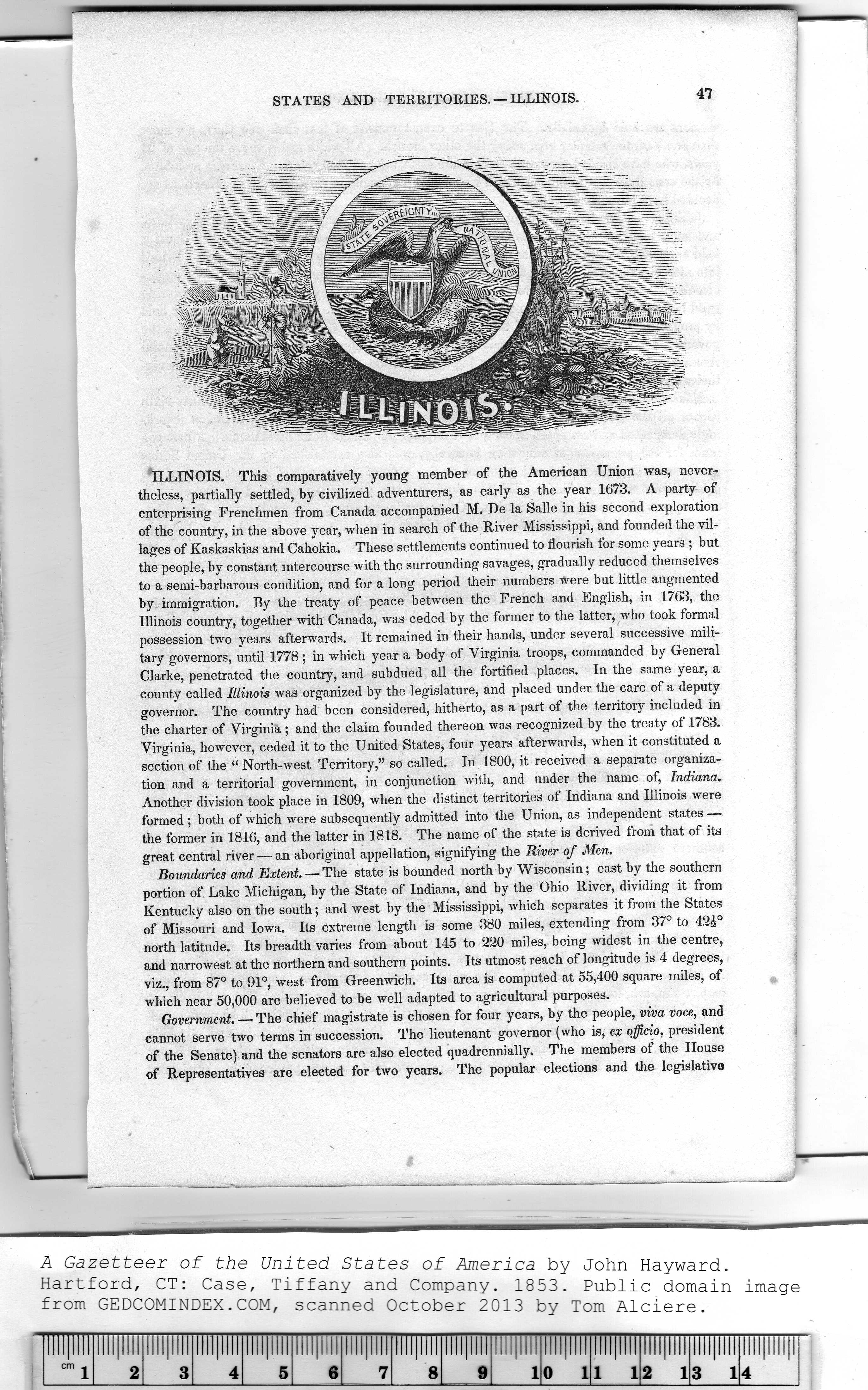
ILLINOIS. This comparatively young member of the American Union was, never-
theless, partially settled, by civilized adventurers, as early as the year 1673. A party of
enterprising Frenchmen from Canada accompanied M. De la Salle in his second exploration
of the country, in the above year, when in search of the River Mississippi, and founded the vil-
lages of Kaskaskias and Cahokia. These settlements continued to flourish for some years ; but
the people, by constant intercourse with the surrounding savages, gradually reduced themselves
to a semi-barbarous condition, and for a long period their numbers were but little augmented
by immigration. By the treaty of peace between the French and English, in 1763, the
Illinois country, together with Canada, was ceded by the former to the latter, who took formal
possession two years afterwards. It remained in their hands, under several successive mili-
tary governors, until 1778; in which year a body of Virginia troops, commanded by General
Clarke, penetrated the country, and subdued all the fortified places. In the same year, a
county called Illinois was organized by the legislature, and placed under the care of a deputy
governor. The country had been considered, hitherto, as a part of the territory included in
the charter of Virginia ; and the claim founded thereon was recognized by the treaty of 1783.
Virginia, however, ceded it to the United States, four years afterwards, when it constituted a
section of the “ North-west Territory," so called. In 1800, it received a separate organiza-
tion and a territorial government, in conjunction with, and under the name of, Indiana.
Another division took place in 1809, when the distinct territories of Indiana and Illinois were
formed ; both of which were subsequently admitted into the Union, as independent states —
the former in 1816, and the latter in 1818. The name of the state is derived from that of its
great central river — an aboriginal appellation, signifying the River of Men.
Boundaries and Extent. — The state is bounded north by Wisconsin; east by the southern
portion of Lake Michigan, by the State of Indiana, and by the Ohio River, dividing it from
Kentucky also on the south; and west by the Mississippi, which separates it from the States
of Missouri and Iowa. Its extreme length is some 380 miles, extending from 37° to 42£°
north latitude. Its breadth varies from about 145 to 220 miles, being widest in the centre,
and narrowest at the northern and southern points. Its utmost reach of longitude is 4 degrees,
viz., from 87° to 91°, west from Greenwich. Its area is computed at 55,400 square miles, of
which near 50,000 are believed to be well adapted to agricultural purposes.
Government. — The chief magistrate is chosen for four years, by the people, viva voce, and
cannot serve two terms in succession. The lieutenant governor (who is, ex officio, president
of the Senate) and the senators are also elected quadrennially. The members of the House
of Representatives are elected for two years. The popular elections and the legislative
A Gazetteer of the United States of America by John Hayward.
.........
cm ^
|