|
|
Note: Ctrl and + increases the font size of the text below, Ctrl and - decreases it, and Ctrl and 0 resets it to default size.
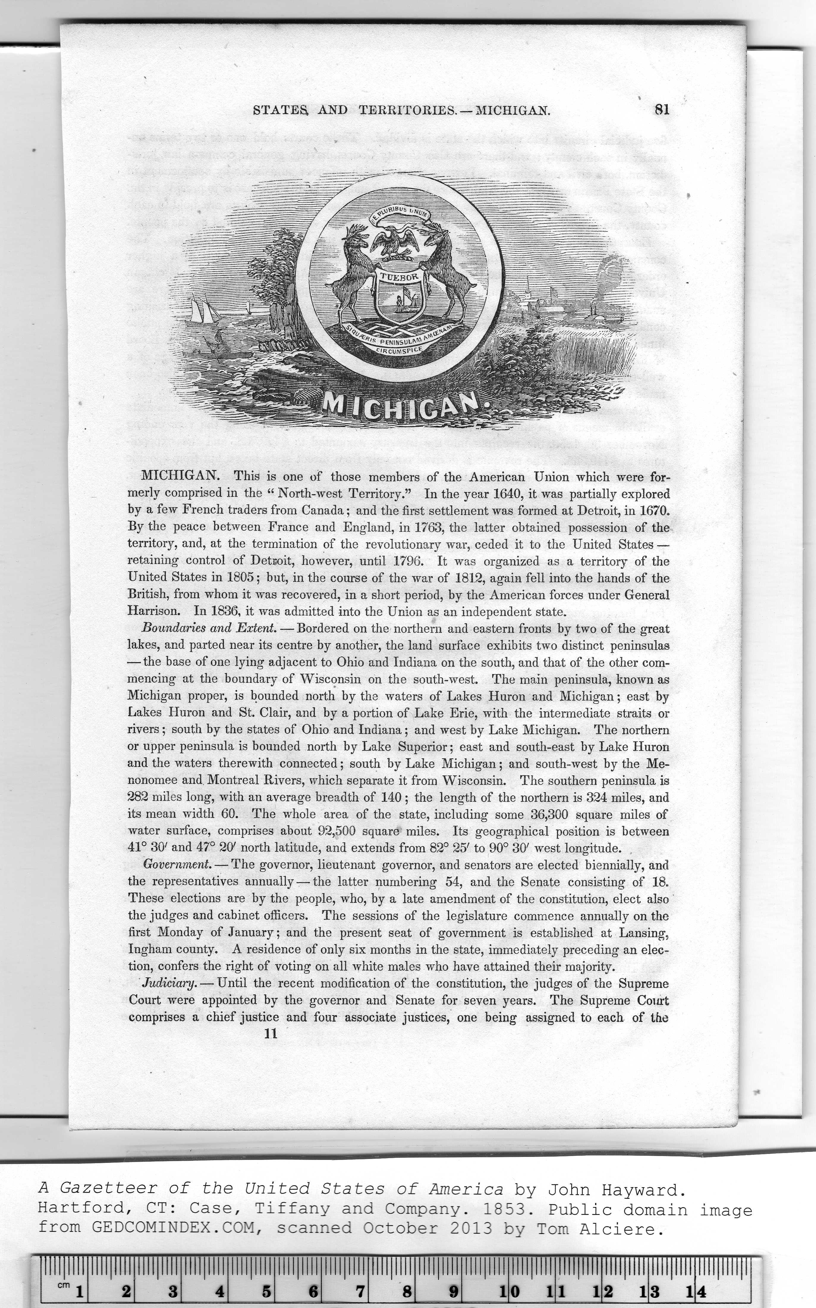
STATES, AND TERRITORIES. —MICHIGAN. 81
MICHIGAN. This is one of those members of the American Union which were for-
merly comprised in the “ North-west Territory." In the year 1640, it was partially explored
by a few French traders from Canada; and the first settlement was formed at Detroit, in 1670.
By the peace between France and England, in 1763, the latter obtained possession of the
territory, and, at the termination of the revolutionary war, ceded it to the United States —
retaining control of Detroit, however, until 1796. It was organized as a territory of the
United States in 1805; but, in the course of the war of 1812, again fell into the hands of the
British, from whom it was recovered, in a short period, by the American forces under General
Harrison. In 1836, it was admitted into the Union as an independent state.
Boundaries and Extent. — Bordered on the northern and eastern fronts by two of the great
lakes, and parted near its centre by another, the land surface exhibits two distinct peninsulas
— the base of one lying adjacent to Ohio and Indiana on the south, and that of the other com-
mencing at the boundary of Wisconsin on the south-west. The main peninsula, known as
Michigan proper, is bounded north by the waters of Lakes Huron and Michigan; east by
Lakes Huron and St. Clair, and by a portion of Lake Erie, with the intermediate straits or
rivers ; south by the states of Ohio and Indiana; and west by Lake Michigan. The northern
or upper peninsula is bounded north by Lake Superior; east and south-east by Lake Huron
and the waters therewith connected; south by Lake Michigan; and south-west by the Me-
nonomee and, Montreal Rivers, which separate it from Wisconsin. The southern peninsula is
282 miles long, with an average breadth of 140 ; the length of the northern is 324 miles, and
its mean width 60. The whole area of the state, including some 36,300 square miles of
water surface, comprises about 92,500 square miles. Its geographical position is between
41° 30' and 47° 20' north latitude, and extends from 82° 25' to 90° 30' west longitude.
Government. — The governor, lieutenant governor, and senators are elected biennially, and
the representatives annually — the latter numbering 54, and the Senate consisting of 18.
These elections are by the people, who, by a late amendment of the constitution, elect also
the judges and cabinet officers. The sessions of the legislature commence annually on the
first Monday of January; and the present seat of government is established at Lansing,
Ingham county. A residence of only six months in the state, immediately preceding an elec-
tion, confers the right of voting on all white males who have attained their majority.
Judicial'll. — Until the recent modification of the constitution, the judges of the Supreme
Court were appointed by the governor and Senate for seven years. The Supreme Court
comprises a chief justice and four associate justices, one being assigned to each of the
II
A Gazetteer of the United States of America by John Hayward.
Hartford, CT: Case, Tiffany and Company. 1853. Public domain image
|