|
|
Note: Ctrl and + increases the font size of the text below, Ctrl and - decreases it, and Ctrl and 0 resets it to default size.
92 UNITED STATES GAZETTEER.
Maps, exhibiting the outlines of its principal features, have from time to time been con-
structed and published, wherefrom the names and localities of the most prominent and striking
objects — such as mountains, rivers, and lakes — may in some partial degree be ascertained.
Reliable and accurate surveys are yet to be undertaken and accomplished by authority; until
when the inquirer who would obtain exact details must be content with the meagre accounts
of casual tourists, or the unauthenticated reports of adventurous visitors from the neighbor-
ing regions.
The manifold nations or independent tribes of aboriginal inhabitants sustain different
relations to the people of the United States. Some of them, with whom treaties have been
made, or negotiations held, are professedly friendly; while others are treacherously hostile,
and almost irreclaimable. They are frequently at war with each other, and in all the arts of
civilization are generally behind the Indians who reside farther south. The number of
Indians occupying the country between the Mississippi and the Rocky Mountains may be
estimated at not far from 250,000, including those who have emigrated from the eastern side
of the Mississippi, and settled in the Indian Territory proper.
A view of the map of the country presents some striking lineaments, especially in the
nortli-western quarter. The great basin, circumscribed as with a massive wall by the bold
curvature of the Rocky Mountains, sends forth countless streams of varied extent, forming
the sources of the Missouri River, and supplying the tract throughout with an abundance of
watercourses, at remarkably regular distances. These streams are mostly dignified with
names upon the maps; but whether their positions, dimensions, and tendencies are correctly
delineated, is a question to be determined by future and more exact inspection. The southerly
and easterly portions of the country are also amply furnished with those aquatic arteries and
veins so necessary to the existence of a nation. The rivers already mentioned, as washing
the eastern and southern boundaries, also receive innumerable branches; and there are some
important streams which extend quite across from the very bases of the great mountain ridge
on the west to the points of their junction with the Missouri, &c. Among the principal of
these are the Platte, the Ni-obrarah, the Whiteearth, &c., with their numerous forks, all of
which, flow in an easterly direction.
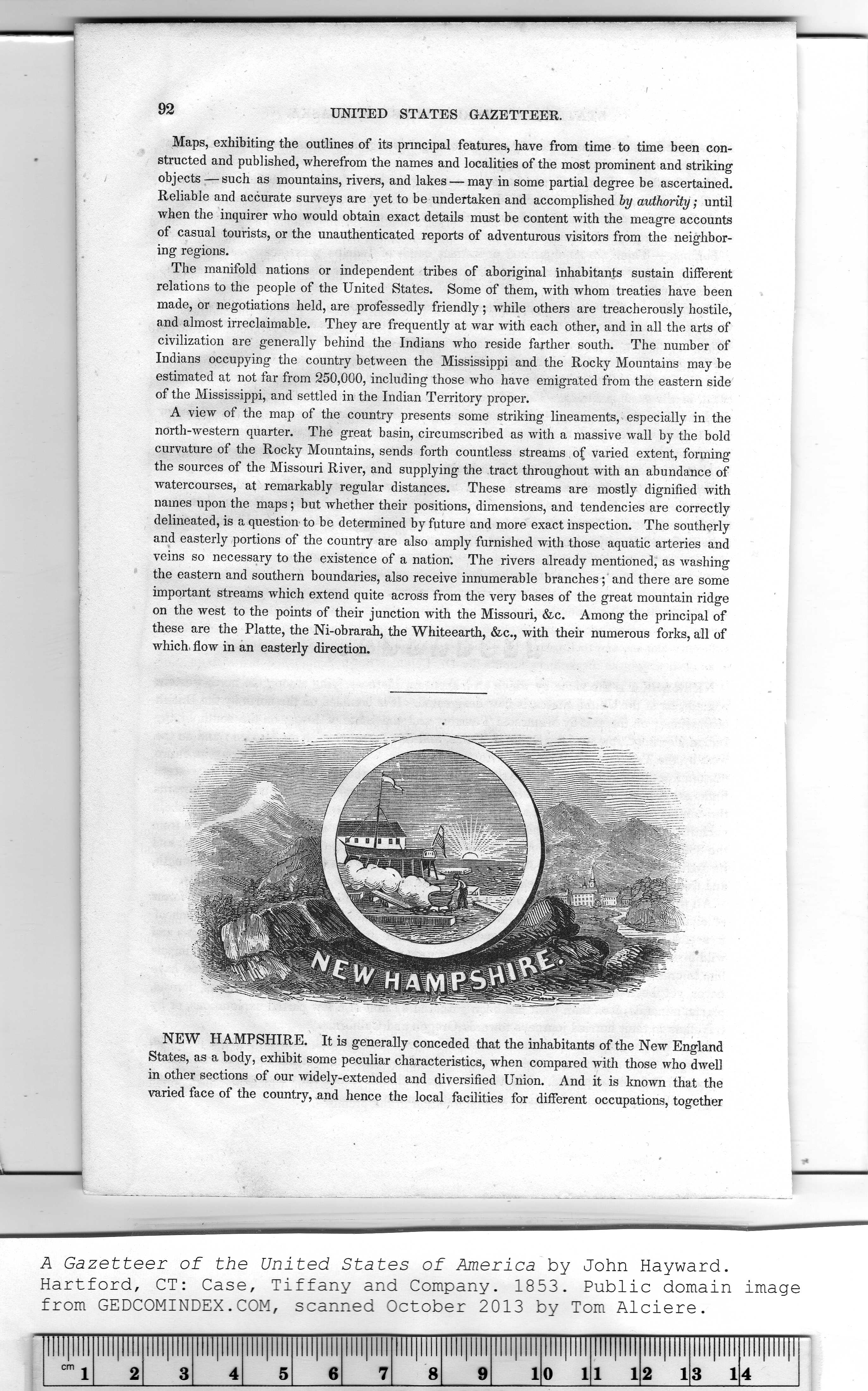
NEW HAMPSHIRE. It is generally conceded that the inhabitants of the New England
States, as a body, exhibit some peculiar characteristics, when compared with those who dwell
in other sections of our widely-extended and diversified Union. And it is known that the
varied face of the country, and hence the local facilities for different occupations, together
|
Illllllll |
Illllllll |
!lll|l!l! |
Illllllll |
Illllllll |
llll|llll |
Illllllll |
Illllllll |
Illllllll |
Illllllll |
Illllllll |
Illllllll |
Illllllll |
Illllllll |
|
|
cm j |
2 |
3 |
4 |
5 |
6 |
7 |
8 |
9 |
1 |
0 1 |
1 1 |
2 1 |
3 1 |
4 |
|