|
Gazetteer of the State of Maine With Numerous Illustrations, by Geo. J. Varney
BOSTON: PUBLISHED BY B. B. RUSSELL, 57 CORNHILL. 1882. Public domain image from
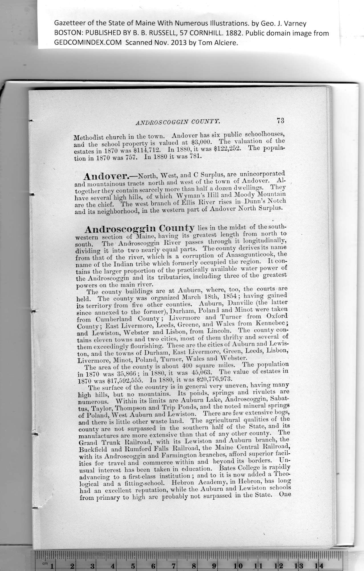
Methodist church in the town. Andover has six public schoolhouses,
and the school property is valued at $3,000. The valuation of the
estates in 1870 was $114,712. In 1880, it was $122,252. The popula-
tion in 1870 was 757. In 1880 it was 781.
Andover •—North, West, and C Surplus, are unincorporated
and mountainous tracts north and west of the town of Andover. Al-
together they contain scarcely more than half a dozen dwellings. They
have several high hills, of which Wyman’s Hill and Moody Mountain
are the chief. The west branch of Ellis River rises in Dunn’s Notch
and its neighborhood, in the western part of Andover North Surplus.
Androscoggin County lies in the midst of the south-
western section of Maine, having its greatest length from north to
south. The • Androscoggin River passes through it longitudinally,
dividing it into two nearly equal parts. The county derives its name
from that of the river, which is a corruption of Anasagunticook, the
name of the Indian tribe which formerly occupied the region. It con-
tains the larger proportion of the practically available wrater power of
the Androscoggin and its tributaries, including three of the greatest
powers on the main river.
The county buildings are at Auburn, where, too, the courts are
held. The county was organized March 18th, 1854; having gained
its territory from five other counties. Auburn, Danville (the latter
since annexed to the former), Durham, Poland and Minot were taken
from Cumberland County; Livermore and Turner from Oxford
County; East Livermore, Leeds, Greene, and Wales from Kennebec;
and Lewiston, Webster and Lisbon, from Lincoln. Tbe county con-
tains eleven towns and two cities, most of them thrifty and several of
them exceedingly flourishing. These are the cities of Auburn and Lewis-
ton, and the towns of Durham, East Livermore, Green, Leeds, Lisbon,
Livermore, Minot, Poland, Turner, Wales and Webster.
The area of the county is about 400 square miles. The population
in 1870 was 35,866; in 1880, it was 45,063. The value of estates in
1870 was $17,592,555. In 1880, it was $20,776,973.
The surface of the country is in general very uneven, having many
high hills, but no mountains. Its ponds, springs and rivulets are
numerous. Within its limits are Auburn Lake, Androscoggin, Sabat-
tus, Taylor, Thompson and Trip Ponds, and the noted mineral springs
of Poland, West Auburn and Lewiston. There are few extensive bogs,
and there is little other waste land. The agricultural qualities of the
county are not surpassed in the southern half of the State, and its
manufactures are more extensive than that of any other county. The
Grand Trunk Railroad, with its Lewiston and Auburn branch, the
Buckfield and Rumford Falls Railroad, the Maine Central Railroad,
with its Androscoggin and Farmington branches, afford superior facil-
ities for travel and commerce within and beyond its borders. Un-
usual interest has been taken in education. Bates College is rapidly
advancing to a first-class institution ; and to it is now added a Theo-
logical and a fitting-school. Hebron Academy, in Hebron, has long
had an excellent reputation, while the Auburn and Lewiston schools
from primary to high are probably not surpassed in the State. One
|
ilil III! |
!l!!|llll |
111!!!!!! |
llllllll! |
llllllll! |
[llll llll |
l|ll!l |
llll|!lli |
[lllllllll |
ill! Illl|l |
|
6 |
7 |
8 |
9 |
i |
0 1 |
i i |
2 1 |
3 1 |
4 |
PREVIOUS PAGE ... NEXT PAGE
This page was written in HTML using a program written in Python 3.2
|
