Gazetteer of the State of Maine, 1882 page 80
Click on the image to view a larger, bitmap (.bmp) image suitable for printing.

HOME PAGE ... REFERENCE PAGE ... THIS GAZETTEER’S PAGE


Click on the image above for a larger, bitmap image suitable for printing.


Gazetteer of the State of Maine With Numerous Illustrations, by Geo. J. Varney

BOSTON: PUBLISHED BY B. B. RUSSELL, 57 CORNHILL. 1882. Public domain image from

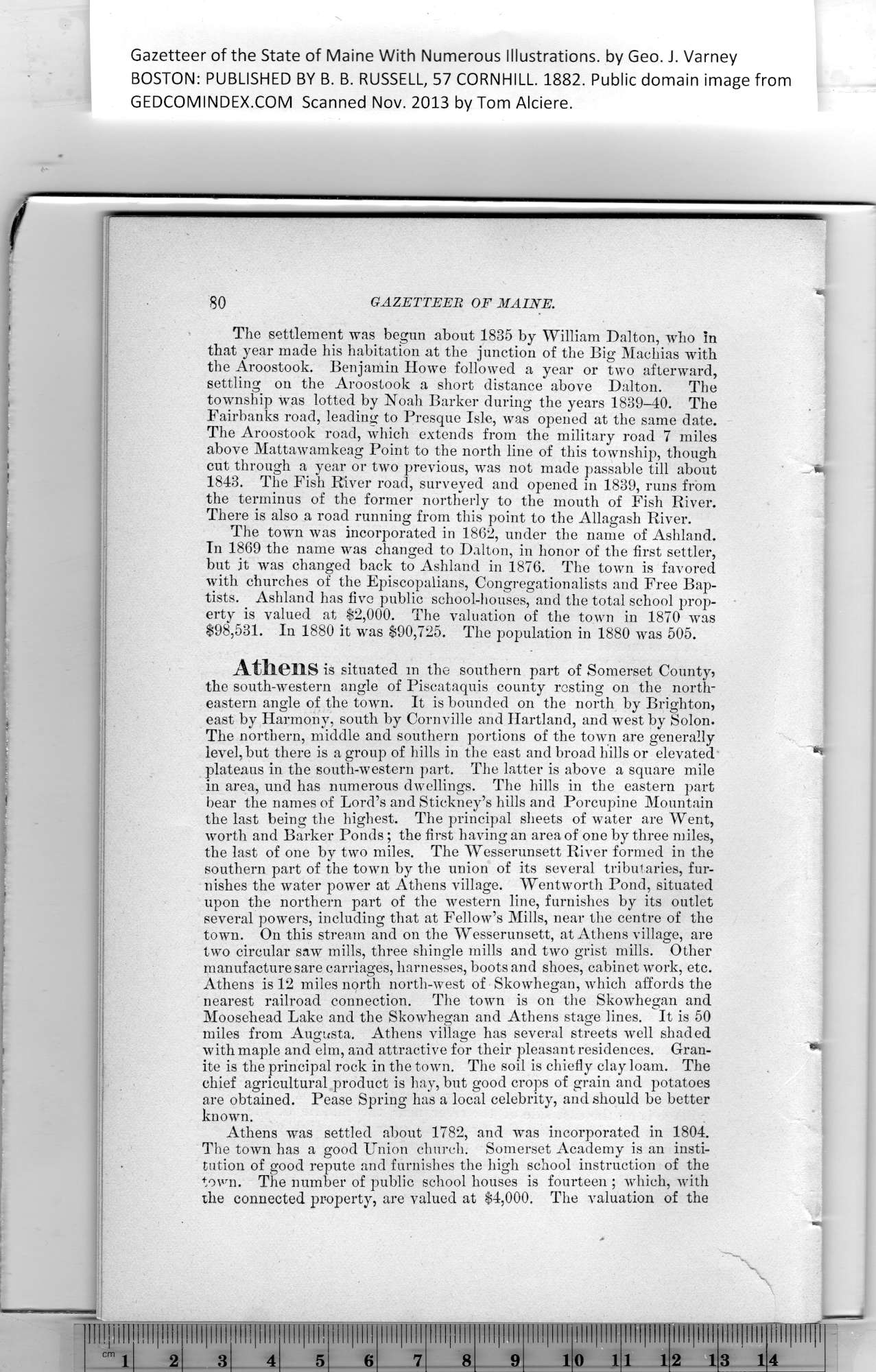
80    GAZETTEER    OF MAINE.

The settlement was begun about 1835 by William Dalton, who in
that year made his habitation at the junction of the Big Machias with
the Aroostook. Benjamin Howe followed a year or two afterward,
settling on the Aroostook a short distance above Dalton. The
township was lotted by Noah Barker during the years 1839-40. The
Fairbanks road, leading to Presque Isle, was opened at the same date.

The Aroostook road, which extends from the military road 7 miles

above Mattawamkeag Point to the north line of this township, though

cut through a year or two previous, was not made passable till about    *

1843. The Fish River road, surveyed and opened in 1839, runs from

the terminus of the former northerly to the mouth of Fish River.

There is also a road running from this point to the Allagash River.

The town was incorporated in 1862, under the name of Ashland.

In 1869 the name was changed to Dalton, in honor of the first settler,
but it was changed back to Ashland in 1876. The town is favored
with churches of the Episcopalians, Congregationalists and Free Bap-
tists. Ashland has five public school-houses, and the total school prop-
erty is valued at $2,000. The valuation of the town in 1870 was
$98,531. In 1880 it was $90,725. The population in 1880 was 505.

Athens is situated m the southern part of Somerset County5
the south-western angle of Piscataquis county resting on the north-
eastern angle of the town. It is bounded on the north by Brighton,
east by Harmony, south by Cornville and Hartland, and west by Solon.

The northern, middle and southern portions of the town are generally
level, but there is a group of hills in the east and broad hills or elevated    **

plateaus in the south-western part. The latter is above a square mile
in area, nnd has numerous dwellings. The hills in the eastern part
bear the names of Lord’s and Stickney’s hills and Porcupine Mountain
the last being the highest. The principal sheets of water are Went,
worth and Barker Ponds; the first having an area of one by three miles,
the last of one by two miles. The Wesserunsett River formed in the
southern part of the town by the union of its several tributaries, fur-
nishes the water power at Athens village. Wentworth Pond, situated
upon the northern part of the western line, furnishes by its outlet
several powers, including that at Fellow’s Mills, near the centre of the
town. On this stream and on the Wesserunsett, at Athens village, are
two circular saw mills, three shingle mills and two grist mills. Other
manufacture sare carriages, harnesses, boots and shoes, cabinet work, etc.

Athens is 12 miles north north-west of Skowhegan, which affords the

nearest railroad connection. The town is on the Skowhegan^ and

Moosehead Lake and the Skowhegan and Athens stage lines. It is 50

miles from Augusta. Athens village has several streets well shaded

with maple and elm, and attractive for their pleasant residences. Gran-    *

ite is the principal rock in the town. The soil is chiefly clay loam. The

chief agricultural product is hay, but good crops of grain and potatoes

are obtained. Pease Spring has a local celebrity, and should be better

known.

Athens was settled about 1782, and was incorporated in 1804.

The town has a good Union church. Somerset Academy is an insti-
tution of good repute and furnishes the high school instruction of the
town. The number of public school houses is fourteen ; which, with
the connected property, are valued at $4,000. The valuation of the


PREVIOUS PAGE ... NEXT PAGE

This page was written in HTML using a program written in Python 3.2