|
Gazetteer of the State of Maine With Numerous Illustrations, by Geo. J. Varney
BOSTON: PUBLISHED BY B. B. RUSSELL, 57 CORNHILL. 1882. Public domain image from
CUMBERLAND COUNTY.
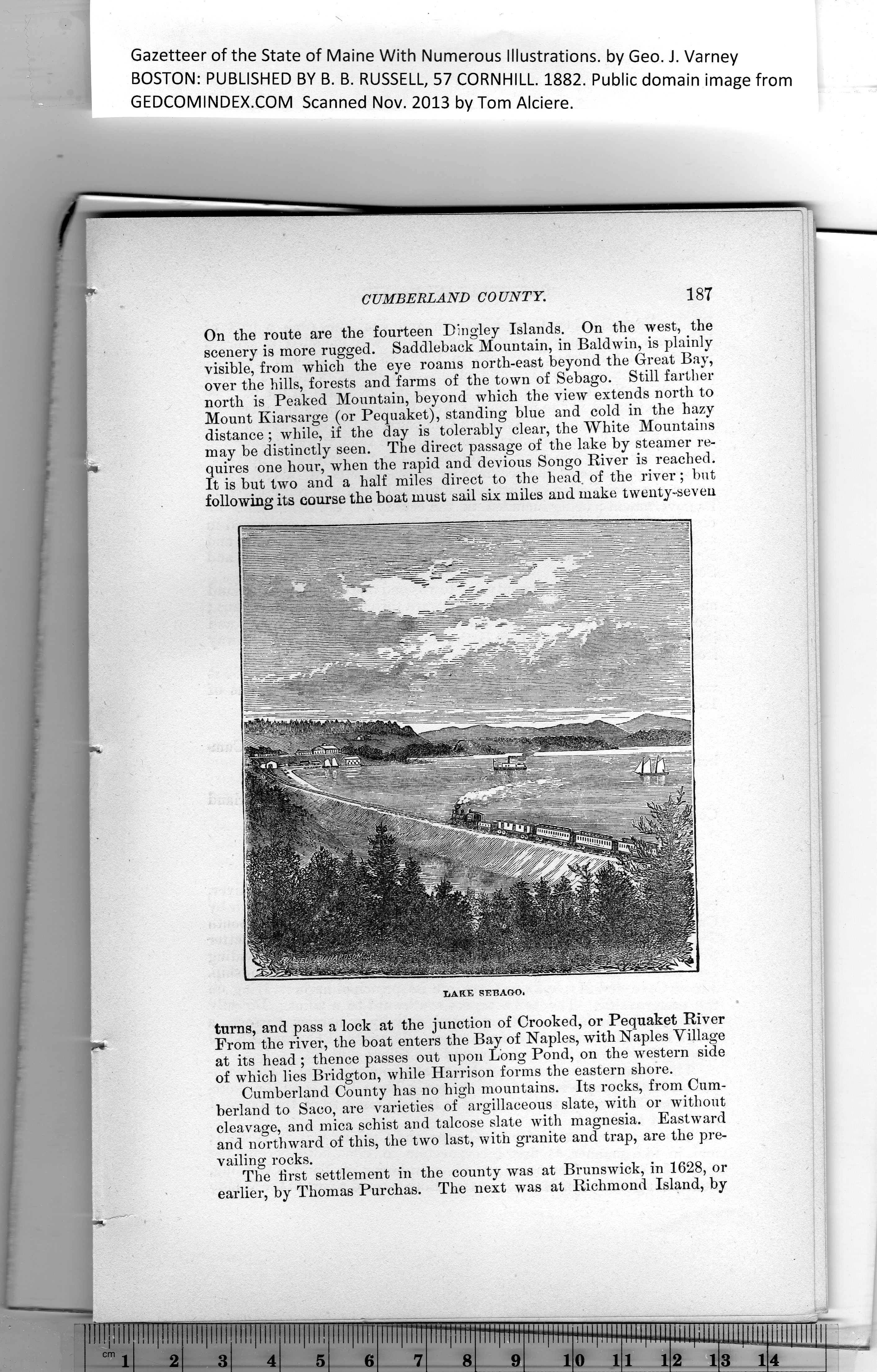
On the route are the fourteen Dingley Islands. On the west, the
scenery is more rugged. Saddleback Mountain, in Baldwin, is plainly
visible, from which the eye roams north-east beyond the Great Bay,
over the hills, forests and farms of the town of Sebago. Still farther
north is Peaked Mountain, beyond which the view extends north to
Mount Kiarsarge (or Pequaket), standing blue and cold in the hazy
distance ; while, if the day is tolerably clear, the White Mountains
may be distinctly seen. The direct passage of the lake by steamer re-
quires one hour, when tbe rapid and devious Songo River is reached.
It is but two and a half miles direct to the head of the river; but
following its course the boat must sail six miles and make twenty-seven
turns, and pass a lock at the junction of Crooked, or Pequaket River
From the river, the boat enters the Bay of Naples, with Naples Village
at its head ; thence passes out upon Long Pond, on the western side
of which lies Bridgton, while Harrison forms the eastern shore.
Cumberland County has no high mountains. Its rocks, from Cum-
berland to Saco, are varieties of argillaceous slate, with or without
cleavage, and mica schist and talcose slate with magnesia. Eastward
and northward of this, the two last, with granite and trap, are the pre-
vailing rocks.
The first settlement in the county was at Brunswick, in 1628, or
earlier, by Thomas Purchas. The next was at Richmond Island, by
PREVIOUS PAGE ... NEXT PAGE
This page was written in HTML using a program written in Python 3.2
|