Click on the image to view a larger, bitmap (.bmp) image suitable for printing. HOME PAGE ... REFERENCE PAGE ... THIS GAZETTEER’S PAGE |

Click on the image above for a larger, bitmap image suitable for printing.
|
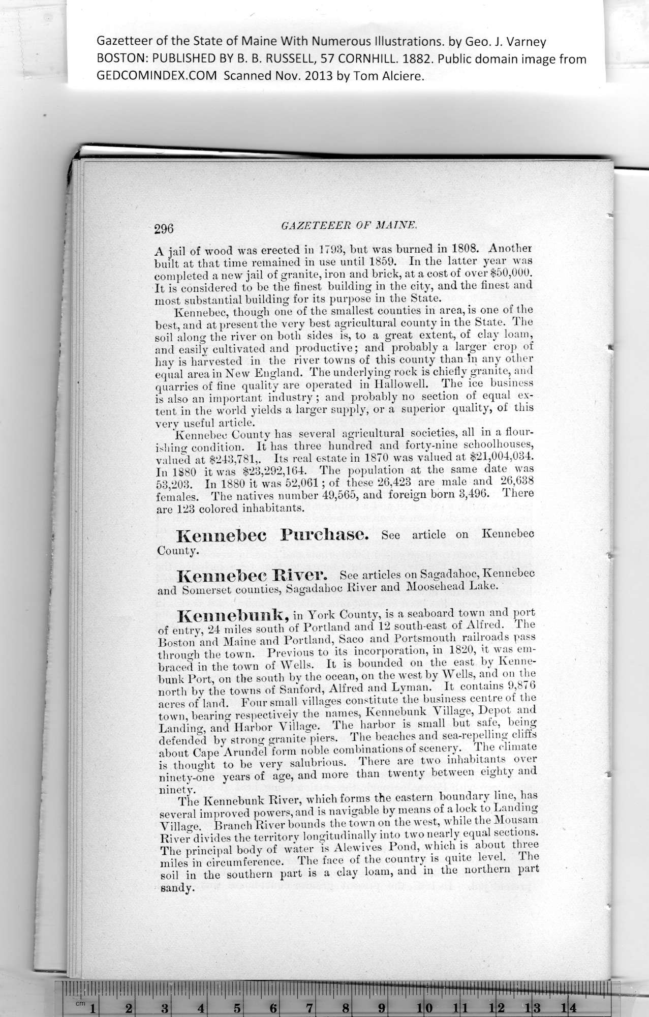
Gazetteer of the State of Maine With Numerous Illustrations, by Geo. J. Varney BOSTON: PUBLISHED BY B. B. RUSSELL, 57 CORNHILL. 1882. Public domain image from 296 GAZETEEER OF MAINE. ( A jail of wood was erected in 1793, hut was burned in 1808. Another It is considered to be the finest building in the city, and the finest and Kennebec, though one of the smallest counties in area, is one of the hay is harvested in the river towns of this county than in any other Kennebec County has several agricultural societies, all in a flour- In 1880 it was $23,292,164. The population at the same date was |; Kennebec Purchase. See article on Kennebec j1! i County. I j 11 Kennebec River. See articles on Sagadahoc, Kennebec h!1 and Somerset counties, Sagadahoc River and Moosehead Lake. Kennebunk, in York County, is a seaboard town and port jj Boston" and Maine and Portland, Saco and Portsmouth railroads pass 1h through the town. Previous to its incorporation, in 1820, it was em- bunk Port, on the south by the ocean, on the west by Wells, and on the |i I acres of land. Four small villages constitute the business centre of the town, bearing respectively the names, Kennebunk Village, Depot and |j i defended by strong granite piers. The beaches and sea-repelling cliffs || | about Cape Arundel form noble combinations of scenery. The climate I! | is thought to be very salubrious. There are two inhabitants over ninety-one years of age, and more than twenty between eighty and ^ J; i ninety. , j j The Kennebunk River, which forms the eastern boundary line, has I! ; several improved powers, and is navigable by means of a lock to Landing j Village. Branch River bounds the town on the west, while the Mousam j ! River divides the territory longitudinally into two nearly equal sections. j| I The principal body of water is Alewives Pond, which is about three iii ■ miles in circumference. The face of the country is quite level. The ||j i soil in the southern part is a clay loam, and in the northern part ir ' sandy. PREVIOUS PAGE ... NEXT PAGE This page was written in HTML using a program written in Python 3.2 |