|
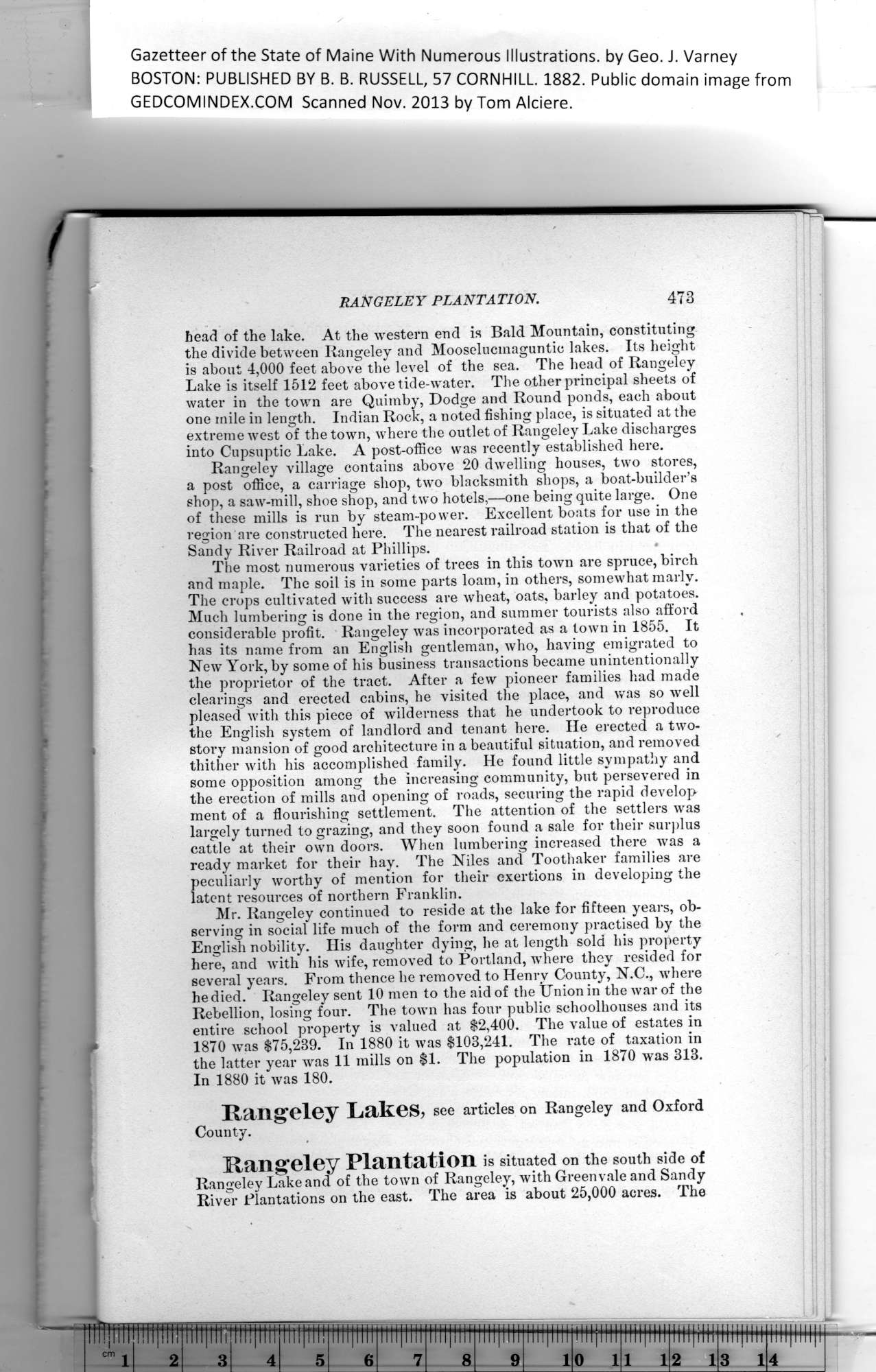
Gazetteer of the State of Maine With Numerous Illustrations, by Geo. J. Varney
BOSTON: PUBLISHED BY B. B. RUSSELL, 57 CORNHILL. 1882. Public domain image from
RANGELEY PLANTATION. 478
head of the lake. At the western end is Bald Mountain, constituting
the divide between Rangeley and Mooselucmaguntie lakes. Its height
is about 4,000 feet above the level of the sea. The head of Rangeley
Lake is itself 1512 feet above tide-water. The other principal sheets of
water in the town are Quimby, Dodge and Round ponds, each about
one mile in length. Indian Rock, a noted fishing place, is situated at the
extreme west of the town, where the outlet of Rangeley Lake discharges
into Cupsuptic Lake. A post-office was recently established here.
Rangeley village contains above 20 dwelling houses, two stores,
a post office, a carriage shop, two blacksmith shops, a boat-builder’s
shop, a saw-mill, shoe shop, and two hotels,—one being quite large. One
of these mills is run by steam-power. Excellent boats for use in the
region are constructed here. The nearest railroad station is that of the
Sandy River Railroad at Phillips.
The most numerous varieties of trees in this town are spruce, birch
and maple. The soil is in some parts loam, in others, somewhat marly.
The crops cultivated with success are wheat, oats, barley and potatoes.
Much lumbering is done in the region, and summer tourists also afford
considerable profit. Rangeley was incorporated as a town in 1855. It
has its name from an English gentleman, who, having emigrated to
New York, by some of his business transactions became unintentionally
the proprietor of the tract. After a few pioneer families had made
clearings and erected cabins, he visited the place, and was so well
pleased with this piece of wilderness that he undertook to reproduce
the English system of landlord and tenant here. He erected a two-
story mansion of good architecture in a beautiful situation, and removed
thither with his accomplished family. He found little sympathy and
some opposition among the increasing community, but persevered in
the erection of mills and opening of roads, securing the rapid develop
ment of a flourishing settlement. The attention of the settlers was
largely turned to grazing, and they soon found a sale for their surplus
cattle at their own doors. When lumbering increased there was a
ready market for their hay. The Niles and Toothaker families are
peculiarly worthy of mention for their exertions in developing the
latent resources of northern Franklin.
Mr. Rangeley continued to reside at the lake for fifteen years, ob-
serving in social life much of the form and ceremony practised by the
English nobility. His daughter dying, he at length sold bis property
here, and with his wife, removed to Portland, where they resided for
several years. From thence he removed to Henry County, N.C., where
he died. Rangeley sent 10 men to the aid of the Union in the war of the
Rebellion, losing four. The town has four public schoolhouses and its
entire school property is valued at $2,400. The value of estates in
1870 was $75,239. In 1880 it was $103,241. The rate of taxation in
the latter year was 11 mills on $1. The population in 1870 was 313.
In 1880 it was 180.
Rangeley LrKGS, see articles on Rangeley and Oxford
County.
Rangeley Plantation is situated on the south side of
Rangeley Lake and of the town of Rangeley, with Greenvale and Sandy
River Plantations on the east. The area is about 25,000 acres. The
PREVIOUS PAGE ... NEXT PAGE
This page was written in HTML using a program written in Python 3.2
|
