|
Gazetteer of the State of Maine With Numerous Illustrations, by Geo. J. Varney
BOSTON. PUBLISHED BY B. B. RUSSELL, 57 CORNHILL. 1882. Public domain image from
SA CADAHO C CoUNTY.
pid Champlain made the first known visit of Europeans to Sagadahoc.
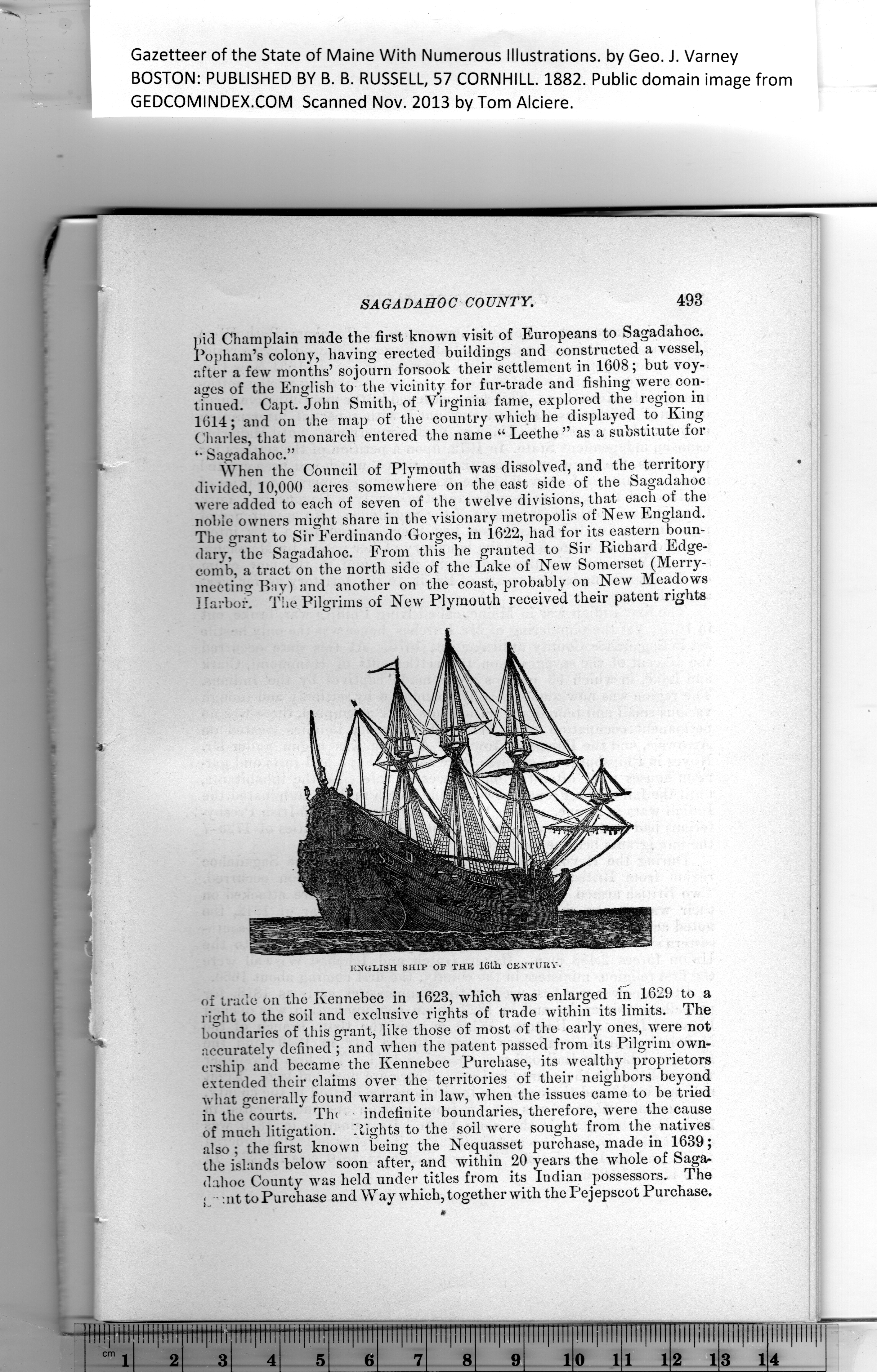
Popham’s colony, having erected buildings and constructed a vessel,
after a few months’ sojourn forsook their settlement in 1608; but voy-
ages of the English to the vicinity for fur-trade and fishing were con-
tinued. Capt. John Smith, of Virginia fame, explored the region in
1614; and on the map of the country which he displayed to King
Charles, that monarch entered the name “ Leethe ” as a substit ute for
Sagadahoc.”
When the Council of Plymouth was dissolved, and the territory
divided, 10,000 acres somewhere on the east side of the Sagadahoc
were added to each of seven of the twelve divisions, that each of the
noble owners might share in the visionary metropolis of New England.
The grant to Sir Ferdinando Gorges, in 1622, had for its eastern boun-
dary, the Sagadahoc. From this he granted to Sir Richard Edge-
comb, a tract on the north side of the Lake of New Somerset (Merry-
meeting Bay) and another on the coast, probably on New Meadows
Harbor, The Pilgrims of New Plymouth received their patent rights
of trade on the Kennebec in 1623, which was enlarged in 1629 to a
right to the soil and exclusive rights of trade within its limits. The
boundaries of this grant, like those of most of the early ones, were not
accurately defined ; and when the patent passed from its Pilgrim own-
ership and became the Kennebec Purchase, its wealthy proprietors
extended their claims over the territories of their neighbors beyond
what generally found warrant in law, when the issues came to be tried
in the courts. The indefinite boundaries, therefore, were the cause
of much litigation. Rights to the soil were sought from the natives
also; the first known being the Nequasset purchase, made in 1639;
the islands below soon after, and within 20 years the whole of Saga-
dahoc County was held under titles from its Indian possessors. The
g • mt to Purchase and Way which, together with the Pejepscot Purchase.
PREVIOUS PAGE ... NEXT PAGE
This page was written in HTML using a program written in Python 3.2
|