|
DELAWARE COUNTY.
This county was formed from Ulster and Otsego, March 10, 17971
It lies upon the headwaters of Delaware Eiver, from which it
derives its name. It contains an area of 1,580 sq. mi., and is cen¬
trally distant 70 mi. from Albany. Its surface is a hilly and
mountainous upland, divided into 3 general ridges by the valleys
of the 2 principal branches of Delaware Eiver. This upland region
ggggfj is a connecting link between the Blue Eidge upon the s. and the
Catskill and Helderbergh Mts. on the sr. In the s. part of the co.
these ridges form a mountainous region, with lofty, rocky peaks and
precipitous declivities broken by wild and narrow ravines. In the
sr. the highlands are less wild and precipitous, and the whole region
assumes the character of a rugged, hilly upland.2 The main or w.
branch of the Delaware8 Eiver takes its rise in Utsyanthia Lake,4 a small sheet of water upon the
n. e. line of the co. It flows 60 mi. in a s. w. direction to the w. border of the co., thence turns
abruptly to the s. and forms the s. e. boundary of Tompkins and Hancock. In its course in the co.
it descends about 1000 feet. Pepachton Eiver,5 the e. branch of the Delaware, rises in Eoxbury
and flows 60 mi. s. w., uniting with the Delaware at Hancock. The Susquehanna forms a portion
of the n. boundary of the co. Charlotte Eiver and Ouleout Creek are tributaries of the Susque¬
hanna. The other streams are creeks and brooks, principally tributaries to the 2 branches of the
Delaware. The valleys of these streams are usually narrow, and bordered by steep hills which
often rise into mountains. The rocks of the co. mostly belong to the old red sandstones of the Cats¬
kill division.
The mineral wealth of the co. is limited to stone useful for building and flagging, of which large
quantities of a fine quality are found. Vague traditions of silver and lead mines have here, as in
other counties, haunted the brains of dreaming adventurers. A brine spring is reported 4 mi. n. w.
of Delhi Village, and 1384 feet above tide, another 3J mi. from Colchester, and several chalybeate
springs in various parts of the co.; but none of them are important.6 The soil is generally of a
dark reddish color, composed of the disintegrated sandstone and shale. In the valleys are occa¬
sionally narrow strips of fertile alluvium. Dairying is at present the leading occupation of the
people. The numerous fresh springs of water issuing from its hillsides,7 the fresh herbage, and
bracing mountain air, seem peculiarly adapted to this business.8 Lumber was formerly rafted in
large quantities to Philadelphia; but, although still extensively exported by R. R., the quantity is
diminishing.9 Since the completion of the r. r., tanneries have sprung up in favored localities, and
will continue until the supply of bark is exhausted. The other manufactures are chiefly limited
to the local wants of the inhabitants. The immense amount of water power in the co. will greatly
facilitate the establishment of manufactories whenever the exigencies of the co. may demand
them.
|
r The W. branch of the Delaware was formerly the boundary
line between Otsego and Ulster cos. The line between this co.
and Broome was run according to the treaty of Fort Stanwix
of Nov. 5, 1768, and was known for a long period as the “Line
of Property”
2 The following is a list of elevations above tide, principally
derived from the State Road Survey in 1825, and various R. s.
surveys of more recent date:—
Delaware Hi ter, e. border (estimated)................. 830 feet.
Junction of the two branches of Delaware........... 922 “
Hancock Station............................................. 943
Delaware River at Hales Eddy.......................... 950
Dickinsons Station..................................... 953
Deposit (State Road Survey).............................. 1004
Sidney Village...................................... 1010
Mouth of Beaver Kil.............. 1018
Franklin Village............................................. 1240
Arkville, near Margaretville.............................. 1345
Courthouse Square...........................................1453
West Meredith (John Stittson).......................... 1726
Perch Pond.................................... 1765
Stamford Village (Newburgh & Syracuse R. R.
Survey) ............................................ 1765 |
Fish Lake, near Delhi....................................... 1770 feet.
Elk Creek Summit (3 or 4 mi. from Delhi) 1859 “
Warner Pass (3 mi. w. of Stamford Village) 1887 “
Head of Delaware, Stamford.............................. 1888 “
Davenport Center................ 1898 “
Lowest summit “between Ouleout Creek and Delhi 2143 “
Mt. Pisgah, Andes (estimated)............................ 3400 “
8 Otherwise called the “Mohawk Branch of the Delaware,’'
and by the Indians “ Cookquago” or “ Cacquago.”
4 This lake is often mentioned in early documents. In colo¬
nial times it was at one of the angles of Albany co.
5 Sometimes written Popacton, Papotunk. In the Govern¬
ment returns the p. o. named from the river is written Pe-
pacton.
8 Beck’s Mineralogy IV. Y, p. 160.
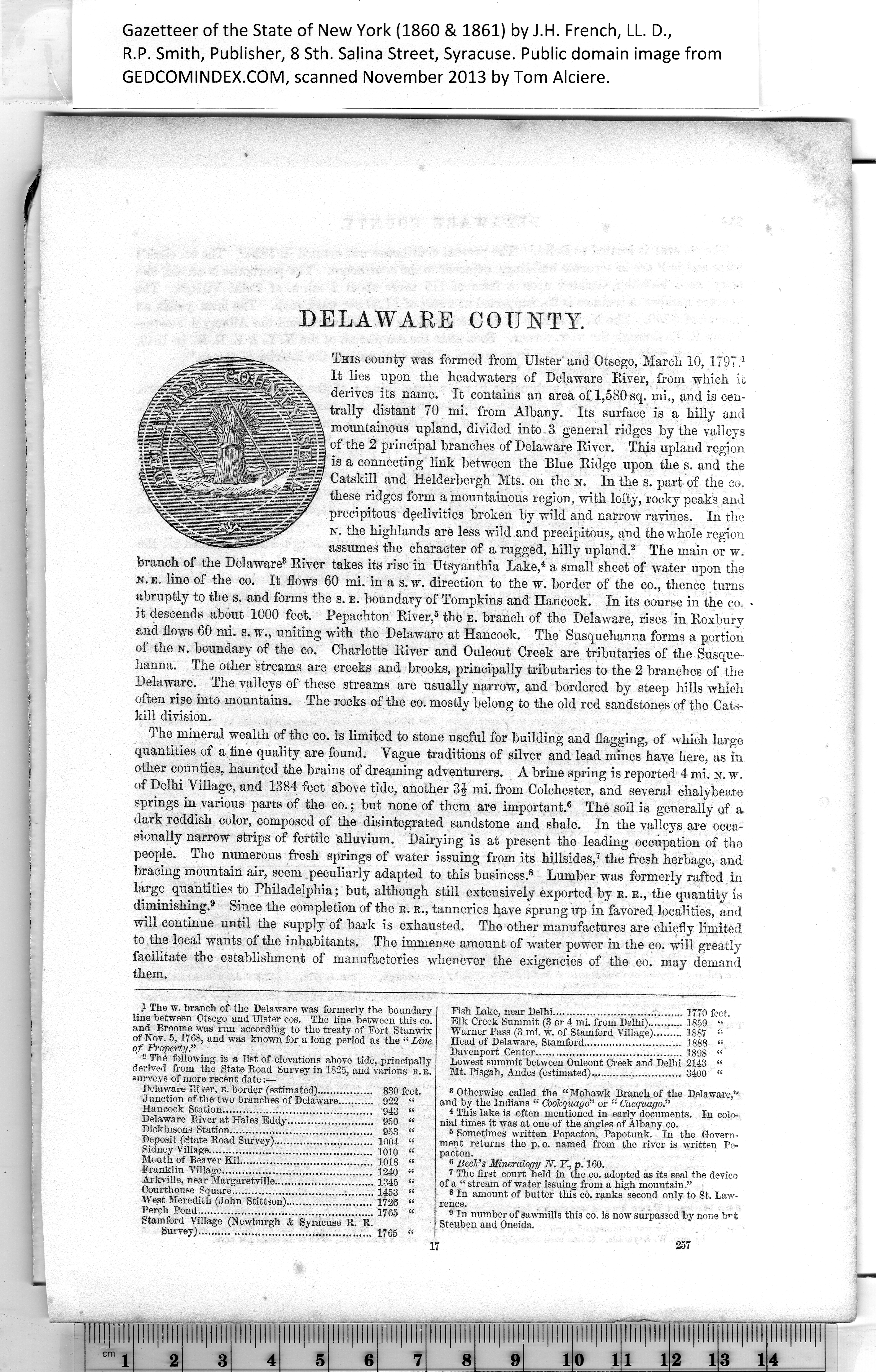
1 The first court held in the co. adopted as its seal the device
of a “ stream of water issuing from a high mountain.”
8 In amount of butter this co. ranks second only to St. Law¬
rence.
9 In number of sawmills this CO. is now surpassed by none but
Steuben and Oneida. |
17 257
|