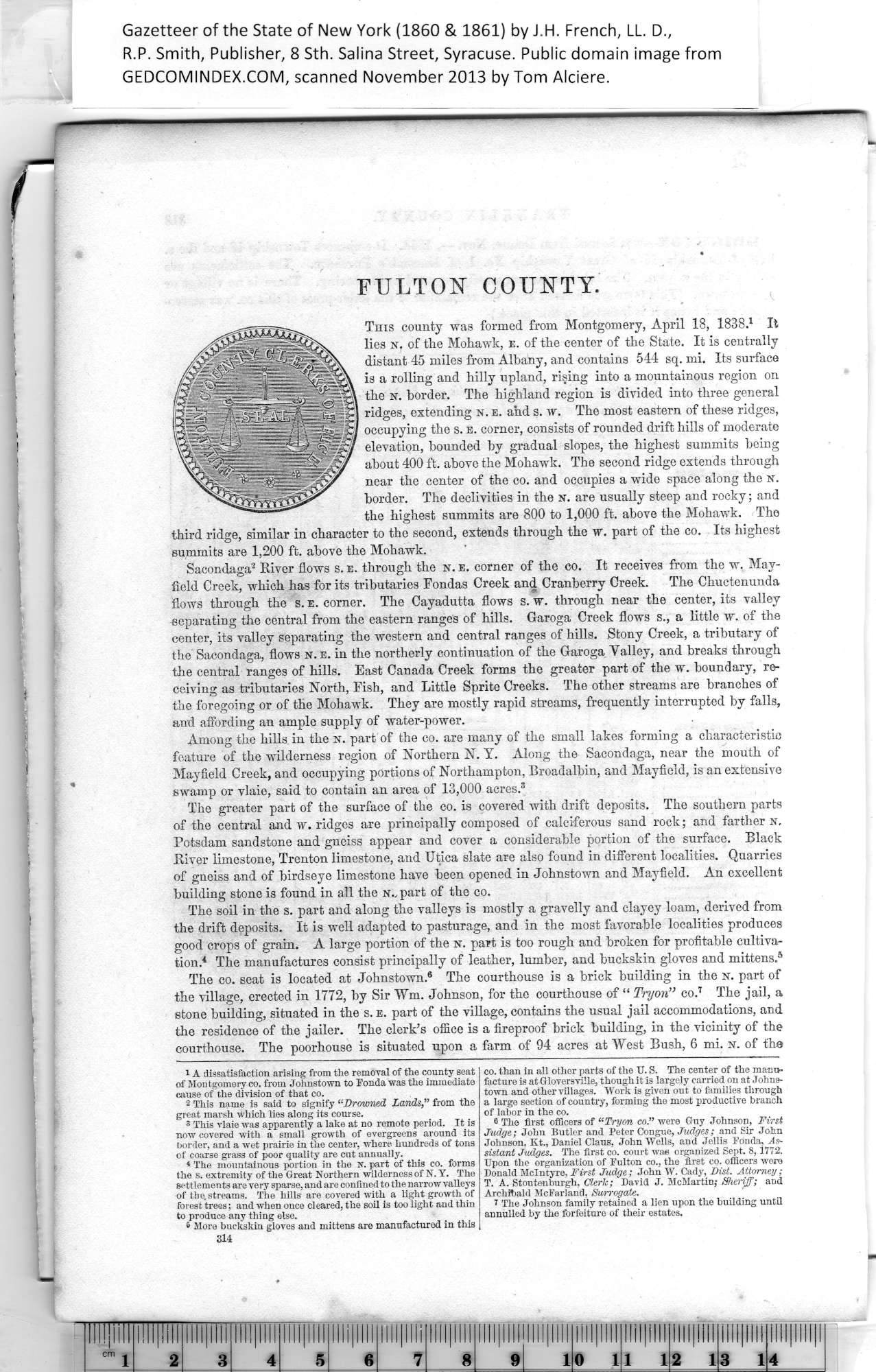
|
FULTON COUNTY.
This county was formed from Montgomery, April 18, 1838.1 It
lies n. of the Mohawk, e. of the center of the State. It is centrally
distant 45 miles from Albany, and contains 544 sq. mi. Its surface
is a rolling and hilly upland, rising into a mountainous region on
the n. border. The highland region is divided into three general
ridges, extending isr. e. and s. w. The most eastern of these ridges,
occupying the s. e. corner, consists of rounded drift hills of moderate
elevation, bounded by gradual slopes, the highest summits being
about 400 ft. above the Mohawk. The second ridge extends through
near the center of the co. and occupies a wide space along the n.
border. The declivities in the N. are usually steep and rocky; and
the highest summits are 800 to 1,000 ft. above the Mohawk. The
third ridge, similar in character to the second, extends through the w. part of the co. Its highest
summits are 1,200 ft. above the Mohawk.
Sacondaga2 River flows s. e. through the n. e. corner of the co. It receives from the w. May¬
field Creek, which has for its tributaries Fondas Creek and Cranberry Creek. The Chuctenunda
flows through the s. e. corner. The Cayadutta flows s. w. through near the center, its valley
separating the central from the eastern ranges of hills. Garoga Creek flows s., a little w. of the
center, its valley separating the western and central ranges of hills. Stony Creek, a tributary of
the Sacondaga, flows N. e. in the northerly continuation of the Garoga Yalley, and breaks through
the central ranges of hills. East Canada Creek forms the greater part of the w. boundary, re¬
ceiving as tributaries North, Fish, and Little Sprite Creeks. The other streams are branches of
tlie foregoing or of the Mohawk. They are mostly rapid streams, frequently interrupted by falls,
and affording an ample supply of water-power.
Among the hills, in the n. part of the co. are many of the small lakes forming a characteristic
feature of the wilderness region of Northern N. Y. Along the Sacondaga, near the mouth of
Mayfield Creek, and occupying portions of Northampton, Broadalbin, and Mayfield, is an extensive
swamp or vlaie, said to contain an area of 13,000 acres.3
The greater part of the surface of the co. is covered with drift deposits. The southern parts
of the central and w. ridges are principally composed of calciferous sand rock; and farther n.
Potsdam sandstone and gneiss appear and cover a considerable portion of the surface. Black
River limestone, Trenton limestone, and Utica slate are also found in different localities. Quarries
of gneiss and of birdseye limestone have been opened in Johnstown and Mayfield. An excellent
building stone is found in all the N.. part of the co.
The soil in the s. part and along the valleys is mostly a gravelly and clayey loam, derived from
the drift deposits. It is well adapted to pasturage, and in the most favorable localities produces
good crops of grain. A large portion of the n. part is too rough and broken for profitable cultiva¬
tion.4 The manufactures consist principally of leather, lumber, and buckskin gloves and mittens.5
The co. seat is located at Johnstown.5 The courthouse is a brick building in the n. part of
the village, erected in 1772, by Sir Wm. Johnson, for the courthouse of “ Try on” co.6 The jail, a
stone building, situated in the s.e. part of the village, contains the usual jail accommodations, and
the residence of the jailer. The clerk’s office is a fireproof brick building, in the vicinity of the
courthouse. The poorhouse is situated upon a farm of 94 acres at West Bush, 6 mi. n. of the
|
co. than in all other parts of the U. S. The center of the manu¬
facture is at Gloversviile, though it is largely carried on at Johns¬
town and other villages. Work is given out to families through
a large section of country, forming the most productive branch
of labor in the co.
6 The first officers of “Tryon co.” were Guy Johnson, First
Judge; John Butler and Peter Conguc, Judges; and Sir John
Johnson, Kt., Daniel Claus, John Wells, and Jellis Fonda, As¬
sistant Judges. The first co. court was organized Sept. 8,1772.
Upon the organization of Fulton co., the first co. officers were
Donald McIntyre, First Judge; John W. Cady, Dist. Attorney;
T. A. Stoutenburgh, Cleric; David J. McMartin; Sheriff; and
Archibald McFarland, Surrogate.
1 The Johnson family retained a lien upon the building until
annulled by the forfeiture of their estates. |
1
A dissatisfaction arising from the removal of the county seat
of Montgomery co. from Johnstown to Fonda was the immediate
cause of the division of that co.
2
This name is said to signify “Drowned Lands,” from the
great marsh which lies along its course.
3
i The mountainous portion in the N. part of this co. forms
the s. extremity of the Great Northern wilderness of N. Y. The
settlements are very sparse, and are confined to the narrow valleys
of the. streams. The hills are covered with a light growth of
forest trees; and when once cleared, the soil is too light and thin
to produce any thing else.
4
border, and a wet prairie in the center, where hundreds of tons
of coarse grass of poor quality are cut annually.
5
More buckskin gloves and mittens are manufactured in this
6
314
|
