|
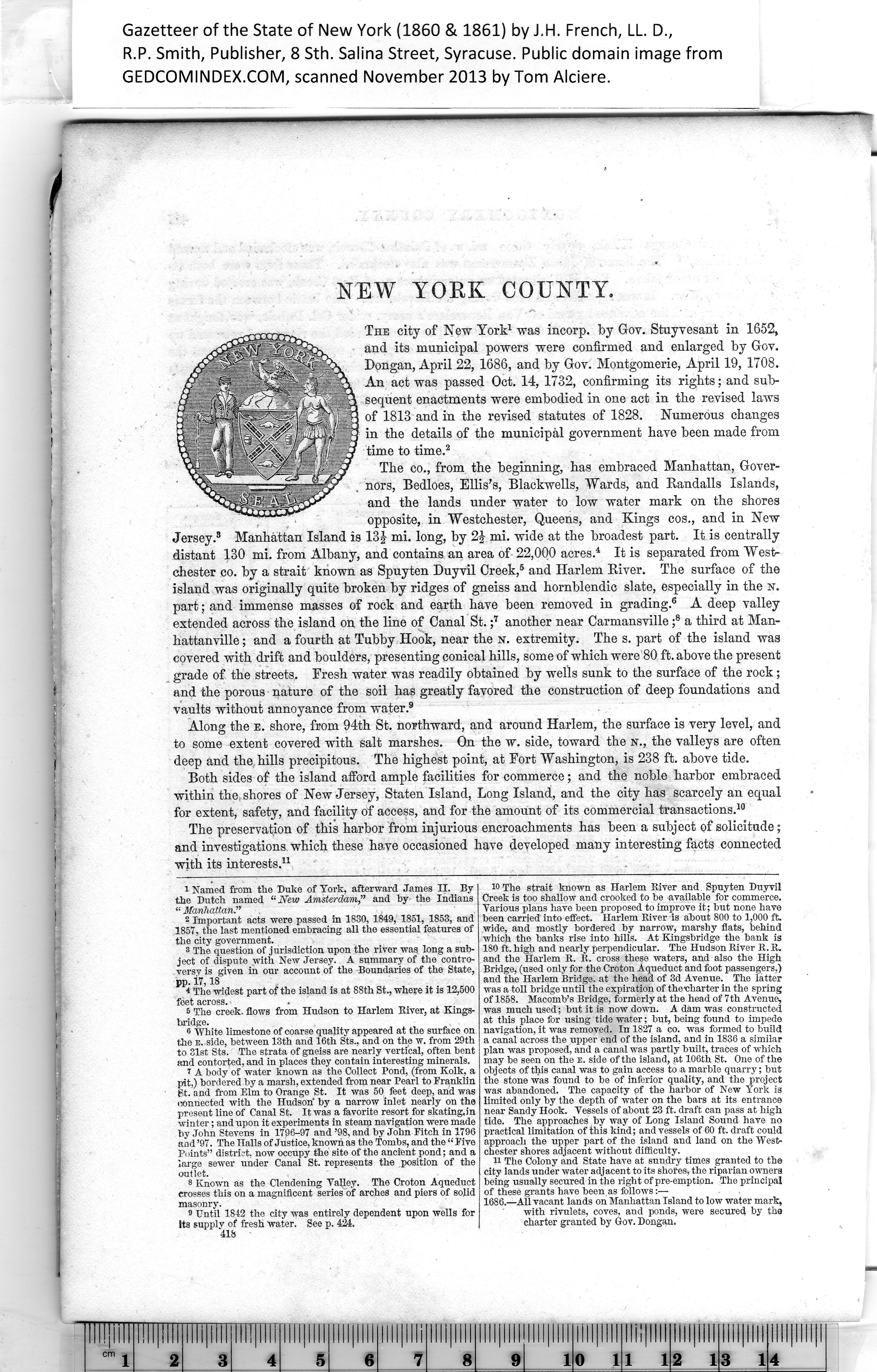
NEW YORK COUNTY.
The city of New York1 was incorp. by Gov. Stuyvesant in 1652,
and its municipal powers were confirmed and enlarged by Gov.
Dongan, April 22, 1686, and by Gov. Montgomerie, April 19, 1708.
An act was passed Oct. 14, 1732, confirming its rights; and sub¬
sequent enactments were embodied in one act in the revised laws
of 1813 and in the revised statutes of 1828. Numerous changes
in the details of the municipal government have been made from
time to time.2
The co., from the beginning, has embraced Manhattan, Gover¬
nors, Bedloes, Ellis’s, Blackwells, Wards, and Randalls Islands,
and the lands under water to low water mark on the shores
opposite, in Westchester, Queens, and Kings cos., and in New
Jersey.3 Manhattan Island is 13§- mi. long, by 2J mi. wide at the broadest part. It is centrally
distant 130 mi. from Albany, and contains an area of 22,000 acres.4 It is separated from West¬
chester co. by a strait known as Spuyten Duyvil Creek,5 and Harlem River. The surface of the
island was originally quite broken by ridges of gneiss and hornblendic slate, especially in the sr.
part; and immense masses of rock and earth have been removed in grading.6 A deep valley
extended across the island on the line of Canal St. ;7 another near Carmansville ;8 a third at Man-
hattanville; and a fourth at Tubby Hook, near the n. extremity. The s. part of the island was
covered with drift and boulders, presenting conical hills, some of which were 80 ft. above the present
grade of the streets. Fresh water was readily obtained by wells sunk to the surface of the rock;
and the porous nature of the soil has greatly favored the construction of deep foundations and
vaults without annoyance from water.9
Along the e. shore, from 94th St. northward, and around Harlem, the surface is very level, and
to some extent covered with salt marshes. On the w. side, toward the n., the valleys are often
deep and the hills precipitous. The highest point, at Fort Washington, is 238 ft. above tide.
Both sides of the island afiord ample facilities for commerce; and the noble harbor embraced
within the,shores of New Jersey, Staten Island, Long Island, and the city has scarcely an equal
for extent, safety, and facility of access, and for the amount of its commercial transactions.10
The preservation of this harbor from injurious encroachments has been a subject of solicitude;
and investigations which these have occasioned have developed many interesting facts connected
with its interests.11
|
10 The strait known as Harlem River and Spuyten Duyvil
Creek is too shallow and crooked to be available for commerce.
Various plans have been proposed to improve it; but none have
been carried' into effect. Harlem River is about 800 to 1,000 ft.
wide, and mostly bordered by narrow, marshy flats, behind
which the banks rise into hills. At Kingsbridge the bank is
180 ft. high and nearly perpendicular. The Hudson River R. R.
and the Harlem R. It. cross these waters, and also the High
Bridge, (used only for the Croton Aqueduct and foot passengers,)
and the Harlem Bridge, at the head of 3d Avenue. The latter
was a toll bridge until the expiration of the'charter in the spring
of 1858. Macomb’s Bridge, formerly at the head of 7th Avenue,
was much used; but it is now down. A dam was constructed
at this place for using tide water; but, being found to impede
navigation, it was removed. In 1827 a co. was formed to build
a canal across the upper end of the island, and in 1836 a similar
plan was proposed, and a canal was partly built, traces of which
may be seen on the e. side of the island, at 106th St. One of the
objects of this canal was to gain access to a marble quarry; but
the stone was found to be of inferior quality, and the project
was abandoned. The capacity of the harbor of New York is
limited only by the depth of water on the bars at its entrance
near Sandy Hook. Vessels of about 23 ft. draft can pass at high
tide. The approaches by way of Long Island Sound have no
practical limitation of this kind; and vessels of 60 ft. draft could
approach the upper part of the island and land on the West¬
chester shores adjacent without difficulty.
H The Colony and State have at sundry times granted to the
city lands under water adjacent to its shores, the riparian owners
being usually secured in the right of pre-emption. The principal
of these grants have been as follows:—
1686.—All vacant lands on Manhattan Island to low water mark,
with rivulets, coves, and ponds, were secured by the
charter granted by Gov. Dongan. |
1
Named from the Duke of York, afterward James II. By
the Dutch named “New Amsterdam,” and by the Indians
“ Manhattan.”
2
Important acts were passed in 1830, 1849, 1851, 1853, and
1857, the last mentioned embracing all the essential features of
the city government.
3
8 The question of jurisdiction upon the river was long a sub¬
ject of dispute with New Jersey. A summary of the contro¬
versy is given in our account of the Boundaries of the State,
pp. i7,18
4
* The widest part of the island is at 88th St., where it is 12,500
foet across.
5
The creek, flows from Hudson to Harlem River, at Kings-
bridge.
6
8 White limestone of coarse quality appeared at the surface on
the e. side, between 13th and 16th Sts., and on the w. from 29th
to 31st Sts. The strata of gneiss are nearly vertical, often bent
and contorted, and in places they contain interesting minerals.
7
A body of water known as the Collect Pond, (from Kolk, a
pit.) bordered by a marsh, extended from near Pearl to Franklin
St. and from Elm to Orange St. It was 50 feet deep, and was
connected with the Hudson' by a narrow inlet nearly on the
present line of Canal St. It was a favorite resort for skating,in
winter; and upon it experiments in steam navigation were made
by John Stevens in 1796-97 and ’98, and by John Fitch in 1796
and ’97. The Halls of Justice, known as the Tombs, and the “ Five
Points” district, now occupy the site of the ancient pond; and a
large sewer under Canal St. represents the position of the
outlet.
8
Known as the Clendening Valley. The Croton Aqueduct
crosses this on a magnificent series'of arches and piers of solid
masonry.
9
Until 1842 the city was entirely dependent upon wells for
10
Its supply of fresh water. See p. 424.
11
418
|