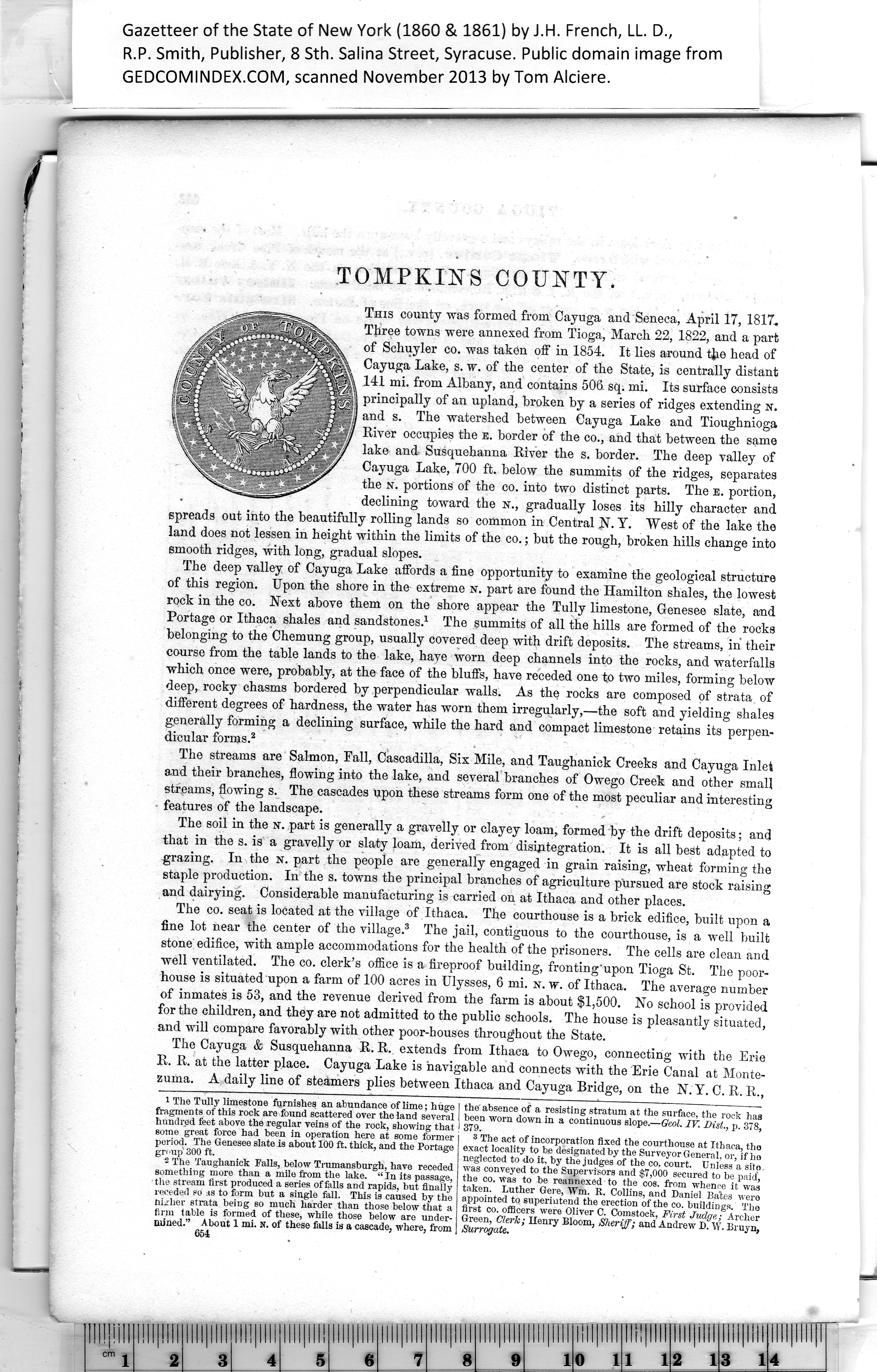
|
This county was formed from Cayuga and Seneca, April 17, 1817.
Three towns were annexed from Tioga, March 22, 1822, and a part
of Schuyler co. was taken off in 1854. It lies around the head of
Cayuga Lake, s. w. of the center of the State, is centrally distant
141 mi. from Albany, and contains 506 sq. mi. Its surface consists
principally of an upland, broken by a series of ridges extending n.
and s. The watershed between Cayuga Lake and Tioughnioga
River occupies the e. border of the co., and that between the same
lake and Susquehanna River the s. border. The deep valley of
Cayuga Lake, 700 ft. below the summits of the ridges, separates
the n. portions of the co. into two distinct parts. The E. portion,
declining toward the N., gradually loses its hilly character and
spreads out into the beautifully rolling lands so common in Central N.Y. West of the lake the
land does not lessen in height within the limits of the co.; but the rough, broken hills change into
smooth ridges, with long, gradual slopes.
The deep valley of Cayuga Lake affords a fine opportunity to examine the geological structure
of this region. Upon the shore in the extreme n. part are found the Hamilton shales, the lowest
rock in the co. Next above them on the shore appear the Tully limestone, Genesee slate, and
Portage or Ithaca shales and sandstones.1 The summits of all the hills are formed of the rocks
belonging to the Chemung group, usually covered deep with drift deposits. The streams, in' their
course from the table lands to the lake, have worn deep channels into the rocks, and waterfalls
which once were, probably, at the face of the bluffs, have receded one to two miles, forming below
deep, rocky chasms bordered by perpendicular walls. As the rocks are composed of strata of
different degrees of hardness, the water has worn them irregularly,—the soft and yielding shales
generally forming a declining surface, while the hard and compact limestone retains its perpen¬
dicular forms.2
The streams are Salmon, Fall, Cascadilla, Six Mile, and Taughanick Creeks and Cayuga Inlet
a,nd their branches, flowing into the lake, and several branches of Owego Creek and other small
streams, flowing s. The cascades upon these streams form one of the most peculiar and interesting
features of the landscape.
The soil in the n. part is generally a gravelly or clayey loam, formed by the drift deposits; and
that in the s. is a gravelly or slaty loam, derived from disintegration. It is all best adapted to
grazing. In the n. part the people are generally engaged in grain raising, wheat forming the
staple production. In the s. towns the principal branches of agriculture pursued are stock raising
and dairying. Considerable manufacturing is carried on at Ithaca and other places.
The co. seat is located at the village of Ithaca. The courthouse is a brick edifice, built upon a
fine lot near the center of the village.3 The jail, contiguous to the courthouse, is a well built
stone edifice, with ample accommodations for the health of the prisoners. The cells are clean and
well ventilated. The co. clerk’s office is a fireproof building, fronting'upon Tioga St. The poor¬
house is situated upon a farm of 100 acres in Ulysses, 6 mi. sr. w. of Ithaca. The average number
of inmates is 53, and the revenue derived from the farm is about $1,500. No school is provided
for the children, and they are not admitted to the public schools. The house is pleasantly situated,
and will compare favorably with other poor-houses throughout the State.
The Cayuga & Susquehanna R. R. extends from Ithaca to Owego, connecting with the Erie
R. R. at the latter place. Cayuga Lake is navigable and connects with the Erie Canal at Monte¬
zuma. A daily line of steamers plies between Ithaca and Cayuga Bridge, on the N. Y. C. R. R.,
8 The act of incorporation fixed the courthouse at Ithaca, tho
exact locality to be designated by the Surveyor General, or, if ho
neglected to do it, by the judges of the co. court. Unless a site -
was conveyed to the Supervisors and $7,000 secured to be paid,
the co. was to be reannexed to the cos. from whence it was
taken. Luther Gere, Wm. R. Collins, and Daniel Bates were
appointed to superintend the erection of the co. buildings. The
first co. officers were Oliver C. Comstock, First Judge-' Archer
Green, Clerk; Henry Bloom, Sheriff; and Andrew' D. W. Bruyn,
Surrogate.
1
The Tully limestone furnishes an abundance of lime; huge I the absence of a resisting stratum at the surface, the rock has
fragments of this rock are found scattered over the land several | been worn down in a continuous slope.—Geol. IV. Dist. p. 378
hundred feet above the regular veins of the rock, showing that I 379. ' ’
some great force had been in operation here at some former
period. The Genesee slate is about 100 ft. thick, and the Portage
gr< >up 300 ft.
2
The Taughanick Falls, below Trumansburgh, have receded
something more than a mile from the lake. “ In its passage,
the stream first produced a series of falls and rapids, but finally
receded so as to form but a single fall. This is caused by the
|