|
SE. of Kingsbridge; a coastguard station is here.
Prawle Point is a craggy headland, flanking the E. side
of entrance to Salcombe Haven, and is the most
southerly part of Devon.
Praze (or Praze en Heebie), vil., in SW. of Corn-
wall, 34 miles SW. of Camborne; P.O.
Preban, par., S. co. Wicklow, on river Derry, 2 miles
SW. of Aughrim, 4265 ac., pop. 433.
Precelly Mountains. See Preseley.
Precipice Walk. See Moel Cynwch.
Preen, Church. See Church Preen.
Prees, par. and vil. with ry. sta., Shropshire—par.
(containing Calverhall, Fauls, and AVhixall eccl. dists.),
13,743 ac., pop. 3068 ; vil., 4| miles S. of AVhitchurch;
P.O., T.O.; in vicinity is Prees Hall, seat.
Preesall with Hackinsall, township, Lancaster
par., N. Lancashire, on river Wyre, opposite Fleetwood,
3393 ac. (431 water) and 4819 foreshore, pop. 848; con-
tains Preesall, vil., 24 miles SE. of Fleetwood; P.O.
Preese, hamlet, Kirkham par., N. Lancashire, 4 miles
NW. of Kirkham; in vicinity is Preese Hall, seat.
See Weeton with Preese.
Preesgweene (or Presgwyn), ry. sta., in NW.
corner of Shropshire, 24 miles N. of Oswestry.
Preeshenlle, vil., AVhittington par., Shropshire, 2
miles NE. of Oswestry.
Prehen, seat, in co. and 2 miles S. of Londonderry.
Premnay, par., E. Aberdeenshire, 5431 ac., pop.
930 ; the church is 2 miles SE. of Insch ry. sta.
Prendergast, par., Pembrokeshire, on N. side of
river Cleddau, mostly in bor. of Haverfordwest, 1104
ac., pop. 1417; P.O.; here are remains of an ancient
mansion, at one time held by the Prendergast family.
Prendwick, township, Alnham par., Northumber-
land, 84 miles NE. of Rothbury, 1414 ac,, pop. 50.
Prenton, township, Woodchurch par., Cheshire, 3
miles SAV. of Birkenhead, 640 ac., pop. 111.
Prescot.—manufacturing and market town, par., and
township with ry. sta., SW. Lancashire—par. (contain-
ing the bor. of St Helens and the town of AVidnes),
37,221 ac., pop. 105,478 ; township, 270 ac., pop. 5546 ;
town, 8 miles E. of Liverpool by rail, pop. 6419; P.O.,
T.O., IBank. Market-days, Tuesday and Saturday. The
town, which comprises all Prescot township and part of
Eccleston township, stands principally upon a sub-
stratum of coal, several mines of which arerworked.
The mfrs. of watch tools, watch movements, and hands,
have long been noted industries of this place. There is
also the mfr. of small files of superior quality, which are
exported in large quantities. Pin-wire drawing origi-
nated here. Coarse earthenware, glass bottles, nails, and
ropes are also manufactured, and there are breweries
and a tannery. In addition to the markets Prescot has
important cattle fairs.—2. Prescot, par., Oxfordshire,
44 miles NE. of Banbury, 535 ac., pop. 31.
Prescott, par., Gloucestershire, 24 miles AV. of Winch-
comb, 430 ac., pop. 60.
Preseley Mountains (or Mynydd Preseley), in NE.
of Pembrokeshire, extending 10 miles NE. to SAV., and
culminating in Preseley Top, or Cwm Cerwyn; alt.
1754 ft.
Presgwyn Station. See Preesgweene.
Preshaw House, seat, 5 miles NE. of Bishops
Waltham sta., Hants.
Preshome, place with R.C. church, Rathven par.,
Banffshire, 3 miles SE. of Port Gordon.
Preshute, par. and vil., Wilts, on river Mennet, 1
mile SW. of Marlborough, 4479 ac., pop. 1837.
Presstnennan, Loch, in par. and near Stenton vil.,
Haddingtonshire; was formed about 1819 by the con-
struction of a dam or breastwork across the ravine in
which it lies.
Presson, hamlet, Carham par., on NW. border of
Northumberland, 12 miles NAV'. of Wooler.
Prcstacott, hamlet, Belstone par., Devon, 2 miles
SE. of Okehampton.
Prestatyn.—small market town with ry. sta., Llanasa
and Meliden pars., Flintshire, 4 miles E. of Rhyl, pop.
654; P.O. Market-day, Saturday. Prestatyn is an
ancient place, and has traces of an old castle built
before time of Henry II. ; the town is situated on the
verge of a level and exceedingly fertile tract of land.
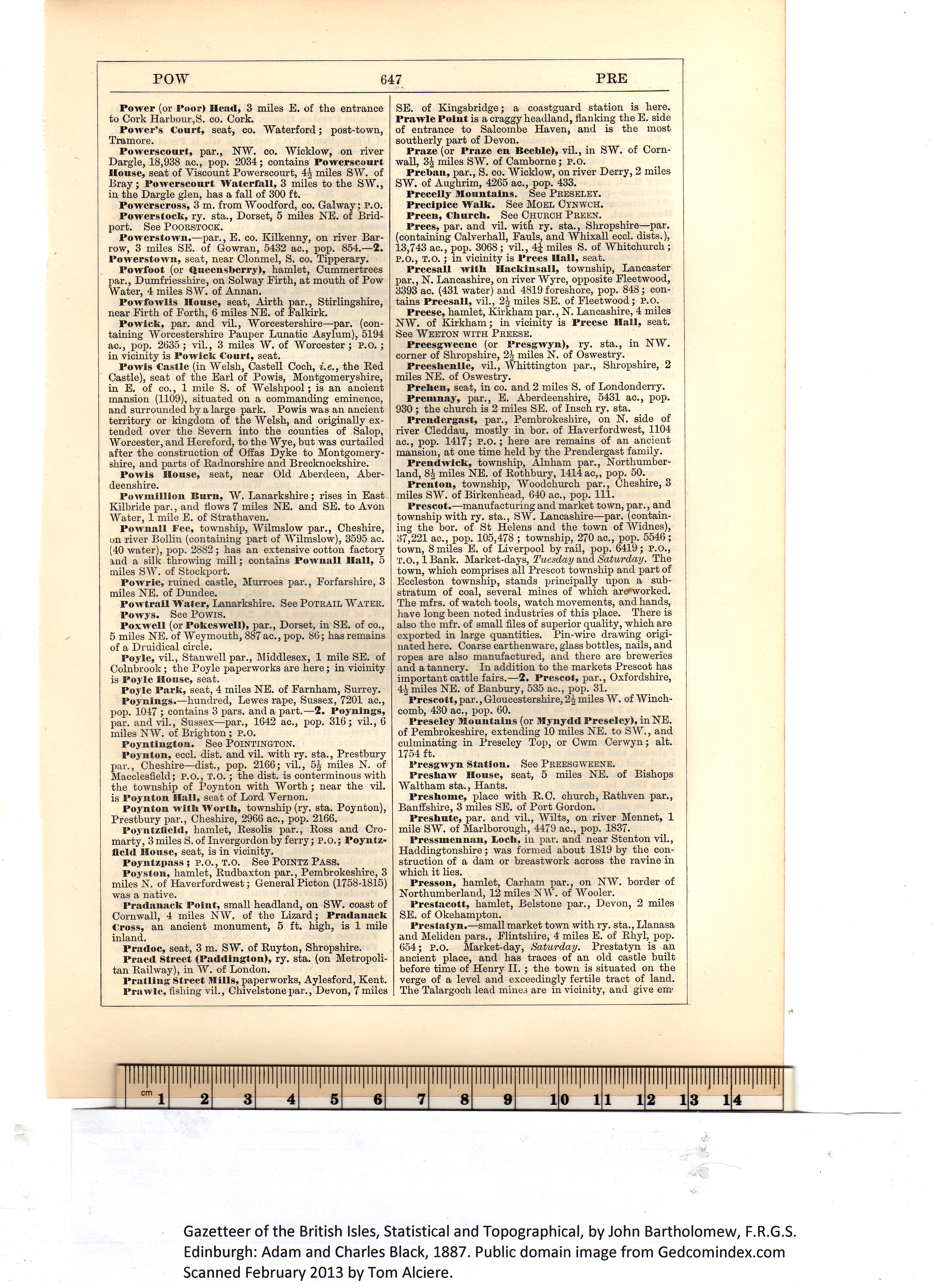
The Talargoch lead mines are in vicinity, and give em- Gazetteer of the British Isles, Statistical and Topographical, by John Bartholomew, F.R.G.S.
Edinburgh: Adam and Charles Black, 1887. Public domain image from Gedcomindex.com
|
Click on the image to get a large bitmap suitable for printing (45 MB) |