Hayward’s New England Gazetteer (1839) page 110
Click on the image to view a larger, bitmap (.bmp) image suitable for printing.

HOME PAGE ... REFERENCE PAGE ... THIS GAZETTEER’S PAGE


Click on the image above for a larger, bitmap image suitable for printing.


NEW ENGLAND GAZETTEER.

Here,

On the 19th of April,

1775,

Was made
The first forcible resistance
To British aggression.

On the opposite Bank,

Stood the American Militia.

Here stood the invading Army,
And on this spot .

The first of the enemy fell
In the War of that Revolution
Which gave
Independence
To these United States.

Ingratitude to God,
p And
In the love of freedom,

This Monument
Was erected
A. D.1836.

The manufactures of Concord j

consist of cotton goods, satinet and
flannel, boots, shoes, hats, ploughs,
lead pipe, chairs and cabinet ware.
The whole value, in one year, ex-
clusive of cotton goods, amounted
to
$156,012.

Concord River.

This river is formed by the union
of Assabet and Sudbury rivers at
Concord : after passing through the
towns of Bedford, Billerica, and
Chelmsford, it falls into the Mer-
rimack between Lowell and Tewks-
bury. This river furnishes the Mid-
dlesex canal with most of its wa-
ters.

Gonnanicut Island.

See Jamestown, R. I.


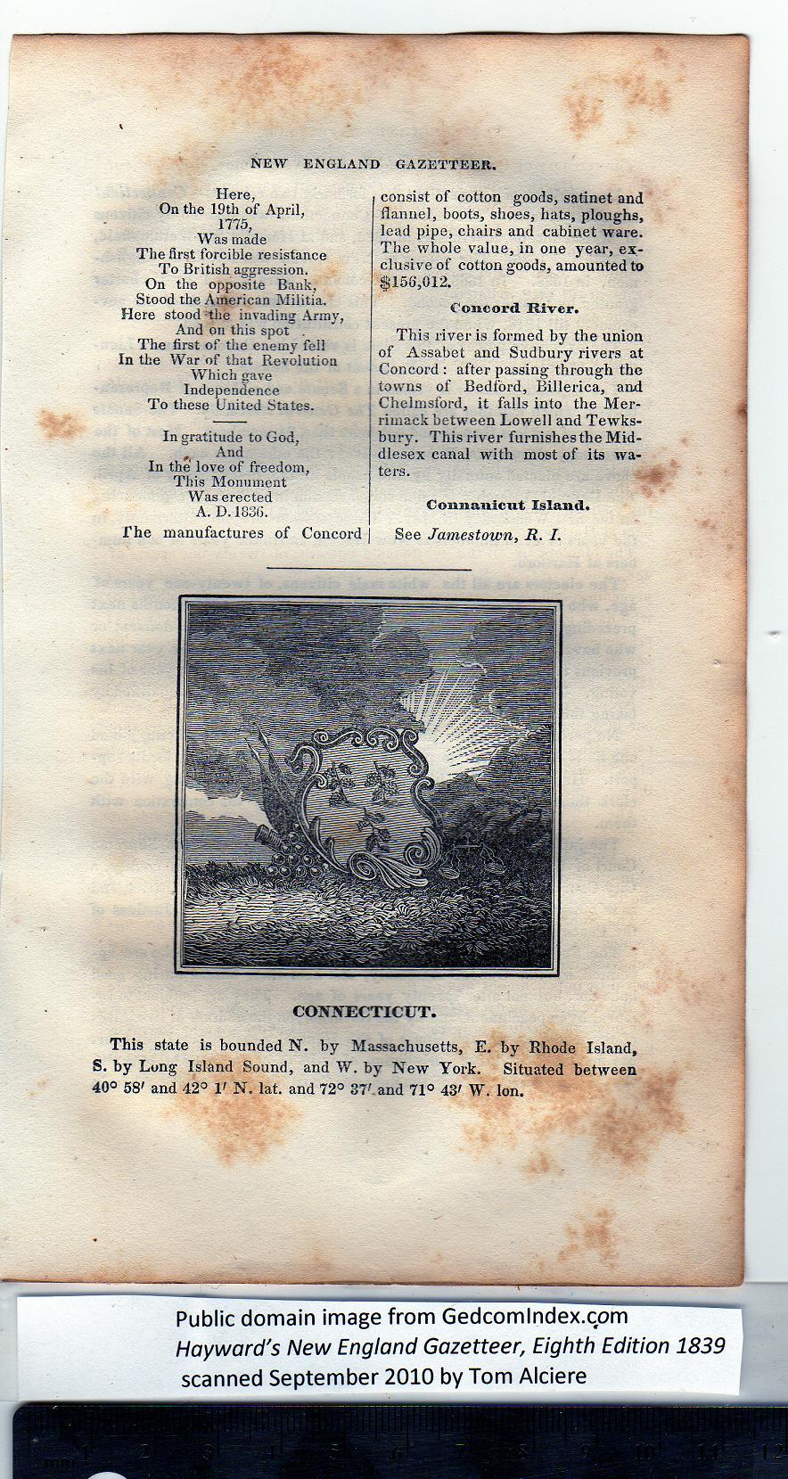
CONNECTICUT.

This state is bounded N. by Massachusetts, E. by Rhode Island,
S. by Long Island Sound, and W. by New York. Situated between
40° 58' and 42° 1' N. lat. and 72° 37' and 71° 43' W. Ion.


PREVIOUS PAGE ... NEXT PAGE

This page was written in HTML using a program written in Python 3.2 and image-to-HTML text generated by ABBYY FineReader 11, Professional Edition.