|
|
Note: Ctrl and + increases the font size of the text below, Ctrl and - decreases it, and Ctrl and 0 resets it to default size.
STATES AND TERRITORIES.— MARYLAND. 69
been cherished with a wise care; and that of religious instruction has encountered no impedi-
ment in an officious legislation, but has been left to its own native energy, and the operation
of the general laws of the land. It has, therefore, by the blessing of God, been in a flourish-
ing state, under the management of different denominations. Of these, Congregationalists,
Baptists, and Methodists are the principal; and there are Episcopalians, and a few churches
of Romanists. They enjoy equal liberty and equal protection.
Under a separate head in this work will be found an account of the colleges, theological
seminaries, academies, and schools; as also the statistics of the agriculture, commerce, manu-
factures, roads, canals, rivers, bays, harbors, cities, towns, and settlements of the state, which
has commenced, and is pursuing, under the divine blessing, its high career of well-earned
prosperity.
Esto perpetuaI
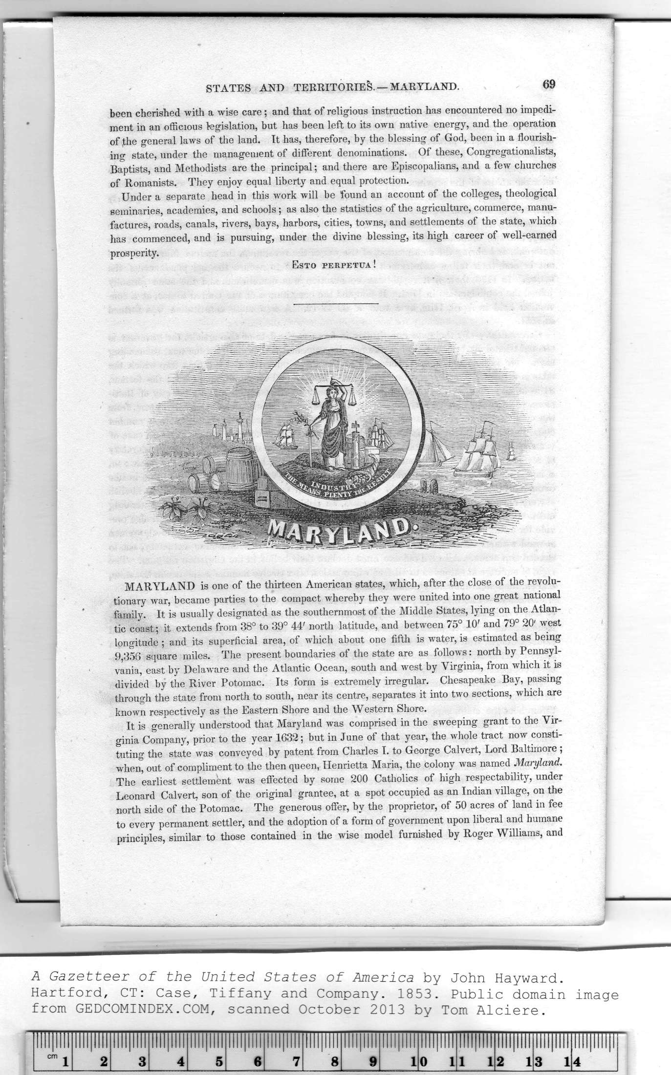
MARYLAND is one of the thirteen American states, which, after the close of the revolu-
tionary war, became parties to the compact whereby they were united into one great national
family. It is usually designated as the southernmost of the Middle States, lying on the Atlan-
tic coast; it extends from 38° to 39° 44' north latitude, and between 75° 10' and 79° 20' west
longitude ; and its superficial area, of which about one fifth is water, is estimated as being
9,356 square miles. The present boundaries of the state are as follows: north by Pennsyl-
vania, east by Delaware and the Atlantic Ocean, south and west by Virginia, from which it is
divided by the River Potomac. Its form is extremely irregular. Chesapeake Bay, passing
through the state from north to south, near its centre, separates it into two sections, which are
known respectively as the Eastern Shore and the Western Shore.
It is generally understood that Maryland was comprised in the sweeping grant to the Vir-
ginia Company, prior to the year 1632; but in June of that year, the whole tract now consti-
tuting the state was conveyed by patent from Charles I. to George Calvert, Lord Baltimore;
when, out of compliment to the then queen, Henrietta Maria, the colony was named Maryland.
The earliest settlement was effected by some 200 Catholics of high respectability, under
Leonard Calvert, son of the original grantee, at a spot occupied as an Indian village, on the
north side of the Potomac. The generous offer, by the proprietor, of 50 acres of land in fee
to every permanent settler, and the adoption of a form of government upon liberal and humane
principles, similar to those contained in the wise model furnished by Roger Williams, and
|
lllllllll |
lllllllll |
llll|llll |
lllllllll |
lllllllll |
lllllllll |
lllllllll |
|
|
lllllllll |
lllllllll |
lllllllll |
lllllllll |
lllllllll |
ll!l|lll!|l |
|
cm j |
2 |
3 |
4 |
5 |
6 |
7 |
8 |
9 |
1 |
0 1 |
1 1 |
2 1 |
3 1 |
4 |
|
