|
|
Note: Ctrl and + increases the font size of the text below, Ctrl and - decreases it, and Ctrl and 0 resets it to default size.
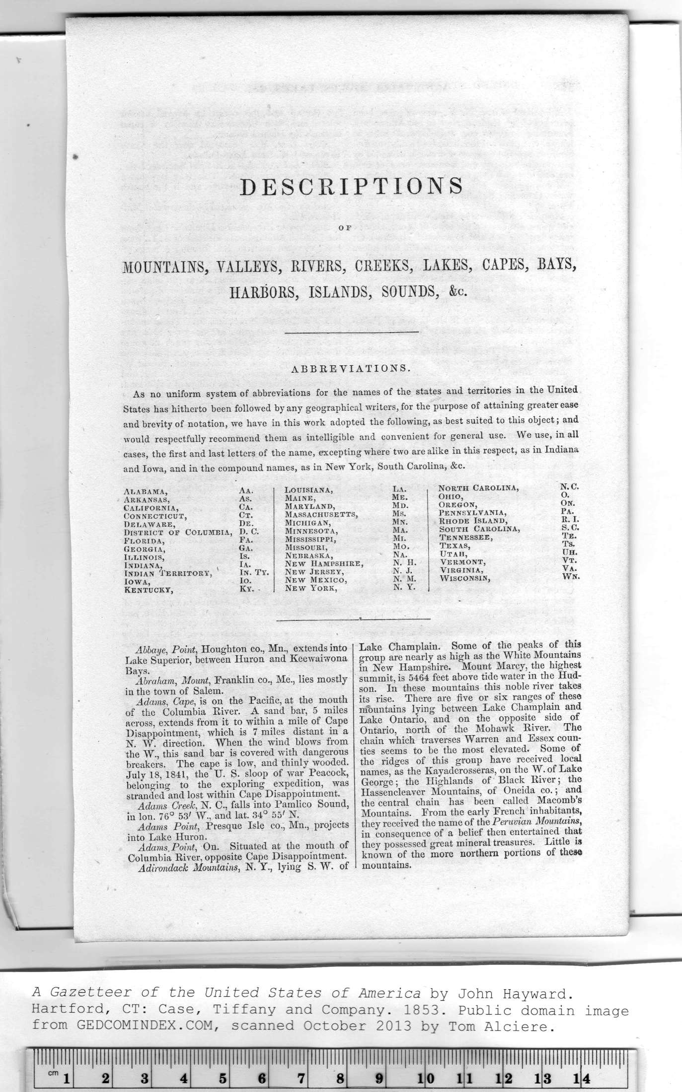
DESCRIPTIONS
O F
MOUNTAINS, VALLEYS, RIVERS, CREEKS, LAKES, CAPES, BAYS,
HARBORS, ISLANDS, SOUNDS, &c.
ABBREVIATIONS.
As no uniform system of abbreviations for the names of the states and territories in the United
States has hitherto been followed by any geographical writers, for the purpose of attaining greater ease
and brevity of notation, we have in this work adopted the following, as best suited to this object; and
would respectfully recommend them as intelligible and convenient for general use. We use, in all
cases, the first and last letters of the name, excepting where two are alike in this respect, as in Indiana
and Iowa, and in the compound names, as in New York, South Carolina, &c.
Alabama,
Arkansas,
California,
Connecticut,
Delaware,
District of Columeia, D. C.
Florida,
Georgia,
Illinois,
Indiana,
Indian Territory,
Iowa,
Kentucky,
|
Aa. |
Louisiana, |
La. |
North Carolina, |
N.C. |
|
As. |
Maine, |
Me. |
Ohio, |
O. |
|
Ca. |
Maryland, |
Md. |
Oregon, |
On. |
|
Ct. |
M ASS ACHUSE TTS, |
Ms. |
Pennsylvania, |
Pa. |
|
De. |
Michigan, |
Mn. |
Rhode Island, |
R. I. |
|
D. C. |
Minnesota, |
Ma. |
South Carolina, |
s.c. |
|
Fa. |
Mississippi, |
Mi. |
Tennessee, |
Te. |
|
Ga. |
Missouri, |
Mo. |
Texas, |
Ts. |
|
Is. |
Nebraska, |
Na. |
Utah, |
Uh. |
|
Ia. |
New Hampshire, |
N. H. |
Vermont, |
Vt. |
|
In. Ty. |
New Jersey, |
N. J. |
Virginia, |
Va. |
|
Io. |
New Mexico, |
N. M. |
Wisconsin, |
Wn. |
|
Ky. - |
New York, |
N. Y. |
|
|
|
Abbaye, Point, Houghton co., Mn., extends into
Lake Superior, between Huron and Keewaiwona
Bays.
Abraham, Mount, Franklin co., Me., lies mostly
in the town of Salem.
Adams, Cape, is on the Pacific, at the mouth
of the Columbia River. A sand bar, 5 miles
across, extends from it to within a mile of Cape
Disappointment, which is 7 miles distant in a
N. W. direction. When the wind blows from
the W., this sand bar is covered with dangerous
breakers. The cape is low, and thinly wooded.
July 18, 1841, the U. S. sloop of war Peacock,
belonging to the exploring expedition, was
stranded and lost within Cape Disappointment.
Adams Creek, N. C., falls into Pamlico Sound,
in Ion. 76° 53; W., and lat. 34° 55' N.
Adams Point, Presque Isle co., Mn., projects
into Lake Huron.
Adams. Point, On. Situated at the mouth of
Columbia River, opposite Cape Disappointment.
Adirondack Mountains, N. Y., lying S. W. of
|
Lake Champlain. Some of the peaks of this
group are nearly as high as the White Mountains
in New Hampshire. Mount Marcy, the highest
summit, is 5464 feet above tide water in the Hud-
son. In these mountains this noble river takes
its rise. There are five or six ranges of these
mountains lying between Lake Champlain and
Lake Ontario, and on the opposite side of
Ontario, north of the Mohawk River. The
chain which traverses Warren and Essex coun-
ties seems to be the most elevated. Some of
the ridges of this group have received local
names, as the Kayaderosseras, on the W. of Lake
George; the Highlands of Black River; the
Hassencleaver Mountains, of Oneida co.; and
the central chain has been called Macomb's
Mountains. From the early French inhabitants,
they received the name of the Peruvian Mountains,
in consequence of a belief then entertained that
they possessed great mineral treasures. Little is
known of the more northern portions of these
mountains. | |
|

