|
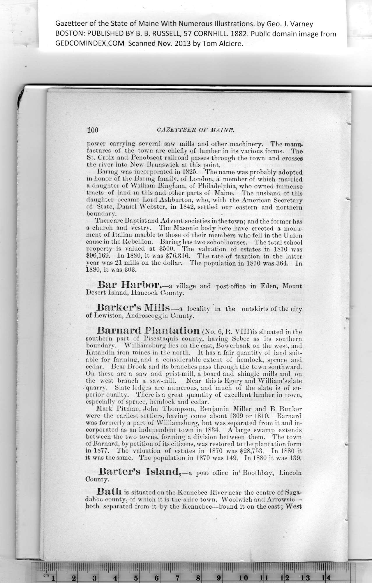
Gazetteer of the State of Maine With Numerous Illustrations, by Geo. J. Varney
BOSTON: PUBLISHED BY B. B. RUSSELL, 57 CORNHILL. 1882. Public domain image from
100 GAZETTEER OF MAINE.
power carrying several saw mills and other machinery. The manu-
factures of the town are chiefly of lumber in its various forms. The
St. Croix and Penobscot railroad passes through the town and crosses
the river into New Brunswick at this point.
Baring was incorporated in 1825. The name was probably adopted
in honor of the Baring family, of London, a member of which married
a daughter of William Bingham, of Philadelphia, who owned immense
tracts of land in this and other parts of Maine. The husband of this
daughter became Lord Ashburton, who, with the American Secretary
of State, Daniel Webster, in 1842, settled our eastern and northern
boundary.
There are Baptist and Advent societies in the town; and the former has
a church and vestry. The Masonic body here have erected a monu-
ment of Italian marble to those of their members who fell in the Union
cause in the Rebellion. Baring has two schoolhouses. The total school
property is valued at $500. The valuation of estates in 1870 was
$96,169. In 1880, it was $76,316. The rate of taxation in the latter
year was 21 mills on the dollar. The population in 1870 was 364. In
1880, it was 303.
Bar Harbor,—a village and post-office in Eden, Mount
Desert Island, Hancock County.
Barker’s Mills,—a locality m the outskirts of the city
of Lewiston, Androscoggin County.
Barnard Plantation (No. 6, r. vm)is situated in the
southern part of Piscataquis county, having Sebec as its southern
boundary. Williamsburg lies on the east, Bowerbank on the west, and
Katahdin iron mines in the north. It has a fair quantity of land suit-
able for farming, and a considerable extent of hemlock, spruce and
cedar. Bear Brook and its branches pass through the town southward.
On these are a saw and grist-mill, a board and shingle mills and on
the west branch a saw-mill. Near this is Egery and William’s slate
quarry. Slate ledges are numerous, and much of the slate is of su-
perior quality. There is a great quantity of excellent lumber in town,
especially of spruce, hemlock and cedar.
Mark Pitman, John Thompson, Benjamin Miller and B. Bunker
were the earliest settlers, having come about 1809 or 1810. Barnard
was formerly a part of Williamsburg, but wrns separated from it and in-
corporated as an independent town in 1834. A large swamp extends
between the two towns, forming a division between them. The town
of Barnard, by petition of its citizens, was restored to the plantation form
in 1877. The valuation of estates in 1870 was $28,753. In 1880 it
it was the same. The population in 1870 was 149. In 1880 it was 139.
Barter’s Island,—a post office in' Boothbay, Lincoln
County.
Bath is situated on the Kennebec River near the centre of Saga-
dahoc county, of which it is the shire town. Woolwich and Arrowsic—
both separated from it by the Kennebec—bound it on the east; West
PREVIOUS PAGE ... NEXT PAGE
This page was written in HTML using a program written in Python 3.2
| 