|
BUXTON.
habitants is principally agricultural. The soil, in general, is a clay loam.
The largest crops are hay and potatoes.
Burnham was formerly called the Twenty-five Mile Pond Planta*
tion. It was incorporated under its present name in 1824.^ Clinton
Gore, on the north-west side, was annexed in 1873. Among its valued
citizens have been Dennis and Elias Milliken, Ephraim Hatch, and
others.
Burnham has two churches, belonging to the Free Baptists and the
Methodists. The town has ten public schoolhouses, and the ^ total
school property is valued at $3,000. The estates in the valuation of
1870 amounted to $175,007. In 1880 the amount was $204,248. The
rate of taxation in the latter year was 2 per cent. The population
in 1870 was 788. In 1880 it was 967.
Buxton is the most north-eastern portion of York County,
having Gorham on its own north-east, Scarborough and Saco on the
south-east, Dayton on the south, Hollis on the west, and Standish on
the north-west. The town contains about 16,224 acres of land.
Round Hill is the principal eminence in town. The surface is gen-
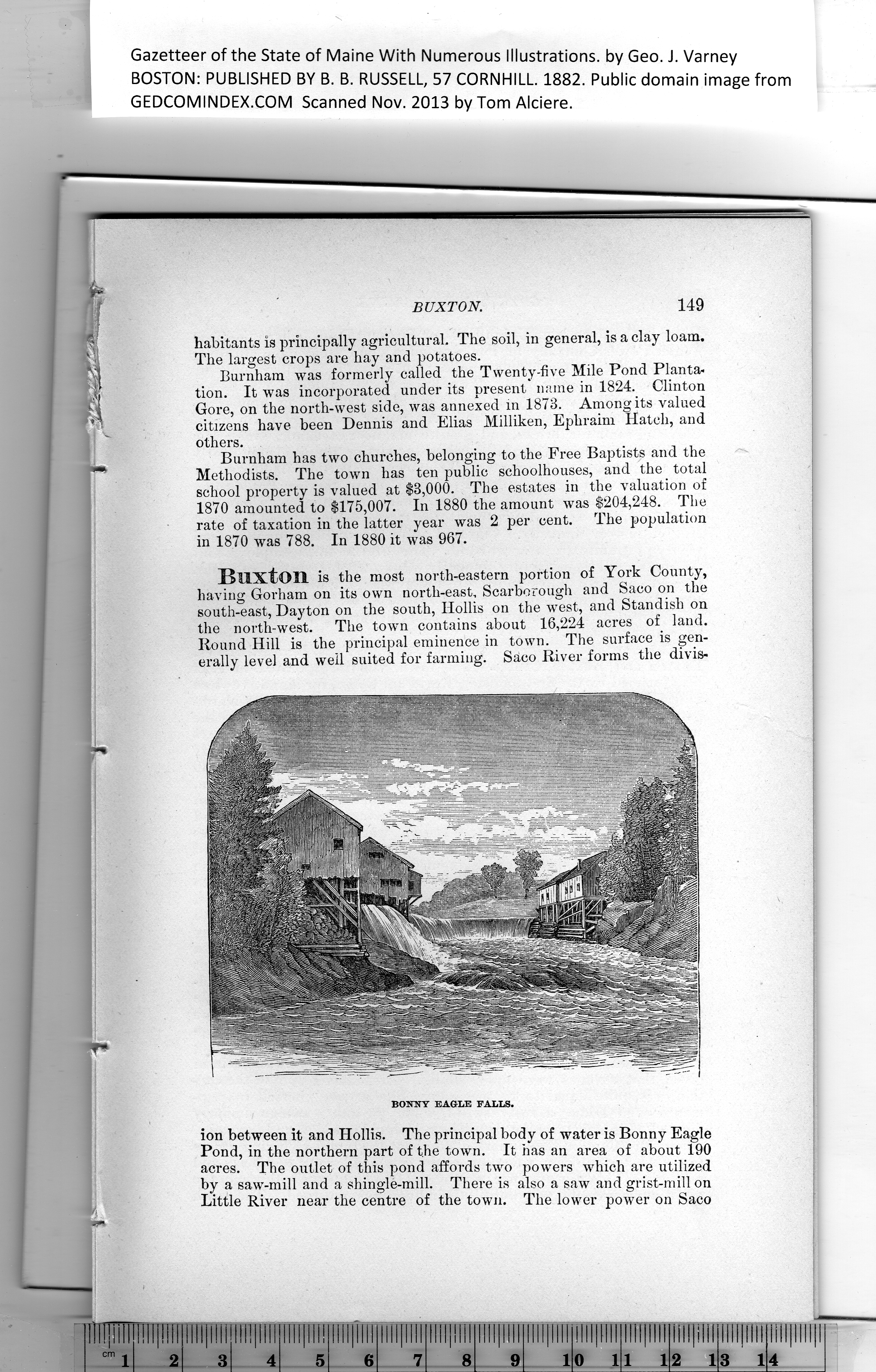
erally level and well suited for farming. Saco River forms the divis-
ion between it and Hollis. The principal body of water is Bonny Eagle
Pond, in the northern part of the town. It has an area of about 190
acres. The outlet of this pond affords two powers which are utilized
by a saw-mill and a shingle-mill. There is also a saw and grist-mill on
Little River near the centre of the town. The lower power on Saco
PREVIOUS PAGE ... NEXT PAGE
This page was written in HTML using a program written in Python 3.2
|