|
Gazetteer of the State of Maine With Numerous Illustrations, by Geo. J. Varney
BOSTON: PUBLISHED BY B. B. RUSSELL, 57 CORNHILL. 1882. Public domain image from
GAZETTEER OF MAINE.
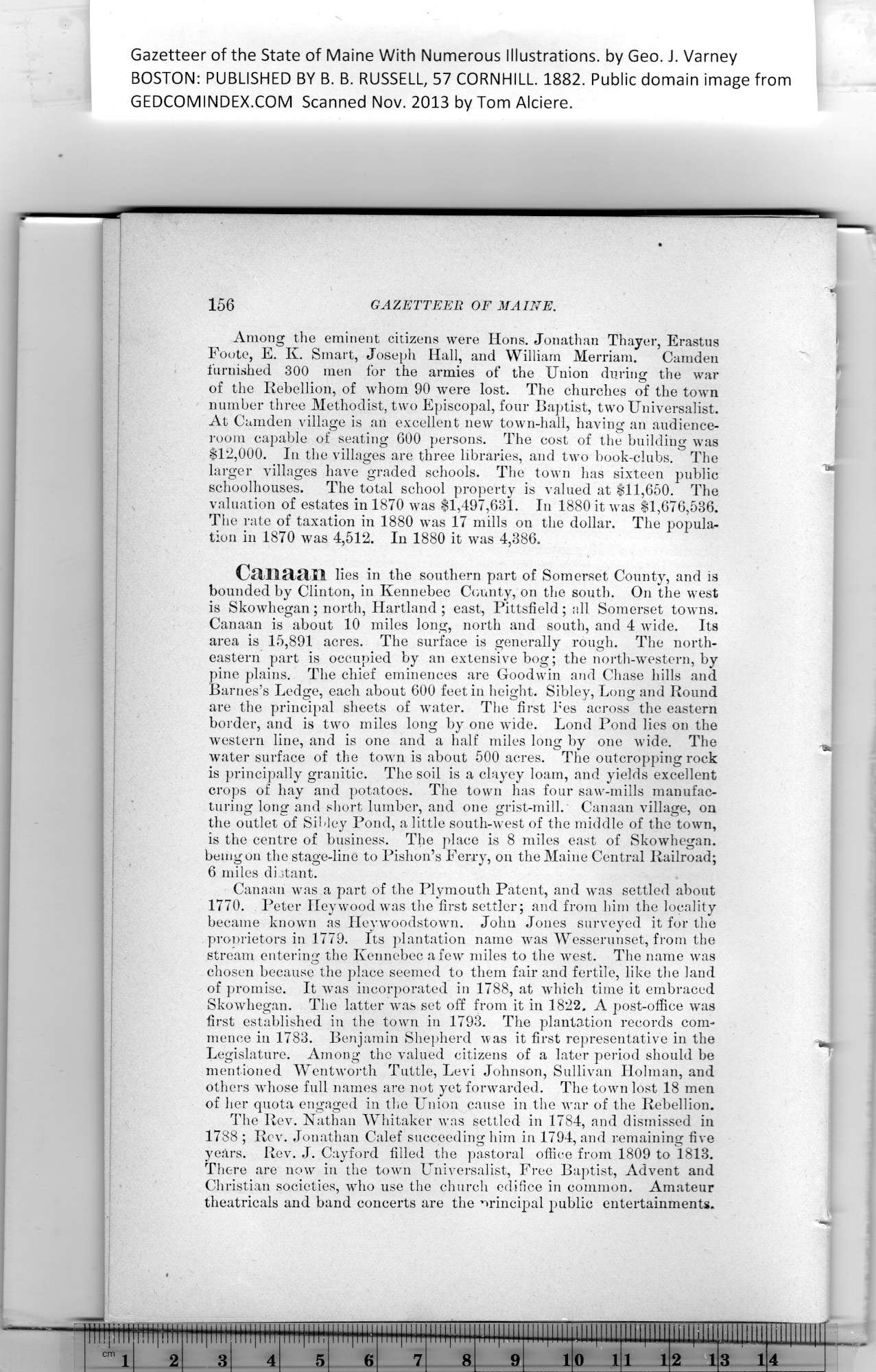
Among the eminent citizens were Hons. Jonathan Thayer, Erastus
Foote, E. K. Smart, Joseph Hall, and William Merriam. Camden
furnished 300 men for the armies of the Union during the war
of the Rebellion, of whom 90 were lost. The churches of the town
number three Methodist, two Episcopal, four Baptist, two Universalist.
At Camden village is an excellent new town-hall, having an audience-
room capable of seating 600 persons. The cost of the building was
$12,000. In the villages are three libraries, and two book-clubs. The
larger villages have graded schools. The town lias sixteen public
schoolhouses. The total school property is valued at $11,650. The
valuation of estates in 1870 was $1,497,631. In 1880 it was $1,676,536.
The rate of taxation in 1880 was 17 mills on the dollar. The popula-
tion in 1870 was 4,512. In 1880 it was 4,386.
Canaan lies in the southern part of Somerset County, and is
bounded by Clinton, in Kennebec County, on the south. On the west
is Skowhegan; north, Hartland ; east, Pittsfield; all Somerset towns.
Canaan is about 10 miles long, north and south, and 4 wide. Its
area is 15,891 acres. The surface is generally rough. The north-
eastern part is occupied by an extensive bog; the north-western, by
pine plains. The chief eminences are Goodwin and Chase hills and
Barnes’s Ledge, each about 600 feet in height. Sibley, Long and Round
are the principal sheets of water. The first bes across the eastern
border, and is two miles long by one wide. Lond Pond lies on the
western line, and is one and a half miles long by one wide. The
water surface of the town is about 500 acres. The outcropping rock
is principally granitic. The soil is a clayey loam, and yields excellent
crops of hay and potatoes. The town has four saw-mills manufac-
turing long and short lumber, and one grist-mill. Canaan village, on
the outlet of Sibley Pond, a little south-west of the middle of the town,
is the centre of business. The place is 8 miles east of Skowhegan.
being on the stage-line to Pishon’s Ferry, on the Maine Central Railroad;
6 miles distant.
Canaan was a part of the Plymouth Patent, and was settled about
1770. Peter Hey wood was the first settler; and from him the locality
became known as Heywoodstown. John Jones surveyed it for the
proprietors in 1779. Its plantation name was Wesserunset, from the
stream entering the Kennebec a few miles to the west. The name was
chosen because the place seemed to them fair and fertile, like the land
of promise. It was incorporated in 1788, at which time it embraced
Skowhegan. The latter was set off from it in 1822. A post-office was
first established in the town in 1793. The plantation records com-
mence in 1783. Benjamin Shepherd was it first representative in the
Legislature. Among the valued citizens of a later period should be
mentioned Wentworth Tuttle, Levi Johnson, Sullivan Holman, and
others whose full names are not yet forwarded. The town lost 18 men
of her quota engaged in the Union cause in the war of the Rebellion.
The Rev. Nathan Whitaker was settled in 1784, and dismissed in
1788 ; Rev. Jonathan Calef succeeding him in 1794, and remaining five
years. Rev. J. Cayford filled the pastoral office from 1809 to 1813.
There are now in the town Universalist, Free Baptist, Advent and
Christian societies, who use the church edifice in common. Amateur
theatricals and band concerts are the principal public entertainments.
iiipM
29*1
PREVIOUS PAGE ... NEXT PAGE
This page was written in HTML using a program written in Python 3.2
|
