|
Gazetteer of the State of Maine With Numerous Illustrations, by Geo. J. Varney
BOSTON: PUBLISHED BY B. B. RUSSELL, 57 CORNHILL. 1882. Public domain image from
LTMAN.
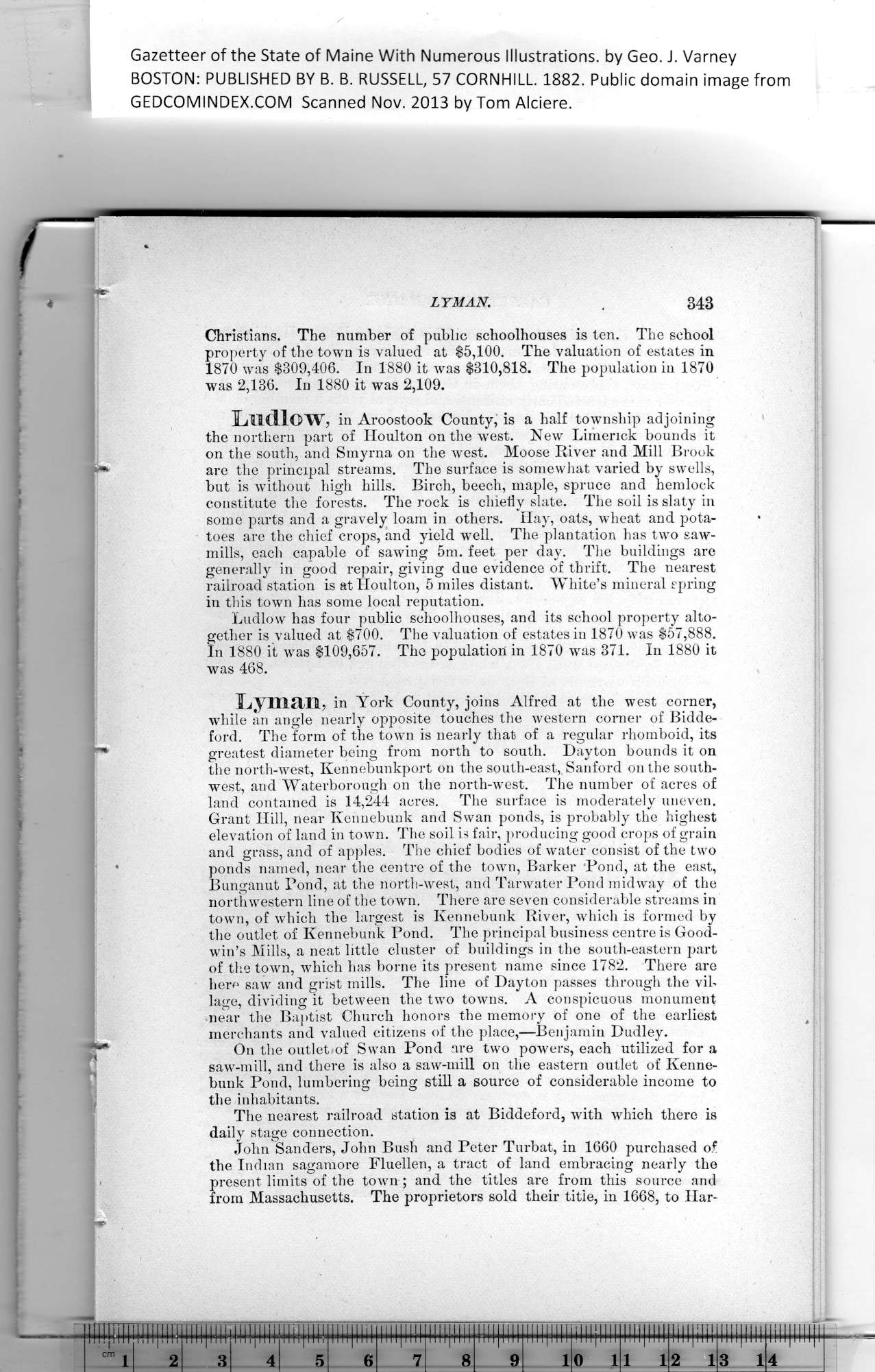
Christians. The number of public schoolhouses is ten. The school
property of the town is valued at $5,100. The valuation of estates in
1870 was $309,406. In 1880 it was $310,818. The population in 1870
was 2,136. In 1880 it was 2,109.
Ludlow, in Aroostook County, is a half township adjoining
the northern part of Houlton on the wTest. New Limerick bounds it
on the south, and Smyrna on the west. Moose River and Mill Brook
are the principal streams. The surface is somewhat varied by swells,
but is without high hills. Birch, beech, maple, spruce and hemlock
constitute the forests. The rock is chiefly slate. The soil is slaty in
some parts and a gravely loam in others. Hay, oats, wheat and pota-
toes are the chief crops, and yield well. The plantation has two saw-
mills, each capable of sawing 5m. feet per day. The buildings are
generally in good repair, giving due evidence of thrift. The nearest
railroad station is at Houlton, 5 miles distant. White’s mineral spring
in this town has some local reputation.
Ludlow has four public schoolhouses, and its school property alto-
gether is valued at $700. The valuation of estates in 1870 was $57,888.
In 1880 it was $109,657. The population in 1870 was 371. In 1880 it
was 468.
Lyman, in York County, joins Alfred at the west corner,
while an angle nearly opposite touches the western corner of Bidde-
ford. The form of the town is nearly that of a regular rhomboid, its
greatest diameter being from north to south. Dayton bounds it on
the north-west, Kennebunkport on the south-east,. Sanford on the south-
west, and Waterborough on the north-west. The number of acres of
land contained is 14,244 acres. The surface is moderately uneven.
Grant Hill, near Kennebunk and Swan ponds, is probably the highest
elevation of land in town. The soil is fair, producing good crops of grain
and grass, and of apples. The chief bodies of water consist of the two
ponds named, near the centre of the town, Barker Pond, at the east,
Bunganut Poud, at the north-west, and Tarwater Pond midway of the
northwestern line of the town. There are seven considerable streams in
town, of which the largest is Kennebunk River, which is formed by
the outlet of Kennebunk Pond. The principal business centre is Good-
win’s Mills, a neat little cluster of buildings in the south-eastern part
of the town, which has borne its present name since 1782. There are
hem saw and grist mills. The line of Dayton passes through the vil-
lage, dividing it between the two towns. A conspicuous monument
near the Baptist Church honors the memory of one of the earliest
merchants and valued citizens of the place,—Benjamin Dudley.
On the outlet of Swan Pond are two powers, each utilized for a
saw-mill, and there is also a saw-mill on the eastern outlet of Kenne-
bunk Pond, lumbering being still a source of considerable income to
the inhabitants.
The nearest railroad station is at Biddeford, with which there is
daily stage connection.
John Sanders, John Bush and Peter Turbat, in 1660 purchased of
the Indian sagamore Fluellen, a tract of land embracing nearly the
present limits of the town ; and the titles are from this source and
from Massachusetts. The proprietors sold their title, in 1668, to Har-
|
1 llllill |
llljllllj |
liimm |
IHilllll |
MM |
|
llllllili |
llllllili |
lllllllll |
lllllllll |
ffefilllt |
lllllllll |
lifllilii |
Lllllllll 1 |
mnmm |
|
cm j |
2 |
TI'TtpUTT
3 |
4 |
5 |
6 |
7 |
Trrrprrrr
8 |
9 |
1 |
0 1 |
l l |
2 1 |
3 1 |
4 |
PREVIOUS PAGE ... NEXT PAGE
This page was written in HTML using a program written in Python 3.2
|
