Click on the image to view a larger, bitmap (.bmp) image suitable for printing. HOME PAGE ... REFERENCE PAGE ... THIS GAZETTEER’S PAGE |

Click on the image above for a larger, bitmap image suitable for printing.
|
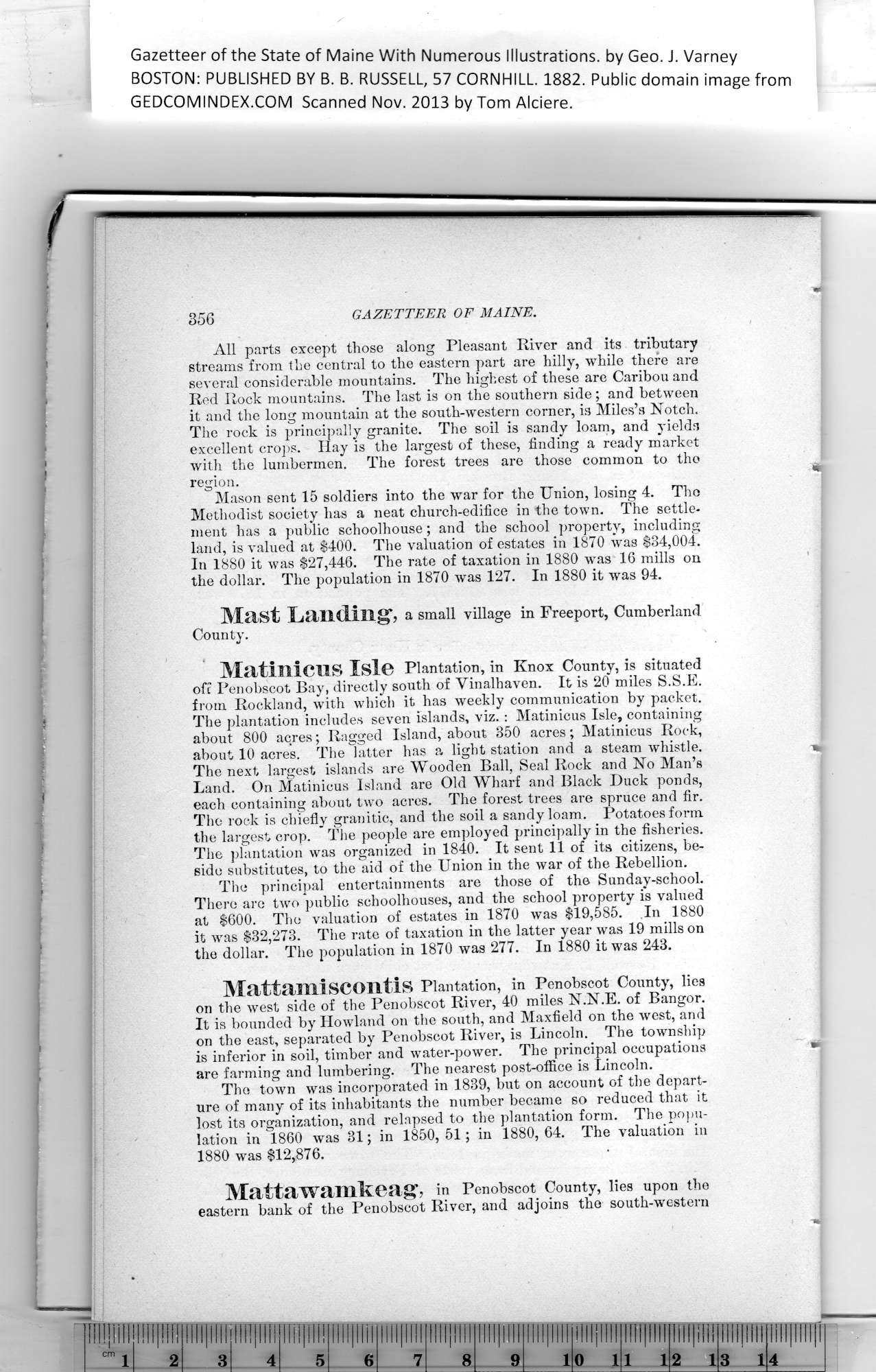
Gazetteer of the State of Maine With Numerous Illustrations, by Geo. J. Varney BOSTON. PUBLISHED BY B. B. RUSSELL, 57 CORNHILL. 1882. Public domain image from 356 GAZETTEER OF MAINE. All parts except those along Pleasant River and its tributary The rock is principally granite. The soil is sandy loam, and yields Mason sent 15 soldiers into the war for the Union, losing 4. Tho In 1880 it was $27,446. The rate of taxation in 1880 was 16 mills on Mast Landing, a small village in Freeport, Cumberland. County. Matinicns Isle Plantation, in Knox County, is situated The plantation includes seven islands, viz. : Matinicus Isle, containing about 800 acres; Ragged Island, about 350 acres; Matinicus Rock, about 10 acre's. The latter has a light station and a steam whistle. * The next largest islands are Wooden Ball, Seal Rock and No Man’s Land. On Matinicus Island are Old Wharf and Black Duck ponds, each containing about two acres. The forest trees are spruce and fir. The rock is chiefly granitic, and the soil a sandy loam. Potatoes form The plantation was organized in 1840. It sent 11 of its citizens, be- The principal entertainments are those of the Sunday-school. There are two ‘public schoolhouses, and the school property is valued Mattanii scontls Plantation, in Penobscot County, lies It is bounded by Howland on the south, and Maxfield on the west, and are farming and lumbering. The nearest post-office is Lincoln. The town was incorporated in 1839, but on account of the depart- Mattawamkeag, in Penobscot County, lies upon the PREVIOUS PAGE ... NEXT PAGE This page was written in HTML using a program written in Python 3.2 |