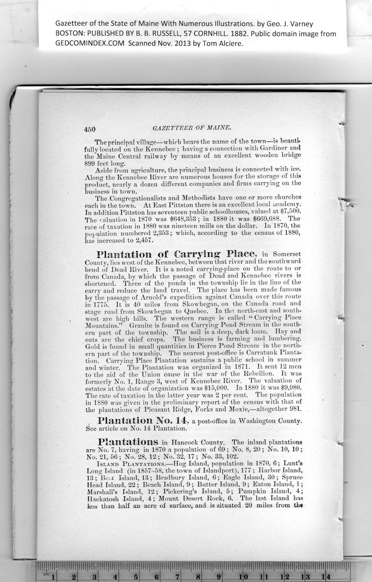
Gazetteer of the State of Maine, 1882 page 450
Click on the image to view a larger, bitmap (.bmp) image suitable for printing.

HOME PAGE ... REFERENCE PAGE ... THIS GAZETTEER’S PAGE


Click on the image above for a larger, bitmap image suitable for printing.


Gazetteer of the State of Maine With Numerous Illustrations, by Geo. J. Varney

BOSTON: PUBLISHED BY B. B. RUSSELL, 57 CORNHILL. 1882. Public domain image from

450    GAZETTEER    OF    MAINE.

The principal village—which bears the name of the town—is beauti*
fully located on the Kennebec ; having a connection with Gardiner and
the Maine Central railway by means of an excellent wooden bridge
899 feet long.

Aside from agriculture, the principal business is connected with ice.

Along the Kennebec River are numerous houses for the storage of this
product, nearly a dozen different companies and firms carrying on the
business in town.

The Congregationalists and Methodists have one or more churches
each in the town. At East Pittston there is an excellent local academy.

In addition Pittston has seventeen public schoolhouses, valued at $7,500.

The valuation in 1870 was $648,353 ; in 1880 it was $669,688. The
rale of taxation in 1880 was nineteen mills on the dollar. In 1870, the
population numbered 2,353; which, according to the census of 1880,
has increased to 2,457.

Plantation of Carrying* Place, in Somerset

County, lies west of the Kennebec, between that river and the southward
bend of Dead River. It is a noted carrying-place on the route to or
from Canada, by which the passage of Dead and Kennebec rivers is
shortened. Three of the ponds in the township lie in the line of the
carry and reduce the land travel. The place has been made famous
by the passage of Arnold’s expedition against Canada over this route
in 1775. It is 40 miles from Skowhegan, on the Canada road and
stage road from Skowhegan to Quebec. In the north-east and south-
west are high hills. The western range is called “ Carrying Place    
^

Mountains.” Granite is found on Carrying Pond Stream in tlie south-
ern part of the township. The soil is a deep, dark loam. Hay and
oats are the chief crops. The business is farming and lumbering.

Gold is found in small quantities in Pierce Pond Stream in the north-
ern part of the township. The nearest post-office is Carratunk Planta-
tion. Carrying Place Plantation sustains a public school in summer
and winter. The Plantation was organized in 1871. It sent 12 men
to the aid of the Union cause in the war of the Rebellion. It was
formerly No. 1, Range 3, west of Kennebec River. The valuation of
estates at the date of organization was $15,000. In 1880 it was $9,980.

The rate of taxation in the latter year was 2 per cent. The population
in 1880 was given in the preliminary report of the census with that of
the plantations of Pleasant Ridge, Forks and Moxie,—altogether 981.

Plantation No. 14, a post-office in Washington County.

See article on No. 14 Plantation.

Plantations in Hancock County. The inland plantations    ^

are No. 7, having in 1870 a population of 69 ; No. 8, 20 ; No. 10, 10;

No. 21, 56 ; No. 28, 12 ; No. 32, 17 ; No. 33, 102.

Island Plantations.—Hog Island, population in 1870, 6; hunt’s
Long Island (in 1857-58, the town of Islandport), 177 ; Harbor Island,

13; Bear Island, 13 ; Bradbury Island, 6; Eagle Island, 30; Spruce
Head Island, 22 ; Beach Island, 9 ; Butter Island, 9; Eaton Island, 1;

Marshall’s Island, 12; Pickering’s Island, 5; Pumpkin Island, 4;

Hackatosh Island, 4; Mount Desert Rock, 6. The last Island has
less than half an acre of surface, and is situated 20 miles from th*


PREVIOUS PAGE ... NEXT PAGE

This page was written in HTML using a program written in Python 3.2