|
Gazetteer of the State of Maine With Numerous Illustrations, by Geo. J. Varney
BOSTON: PUBLISHED BY B. B. RUSSELL, 57 CORNHILL. 1882. Public domain image from
544 GAZETTEER OF MAINE.
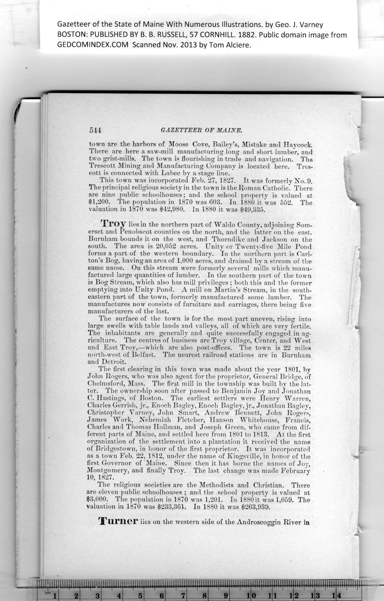
town are the harbors of Moose Cove, Bailey’s, Mistake and Haycock.
There are here a saw-mill manufacturing long and short lumber, and
two grist-mills. The town is flourishing in trade and navigation. Tha
Trescott Mining and Manufacturing Company is located here. Tres-
eott is connected with Lubec by a stage line.
This town was incorporated Feb. 27, 1827. It was formerly No. 9.
The principal religious society in the town is the Roman Catholic. There
are nine public schoolhouses; and the school property is valued at
$1,200. The population in 1870 was 603. In 1880 it was 552. The
valuation in 1870 was $42,980. In 1880 it was $49,335.
Troy lies in the northern part of Waldo County, adjoining Som-
erset and Penobscot counties on the north, and the latter on the east.
Burnham bounds it on the west, and Thorndike and Jackson on the
south. The area is 20,052 acres. Unity or Twenty-five Mile Pond
forms a part of the western boundary. In the northern part is Carl-
ton’s Bog, having an area of 1,000 acres, and drained by a stream of the
same name. On this stream were formerly several mills which manu-
factured large quantities of lumber. In the southern part of the town
is Bog Stream, which also has mill privileges ; both this and the former
emptying into Unity Pond. A mill on Martin’s Stream, in the south-
eastern part of the town, formerly manufactured some lumber. The
manufactures now consists of furniture and carriages, there being five
manufacturers of the last.
The surface of the town is for the most part uneven, rising into
large swells with table lands and valleys, all of which are very fertile. &•
The inhabitants are generally and quite successfully engaged in ag-
riculture. The centres of business are Troy village, Center, and West
and East Troy,—which are also post-olfices. The town is 22 miles
north-west of Belfast. The nearest railroad stations are in Burnham
and Detroit.
The first clearing in this town was made about the year 1801, by
John Rogers, who was also agent for the proprietor, General Bridge, of
Chelmsford, Mass. The first mill in the township was built hy the lat-
ter. The ownership soon after passed to Benjamin Joy and Jonathan
C. Hastings, of Boston. The earliest settlers were Henry Warren,
Charles Gerrish, jr., Enoch Bagley, Enoch Bagley, jr., Jonathan Bagley,
Christopher Varney, John Smart, Andrew Bennett, John Rogers,
James Work, Nehemiah Fletcher, Hanson Whitehouse, Francis,
Charles and Thomas Hollman, and Joseph Green, who came from dif-
ferent parts of Maine, and settled here from 1801 to 1813. At the first
organization of the settlement into a plantation it received the name
of Bridgestown, in honor of the first proprietor. It was incorporated
as a town Feb. 22, 1812, under the name of Kingsville, in honor of the ">
first Governor of Maine. Since then it has borne the names of Joy,
Montgomery, and finallv Troy. The last change was made February
10, 1827.
The religious societies are the Methodists and Christian. There
are eleven public schoolhouses ; and the school property is valued at
$3,000. The population in 1870 was 1,201. In 1880 it was 1,059. The
valuation in 1870 was $233,361. In 1880 it was $263,939.
Turner lies on the western side of the Androscoggin River in
PREVIOUS PAGE ... NEXT PAGE
This page was written in HTML using a program written in Python 3.2
| 