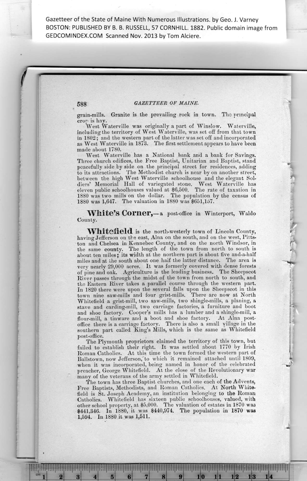
Gazetteer of the State of Maine, 1882 page 588
Click on the image to view a larger, bitmap (.bmp) image suitable for printing.

HOME PAGE ... REFERENCE PAGE ... THIS GAZETTEER’S PAGE


Click on the image above for a larger, bitmap image suitable for printing.


Gazetteer of the State of Maine With Numerous Illustrations, by Geo. J. Varney

BOSTON: PUBLISHED BY B. B. RUSSELL, 57 CORNHILL. 1882. Public domain image from

588    GAZETTEER    OF MAINE.    ^

grain-mills. Granite is the prevailing rock in town. Tho principal
crop is hay.

West Waterville was originally a part of Winslow. Waterville,
including the territory of West Waterville, was set off from that town
in 1802; and the Avestern part of the latter was set off and incorporated
as West Waterville in 1873. The first settlement appears to have been
made about 1780.

West Waterville has a National bank and a bank for Savings.

Three church edifices, the Free Baptist, Unitarian and Baptist, stand    ^

peacefully side by side on the principal street for residences, adding    :

to its attractions. The Methodist church is near by on another street,

between the high West Waterville schoolhouse and the elegant Sol-

diers’ Memorial Hall of variegated stone. West Waterville has

eleven public schoolhouses valued at $6,500. The rate of taxation in

1880 was two mills on the dollar. The population by the census of

1880 was 1,647. The valuation in 1880 Avas $651,157.

White’s Corner,—a post-office in Winterport, Waldo
County.

Whitefield is the north-westerly toAvn of Lincoln County,    r

having Jefferson on the east, Aina on the south, and on the Avest, Pitts-
ton and Chelsea in Kennebec County, and on the north Windsor, in    
ft

the same county. The length of the toAvn from north to south is    r

about ten miles; its width at the northern part is about five and-a-half
miles and at the south about one half the latter distance. The area is
very nearly 29,000 acres. It Avas formerly covered with dense forests
of pine and oak. Agriculture is the leading business. The Sheepscot
River passes through the midst of the town from north to south, and
the Eastern River takes a parallel course through the Avestern part.

In 1820 there were upon the several falls upon the Sheepscot in this
toAvn nine saw-mills and four grist-mills. There are now at North
Whitefield a grist-mill, two saA\T-mills, two shingle-mills, a planing, a
stave and carding-mill, two carriage factories, a furniture and boot
and shoe factory. Cooper’s mills has a lumber and a shingle-mill, a
flour-mill, a tinware and a boot and shoe factory. At Aina post-
office there is a carriage factory. There is also a small village in the
southern part called King’s Mills, which is the same as Whitefield
post-office.

Pa


The Plymouth proprietors claimed the territory of this town, but
failed to establish their right. It Avas settled ahout 1770 by Irish
Roman Catholics. At this time the toAvn formed the Avestern part of
Ballstovvn, now Jefferson, to Avhich it remained attached until 1809,
when it was incorporated, being named in honor of the celebrated
preacher, George Whitefield. At the close of the Revolutionary war
many of the veterans of the army settled in Whitefield.

The toAvn has three Baptist churches, and one each of the Advents,

Free Baptists, Methodists, and Roman Catholics. At North White-
field is St. Joseph Academy, an institution belonging to the Roman
Catholics. Whitefield has sixteen public schoolhouses, valued, with
other school property, at $5,000. The valuation of estates in 1870 was
$441,346. In 1880, it was $440,974. The population in 1870 was
1,594. In 1880 it was 1,511.


PREVIOUS PAGE ... NEXT PAGE

This page was written in HTML using a program written in Python 3.2