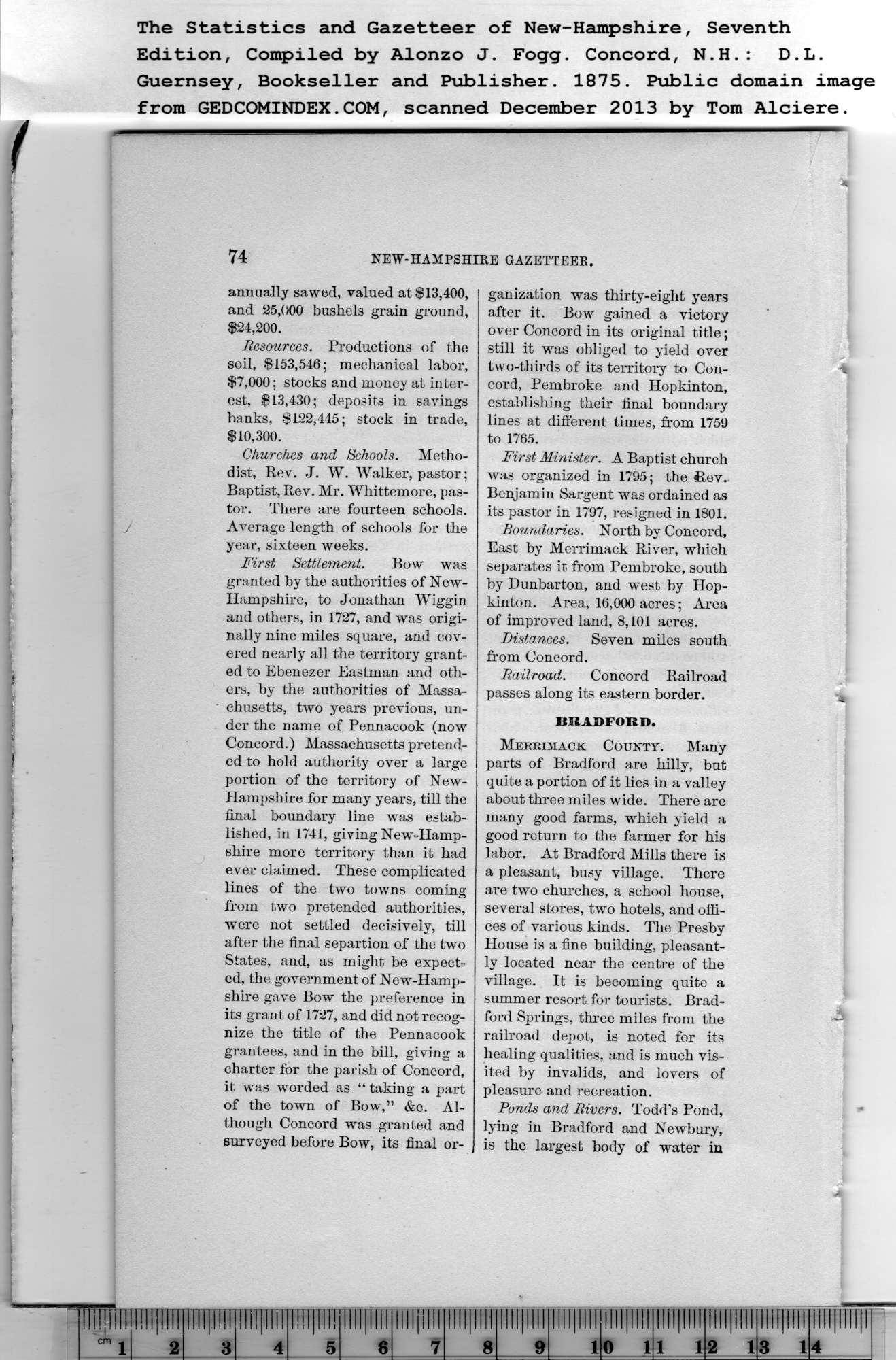
|
74
The Statistics and Gazetteer of New-Hampshire, Seventh
Edition, Compiled by Alonzo J. Fogg. Concord, N.H.: D.L.
annually sawed, valued at $13,400,
and 25,000 bushels grain ground,
$24,200.
Resources. Productions of the
soil, $153,546; mechanical labor,
$7,000; stocks and money at inter-
est, $13,430; deposits in savings
banks, $122,445; stock in trade,
$10,300.
Churches and Schools. Metho-
dist, Rev. J. W. Walker, pastor;
Baptist, Rev. Mr. Whittemore, pas-
tor. There are fourteen schools.
Average length of schools for the
year, sixteen weeks.
First Settlement. Bow was
granted by the authorities of New-
Hampshire, to Jonathan Wiggin
and others, in 1727, and was origi-
nally nine miles square, and cov-
ered nearly all the territory grant-
ed to Ebenezer Eastman and oth-
ers, by the authorities of Massa-
chusetts, two years previous, un-
der the name of Pennacook (now
Concord.) Massachusetts pretend-
ed to hold authority over a large
portion of the territory of New-
Hampshire for many years, till the
final boundary line was estab-
lished, in 1741, giving New-Hamp-
shire more territory than it had
ever claimed. These complicated
lines of the two towns coming
from two pretended authorities,
were not settled decisively, till
after the final separtion of the two
States, and, as might be expect-
ed, the government of New-Hamp-
shire gave Bow the preference in
its grant of 1727, and did not recog-
nize the title of the Pennacook
grantees, and in the bill, giving a
charter for the parish of Concord,
it was worded as “ taking a part
of the town of Bow,” &c. Al-
though Concord was granted and
surveyed before Bow, its final or-
ganization was thirty-eight years
after it. Bow gained a victory
over Concord in its original title;
still it was obliged to yield over
two-thirds of its territory to Con-
cord, Pembroke and Hopkinton,
establishing their final boundary
lines at different times, from 1759
to 1765. |
First Minister. A Baptist church
was organized in 1795; the Rev.
Benjamin Sargent was ordained as
its pastor in 1797, resigned in 1801.
Boundaries. North by Concord,
East by Merrimack River, which
separates it from Pembroke, south
by Dunbarton, and west by Hop-
kinton. Area, 16,000 acres; Area
of improved land, 8,101 acres.
Distances. Seven miles south
from Concord.
Railroad. Concord Railroad
passes along its eastern border.
BRADFORD.
Merrimack County. Many
parts of Bradford are hilly, but
quite a portion of it lies in a valley
about three miles wide. There are
many good farms, which yield a
good return to the farmer for his
labor. At Bradford Mills there is
a pleasant, busy village. There
are two churches, a school house,
several stores, two hotels, and offi-
ces of various kinds. The Presby
House is a fine building, pleasant-
ly located near the centre of the
village. It is becoming quite a
summer resort for tourists. Brad-
ford Springs, three miles from the
railroad depot, is noted for its
healing qualities, and is much vis-
ited by invalids, and lovers of
pleasure and recreation.
Ponds and Rivers. Todd’s Pond,
lying in Bradford and Newbury,
is the largest body of water in |
