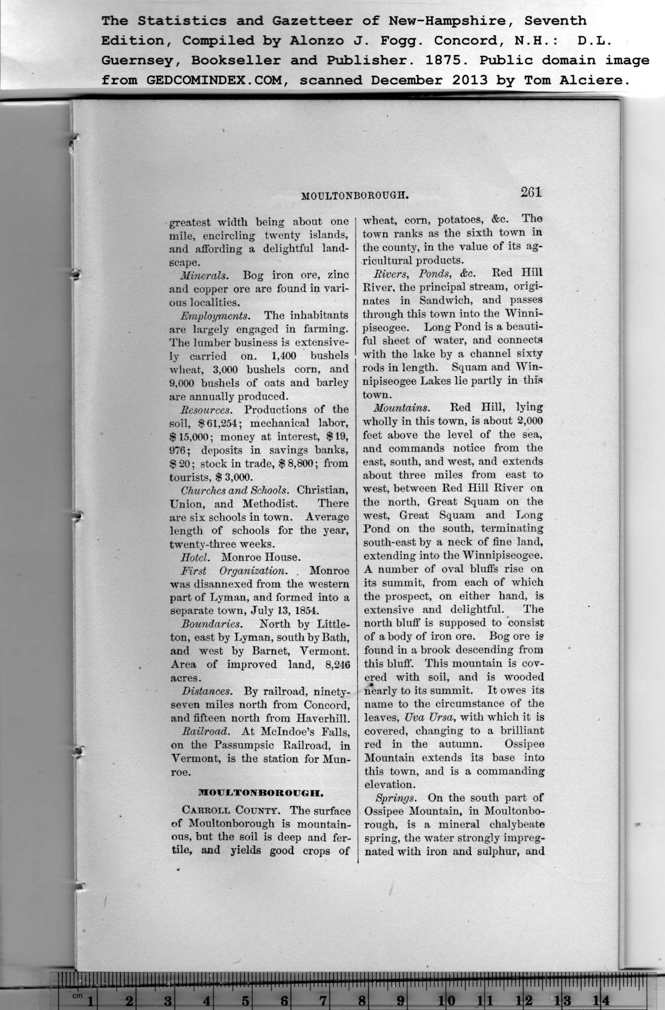
|
greatest w'idth being about one
mile, encircling twenty islands,
and affording a delightful land-
scape.
The Statistics and Gazetteer of New-Hampshire, Seventh
Edition, Compiled by Alonzo J. Fogg. Concord, N.H.: D.L.
Mi?ierals. Bog iron ore, zinc
and copper ore are found in vari-
ous localities.
Employments. The inhabitants
are largely engaged in farming.
The lumber business is extensive-
ly carried on. 1,400 bushels
wheat, 3,000 bushels corn, and
9,000 bushels of oats and barley
are annually produced.
Resources. Productions of the
soil, $61,254; mechanical labor,
$ 15,000; money at interest, $ 19,
976; deposits in savings banks,
$ 20; stock in trade, $ 8,800; from
tourists, $ 3,000.
Churches and Schools. Christian,
Union, and Methodist. There
are six schools in town. Average
length of schools for the year,
twenty-three weeks.
Hotel. Monroe House.
First Organization. . Monroe
was disannexed from the western
part of Lyman, and formed into a
separate town, July 13, 1854.
Boundaries. North by Little-
ton, east by Lyman, south by Bath,
and west by Barnet, Vermont.
Area of improved land, 8,246
acres.
Distances. By railroad, ninety-
seven miles north from Concord,
and fifteen north from Haverhill.
Railroad. At Mclndoe’s Falls,
on the Passumpsic Railroad, in
Vermont, is the station for Mun-
l'oe.
MOULTONBOROIJGH.
Carroll County. The surface
of Moultonborough is mountain-
ous, but the soil is deep and fer-
tile, and yields good crops of |
261
wheat, corn, potatoes, &c. The
town ranks as the sixth town in
the county, in the value of its ag-
ricultural products.
Rivers, Ponds, &e. Red Hill
River, the principal stream, origi-
nates in Sandwich, and passes
through this town into the Winni-
piseogee. Long Pond is a beauti-
ful sheet of water, and connects
with the lake by a channel sixty
rods in length. Squam and Win-
nipiseogee Lakes lie partly in this
town.
Mountains. Red Hill, lying
wholly in this town, is about 2,000
feet above the level of the sea,
and commands notice from the
east, south, and west, and extends
about three miles from east to
west, between Red Hill River on
the north, Great Squam on the
west, Great Squam and Long
Pond on the south, terminating
south-east by a neck of fine land,
extending into the Winnipiseogee.
A number of oval bluffs rise on
its summit, from each of which
the prospect, on either hand, is
extensive and delightful. The
north bluff is supposed to consist
of a body of iron ore. Bog ore is
found in a brook descending from
this bluff. This mountain is cov-
ered with soil, and is wooded
nearly to its summit. It owes its
name to the circumstance of the
leaves, JJva Ursa, with which it is
covered, changing to a brilliant
red in the autumn. Ossipee
Mountain extends its base into
this town, and is a commanding
elevation.
Springs. On the south part of
Ossipee Mountain, in Moultonbo-
rough, is a mineral chalybeate
spring, the water strongly impreg-
nated with iron and sulphur, and |
