|
Employments. Agriculture is the
principal employment of the peo-
ple, although manufacturing is car-
ried on to a considerable extent.
150 tons potato starch are annually
made, 6,000 yards of full cloth,
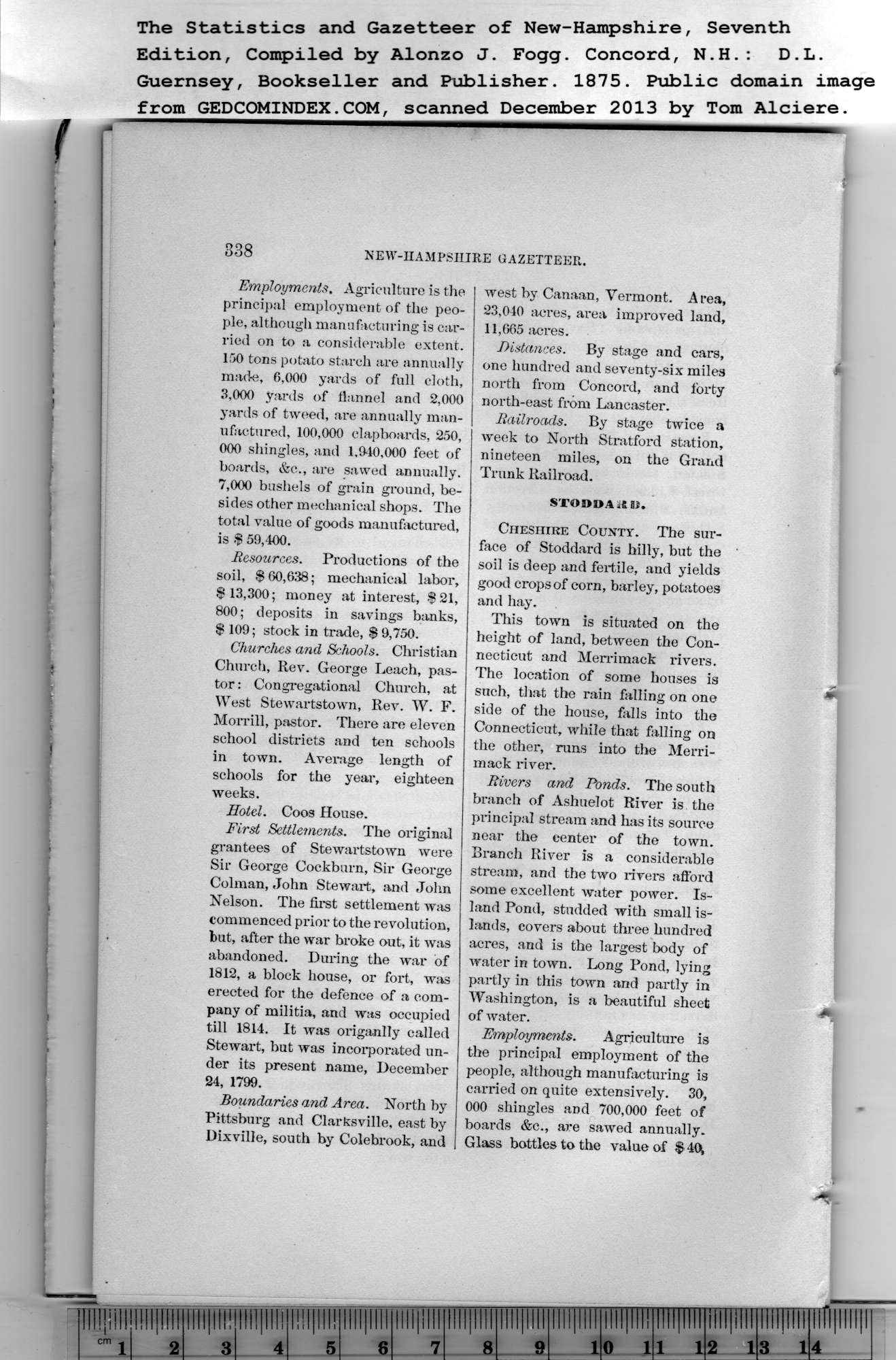
The Statistics and Gazetteer of New-Hampshire, Seventh
Edition, Compiled by Alonzo J. Fogg. Concord, N.H. : D.L.
338 NEW-HAMPSHIRE GAZETTEER.
3.000 yards of flannel and 2,000
yards of tweed, are annually man-
ufactured, 100,000 clapboards, 250,
000 shingles, and 1.940,000 feet of
boards, &c., are sawed annually.
7.000 bushels of grain ground, be-
sides other mechanical shops. The
total value of goods manufactured,
is $ 59,400.
Resources. Productions of the
soil, $ 60,638; mechanical labor,
$ 13,300; money at interest, $21,
800; deposits in savings banks,
$ 109; stock in trade, $ 9,750.
Churches and Schools. Christian
Church, Rev. George Leach, pas-
tor : Congregational Church, at
West Stewartstown, Rev. W. F.
Morrill, pastor. There are eleven
school districts and ten schools
in town. Average length of
schools for the year, eighteen
weeks.
Hotel. Coos House.
First Settlements. The original
grantees of Stewartstown were
Sir George Coekburn, Sir George
Colman, John Stewart, and John
Nelson. The first settlement was
commenced prior to the revolution,
but, after the war broke out, it was
abandoned. During the war of
1812, a block house, or fort, was
erected for the defence of a com-
pany of militia, and was occupied
till 1814. It was origanlly called
Stewart, but was incorporated un-
der its present name, December
24, 1799.
Boundaries and Area. North by
Pittsburg and Clarksville, east by
Dixville, south by Colebrook, and
west by Canaan, Vermont. Area,
23,040 acres, area improved land,
11,665 acres. |
Distances. By stage and cars,
one hundred and seventy-six miles
north from Concord, and forty
north-east from Lancaster.
Railroads. By stage twice a
week to North Stratford station,
nineteen miles, on the Grand
Trunk Railroad.
STOODA 46 Si.
Cheshire County. The sur-
face of Stoddard is hilly, but the
soil is deep and fertile, and yields
good crops of corn, barley, potatoes
and hay.
This town is situated on the
height of land, between the Con-
necticut and Merrimack rivers.
The location of some houses is
such, that the rain falling on one
side of the house, falls into the
Connecticut, while that falling on
the other, runs into the Merri-
mack river.
Rivers and Ponds. The south
branch of Ashuelot River is the
principal stream and has its source
near the center of the town.
Branch River is a considerable
stream, and the two rivers afford
some excellent water power. Is-
land Pond, studded with small is-
lands, covers about three hundred
acres, and is the largest body of
water in town. Long Pond, lying
partly in this town and partly in
Washington, is a beautiful sheet
of water.
Employments. Agriculture is
the principal employment of the
people, although manufacturing is
carried on quite extensively. 30,
000 shingles and 700,000 feet of
boards &c., are sawed annually.
Glass bottles to the value of $ 40^ |
