|
20 NEW YORK STATE GAZETTEER.
the two southerly tiers of counties is entirely occupied by these hills. Along the Penn, line they
are usually abrupt and are separated by narrow ravines, but toward the n. their summits become
broader and less broken. A considerable portion of the highland region is too steep for profitable
cultivation and is best adapted to grazing. The highest summits in Allegany and Cattaraugus
cos. are 2,000 to 3,000 feet above tide.
From the summits of the watershed the highlands usually descend toward Lake Ontario in
series of terraces, the edges of which are the outcrops of the different rocks which underlie the
surface. These terraces are usually smooth, and, although inclined toward the x., the inclination
is generally so slight that they appear to be level. Between the hills of the s. and the level land
of the n. is a beautiful rolling region, the ridges gradually declining toward the x. In that part
of the State s. of the most eastern mountain range the surface is generally level or broken by low
hills. In New York and Westchester cos. these hills are principally composed of primitive rocks.
The surface of Long Island is generally level or gently undulating. A ridge 150 to 200 feet high,
composed of sand, gravel, and clay, extends e. and w. across the island n. of the center.
Stivers and ILalies.—The river system of the State has two general divisions,-—the first
comprising the streams tributary to the great lakes and the St. Lawrence, and the second those
which flow in a general southerly direction. The watershed which separates these two systems
extends in an irregular line eastward from Lake Erie through the southern tier of counties to near
the n. e. corner of Chemung; thence it turns sr. e. to the Adirondack Mts. in Essex co., thence
s. e. to the e. extremity of Lake George, and thence nearly due e. to the e. line of the State.1
The northerly division has 5 general subdivisions. The -most -westerly of these comprises all
the streams flowing into Lake Erie and Niagara River and those flowing into Lake Ontario w. of
Genesee River. In Chautauqua co. the streams are short and rapid, as the watershed approaches
within a few mi. of Lake Erie. Cattaraugus, Buffalo, Tonawanda, and Oak Orchard Creeks are
the most important streams in this division. Buffalo Creek is chiefly noted for forming Buffalo
Harbor at its mouth; and the Tonawanda for 12 miles from its mouth is used for canal navi¬
gation. Oak Orchard and other creeks flowing into Lake Ontario descend from the interior in a
series of rapids, affording a large amount of water-power.
The second subdivision comprises the Genesee River and its tributaries. The Genesee rises
in the n. part of Penn, and flows in a generally northerly direction to Lake Ontario. Its upper
course is through a narrow valley bordered by ste-ep, rocky hills. Upon the line of Wyoming and
Livingston cos. it breaks through a mountain barrier in a deep gorge and forms the Portage Falls,
—one of the finest waterfalls in the State. Below this point the course of the river is through a
beautiful valley 1 to 2 mi. wide and bordered by banks 50 to 150 ft. high. At Rochester it flows
over the precipitous edges of the Niagara limestone, forming the Upper Genesee Falls; and 3 mi.
below it flows over the edge of the Medina sandstone, forming the Lower Genesee Falls. The
principal tributaries of this stream are Canaseraga, Honeoye, and Conesus Creeks from the e., and
Oatka and Black Creeks from the w. Honeoye, Canadice, Hemlock, and Conesus Lakes lie within
the Genesee Basin.
The third subdivision includes the Oswego River and its tributaries and the small streams flow¬
ing into Lake Ontario^ between Genesee and Oswego Rivers. The basin of the Oswego includes
most of the inland lakes which form a peculiar feature of the landscape in the interior -of the State.
The principal of these lakes are Cayuga, Seneca, Canandaigua, Skaneateles, Crooked, and Owasco,—■
all occupying long, narrow valleys, and extending from the level land in the center far into the
highland region of the s. The valleys which they occupy appear like immense ravines formed by
some tremendous force, which has torn the solid rocks from their original beds, from the general
level of the surrounding summits, down to the present bottoms of the lakes.2 Oneida and Onondaga
|
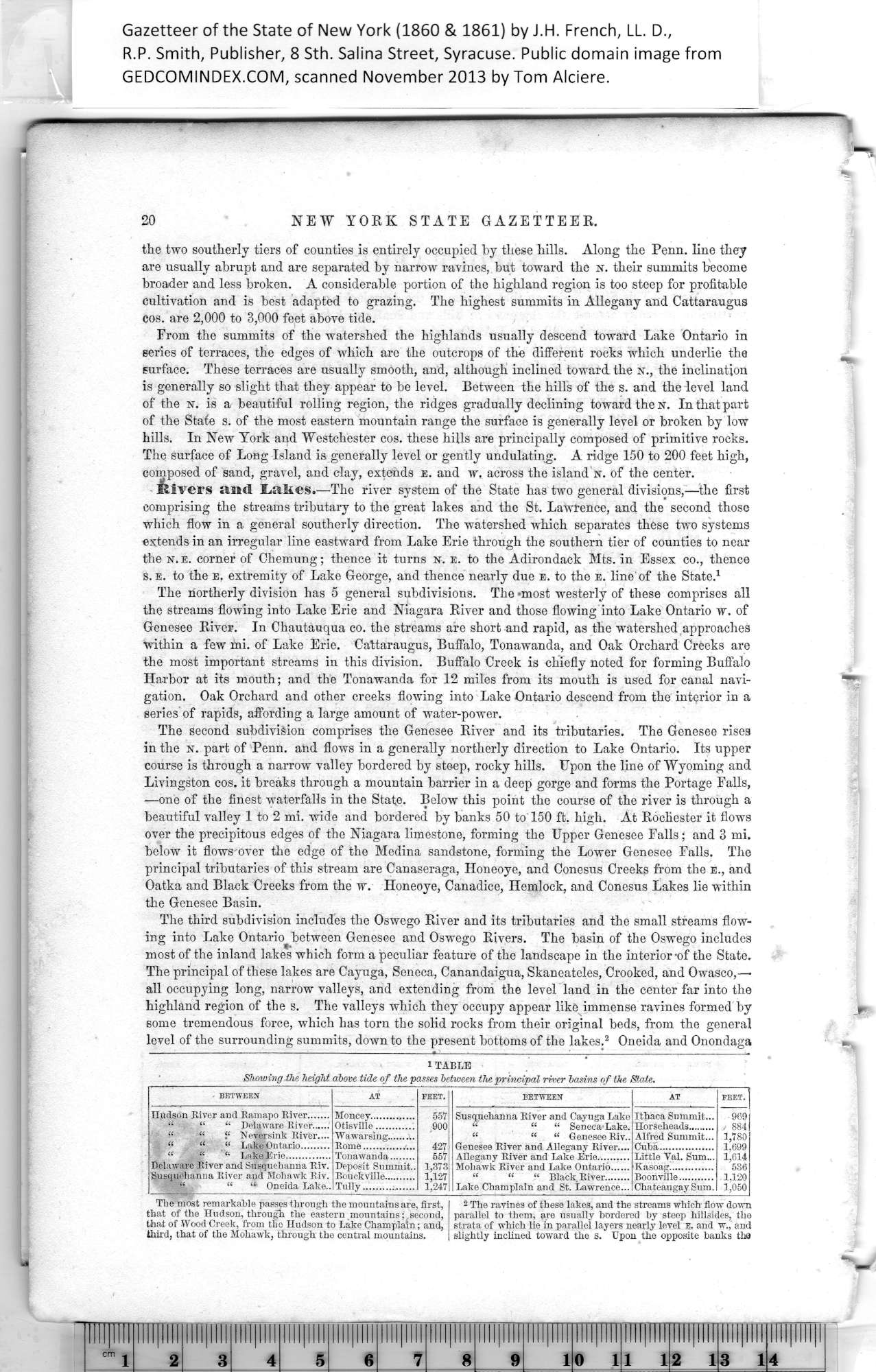
iTABLE
Shmving the height above tide of the passes between the principal river basins of the State. |
|
BETWEEN |
AT |
FEET. |
BETWEEN |
AT |
FEET. |
|
Hudson River and Ramapo River.......
“ “ “ Delaware River......
“ “ “ Neversink River....
“ “ “ Lake Ontario.........
“ “ “ Lake Erie..............
Delaware River and Susquehanna Riv.
Susquehanna River and Mohawk Riv.
“ “ “ Oneida Lake.. |
Moncey..............
Otisville............
Wawarsing.........
Rome................
Tonawanda........
Deposit Summit..
Bouckville..........
Tully................. |
557
,900
427
557
1,373
1,127
1.247 |
Susquehanna River and Cayuga Lake
“ “ “ Seneca Lake.
“ “ “ Genesee Riv..
Genesee River and Allegany River....
Allegany River and Lake Erie..........
Mohawk River and Lake Ontario......
“ “ “ Black River........
Lake Champlain and St. Lawrence... |
Ithaca Summit...
Horseheads.........
Alfred Summit...
Cuba.................
Little Val. Sum...
Kasoag..............
Boonville...........
Chateaugay Sum. |
969
. 884
1,780
1,699
1,614
536
1,120
1,050 |
|
|
Tbe most remarkable passes through the mountains are, first, I 2 The ravines of these lakes, and the streams which flow down
that of the Hudson, through the eastern mountains;,second, parallel to them, are usually bordered by steep hillsides, the
that of Wood Creek, from the Hudson to Lake Champlain; and, strata of which lie in parallel layers nearly level e. and w., and
third, that of the Mohawk, through the central mountains. | slightly inclined toward the s. Upon the opposite banks tha |
|
