|
CLINTON COUNTY.
This county was formed from Washington, March 7, 1788.1 Essex
was taken off in 1'799. St. Lawrence was provisionally annexed
in 1801, and taken off in 1802; a portion of Oneida was annexed
in 1801; and Franklin was taken off in 1808. It lies upon Lake
Champlain, and is the n. e. corner co. of the State. It is cen¬
trally distant 143 mi. from Albany, and contains 1,092 sq. mi.
The surface is generally hilly and broken, and in some parts
mountainous. The Au Sable Range enters the s. w. corner from
Essex co. and extends in spurs and broken ranges through more
than one-half of the w. part of the co. The highest peaks, along
the w. border, are 3,000 to 4,000 feet ahove tide. These moun¬
tains have the same general characteristics as those further s.
They are wild and broken, and their declivities and summits are so
covered with ragged ledges of rocks that they can produce hut a scanty crop of timber and are
almost inaccessible. The uplands decline toward the n. ; and along, the n. line of the co. is a wide
tract nearly level. Along the lake shore the surface is level or moderately uneven; and from this
tract it rises gradually hut unevenly to the summits of the ridges in the interior. A large share
of the central and w. portions of the co. is covered hy the original forests, and is too rough to ever
admit of profitable cultivation. The mountainous region in the s. w., comprising about one-third
of the co., is underlaid hy gneiss, granite, and other primary rocks. A belt of Potsdam sandstone
extends in a great curve around the primary region and occupies more than one-half of the re¬
maining part of the co. On the n. it extends nearly to Canada, hut toward the s. it gradually
diminishes, and on the s. line it is hut a few miles wide. Surrounding this, and lying next ahove it,
is a narrow belt of calciferous sand rock, outcropping on the surface, along the lake shore, between
Au Sable and Salmon Rivers. The limestones next appear, occupying the n. e. corner of the co.
and outcropping along the lake from Salmon River to Rouses Point. Tertiary clay is found in a
few places along the lake; and drift deposits are abundant in the n. and e. parts. Peat hogs are
numerous in the n. e. part. The primitive region is exceedingly rich in minerals. Magnetic iron
ore is found in inexhaustible quantities, and of a quality equal to the best in the world.2
Au Sable River forms most of the s. boundary. North of this are Little Sable, Salmon, Sara¬
nac, Little Chazy, and Grgat Chazy or Champlain Rivers, all flowing into Lake Champlain. English
River flows n. into Canada. Upon all these streams are numerous falls, furnishing an immense
amount of water-power. In the western wilderness are numerous small lakes, the principal of which,
are Chateaugay and. Chazy Lakes, and Sampson, Taylor, and Slush Ponds. The soil along the lake'
is clayey, and in the interior and w. a sandy loam, best adapted to pasturage.
The people are principally engaged in stock raising, dairying, lumbering,3 mining, and in tho
manufacture of iron3 and starch. A large business is carried on in peltries, the wilderness’ still
furnishing numerous valuable fur-bearing animals.4 Fish are abundant in the mountain
streams and lakes, although the salmon, once so abundant, have now nearly disappeared.6 * The
Northern (Ogdensburgh) R. R. extends w. from Rouses Point, on Lake Champlain, through Cham¬
plain, Mooers, Altona, Ellenburgh, and Clinton. The Plattsburgh & Montreal R. R. extends n.
through Plattsburgh, Beekmantown, Chazy, and Mooers.
The eo. seat is located at the village of Plattsburgh, on Lake Champlain.5 The courthouse is a
|
districts, and upon them are numerous sawmills. Immense
quantities of logs are annually floated down these streams and
worked up at the mills below. Several important plank roads
have been constructed in the wilderness for the special accom¬
modation of the lumber and iron business.
* The iron manufactured is principally in the form of blooms.
6 Hunting is pursued as a business to some extent; and during
the summer large numbers of amateur hunters from the cities
flock to the wilderness for recreation and amusement.
6 So abundant were salmon that 30 years ago 100 bbls. were
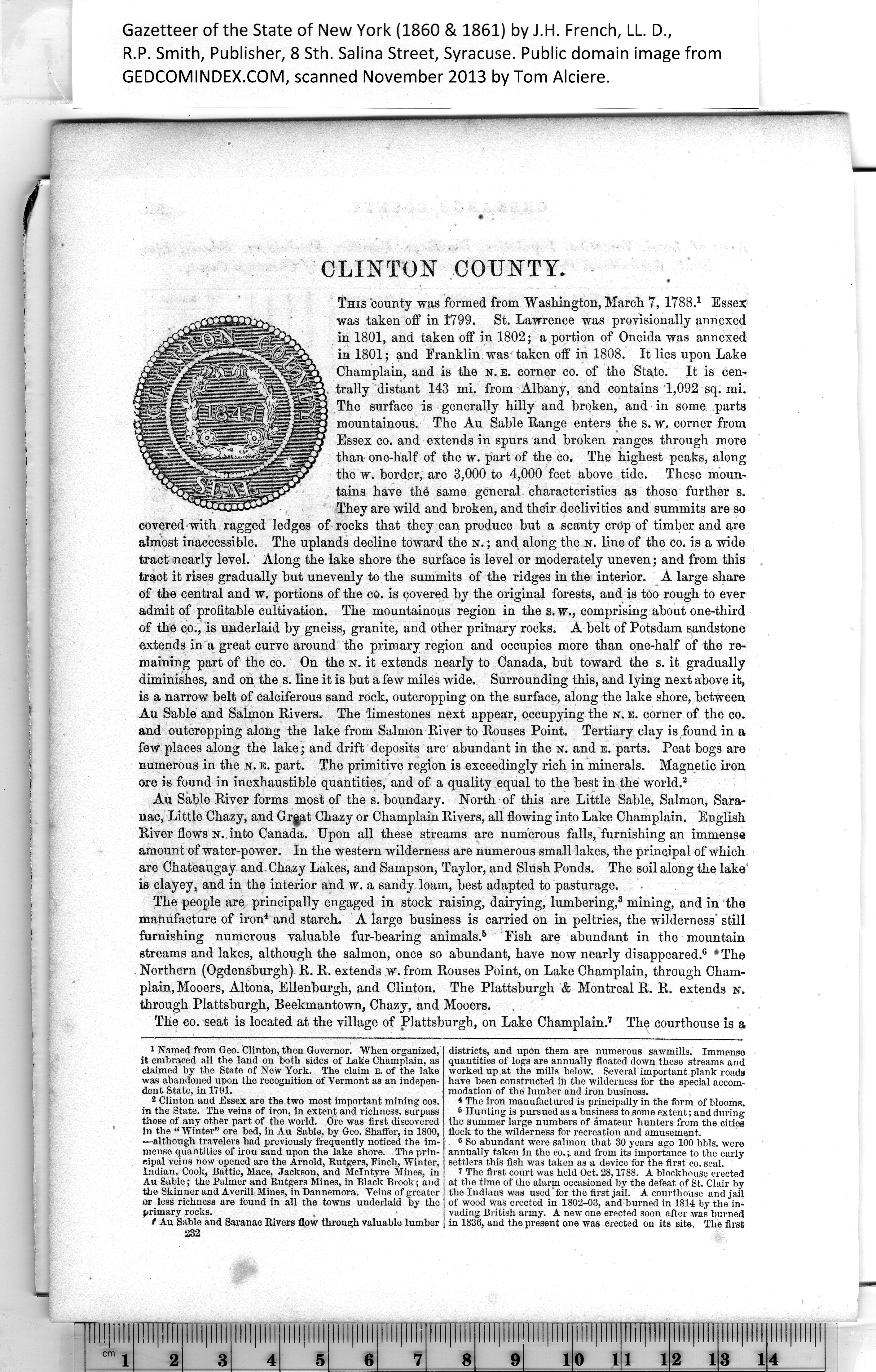
annually taken in the co.and from its importance to the early
settlers this fish was taken as a device for the first co. seal.
7 The first court was held Oct. 28,1788. A blockhouse erected
at the time of the alarm occasioned by the defeat of St. Clair by
the Indians was used "for the first jail. A courthouse and jail
of wood Was erected in 1802-03, and burned in 1814 by the in¬
vading British army. A new one erected soon after was burned
in 1836, and the present one was erected on its site. The first |
1
Named from Geo. Clinton, then Governor. When organized,
it embraced all the land on both sides of Lake Champlain, as
claimed by the State of New York. The claim E. of the lake
was abandoned upon the recognition of Vermont as an indepen¬
dent State, in 17 91.
2
Clinton and Essex are the two most important mining cos.
in the State. The veins of iron, in extent and richness, surpass
those of any other part of the world. Ore was first discovered
3
Indian, Cook, Battle, Mace, Jackson, and McIntyre Mines, in
4
Au Sable; the Palmer and Rutgers Mines, in Black Brook; and
the Skinner and Averill Mines, in Dannemora. Veins of greater
or less richness are found in all the towns underlaid by the
5
t Au Sable and Saranac Rivers flow through valuable lumber
|