|
SCHUYLER COUNTY.
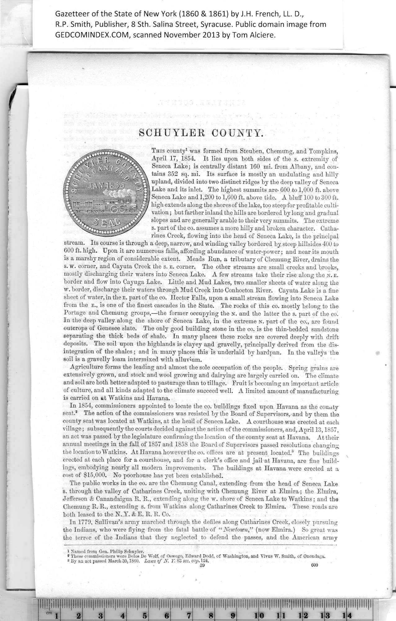
This county1 was formed from Steuben, Chemung, and Tompkins,
April 17, 1854. It lies upon both sides of the s. extremity of
Seneca Lake; is centrally distant 160 mi. from Albany, and con¬
tains 352 sq. mi. Its surface is mostly an undulating and hilly
upland, divided into two distinct ridges by the deep valley of Seneca
Lake and its inlet. The highest summits are- 600 to 1,000 ft. above
Seneca Lake and 1,200 to 1,600 ft. above tide. A bluff 100 to 300 ft.
high extends along the shores of the lake, too steep for profitable culti¬
vation ; but farther inland the hills are bordered by long and gradual
slopes and are generally arable to their very summits. The extreme
s. part of the co. assumes a more hilly and broken character. Catha¬
rines Creek, flowing into the head of Seneca Lake, is the principal
stream. Its course is through a deep, narrow, and winding valley bordered by steep hillsides 400 to
600 ft. high. Upon it are numerous falls, affording abundance of water-power; and near its mouth
is a marshy region of considerable extent. Meads Kun, a tributary of Chemung River, drains the
s. w. corner, and Cayuta Creek the s. e. corner. The other streams are small creeks and brooks,
mostly discharging their waters into Seneca Lake. A few streams take their rise along the n. e.
border and flow into Cayuga Lake. Little and Mud Lakes, two smaller sheets of water along the
w. border, discharge their waters through Mud Creek into Conhocton River. Cayuta Lake is a fine
sheet of water, in the e. part of the co. Hector Falls, upon a small stream flowing into Seneca Lake
from the e., is one of the finest cascades in the State. The rocks of this co. mostly belong to the
Portage and Chemung groups,—the former occupying the n. and the latter the s. part of the col
In the deep valley along the shore of Seneca Lake, in the extreme x. part of the co., are found
outcrops of Genesee slate. The only good building stone in the co. is the thin-bedded sandstone
separating the thick beds of shale. In many places these rocks are covered deeply with drift
deposits. The soil upon the highlands is clayey and gravelly, principally derived from the dis¬
integration of the shales; and in many places this is underlaid by hardpan. In the valleys the
soil is a gravelly loam intermixed with alluvium.
Agriculture forms the leading and almost the sole occupation of the people. Spring grains are
extensively grown, and stock and wool growing and dairying are largely carried on. The climate
and soil are both better adapted to pasturage than to tillage. Fruit is becoming an important article
of culture, and all kinds adapted to the climate succeed well. A limited amount of manufacturing
is carried on at Watkins and Havana.
In 1854, commissioners appointed to locate the co. buildings fixed upon Havana as the county
seat.2 The action of the commissioners was resisted by the Board of Supervisors, and by them the
county seat was located at Watkins, at the head of Seneca Lake. A courthouse was erected at each
village; subsequently the courts decided against the action of the commissioners, and, April 13,1857,
an act was passed by the legislature confirming the location of the county seat at Havana. At their
annual meetings in the fall of 1857 and 1858 the Board of Supervisors passed resolutions changing
the location to Watkins. At Havana however the co. offices are at present located.3 The buildings
erected at each place for a courthouse, and for a clerk’s office and jail at Havana, are fine build¬
ings, embodying nearly all modern improvements. The buildings at Havana were erected at a
cost of $15,000. No poorhouse has yet been established.
The public works in the co. are the Chemung Canal, extending from the head of Seneca Lake
s. through the valley of Catharines Creek, uniting with Chemung River at Elmira; the Elmira,
Jefferson & Canandaigua R. R., extending along the w. shore of Seneca Lake to Watkins; and the
Chemung R. R., extending s. from Watkins along Catharines Creek to Elmira. These roads are
both leased to the N. Y. & E. R. R. Co. t
In 1779, Sullivan’s army marched through the defiles along Catharines Creek, closely pursuing
the Indians, who were flying from the fatal battle of “ Newtown,” (now Elmira.) So great was
the terror of the Indians that they neglected to defend the passes, and the American army
1 Named from Gen. Philip Schuyler.
* These commissioners were Delos De Wolf, of Oswego, Edward Dodd, of Washington, and Virus W. Smith, of Onondaga.
® By an act passed March 30,1880. Laws of N. T. 83 sec. cap. 124. ^
|
