Gazetteer of the State of Maine, 1882 page 290
Click on the image to view a larger, bitmap (.bmp) image suitable for printing.

HOME PAGE ... REFERENCE PAGE ... THIS GAZETTEER’S PAGE


Click on the image above for a larger, bitmap image suitable for printing.


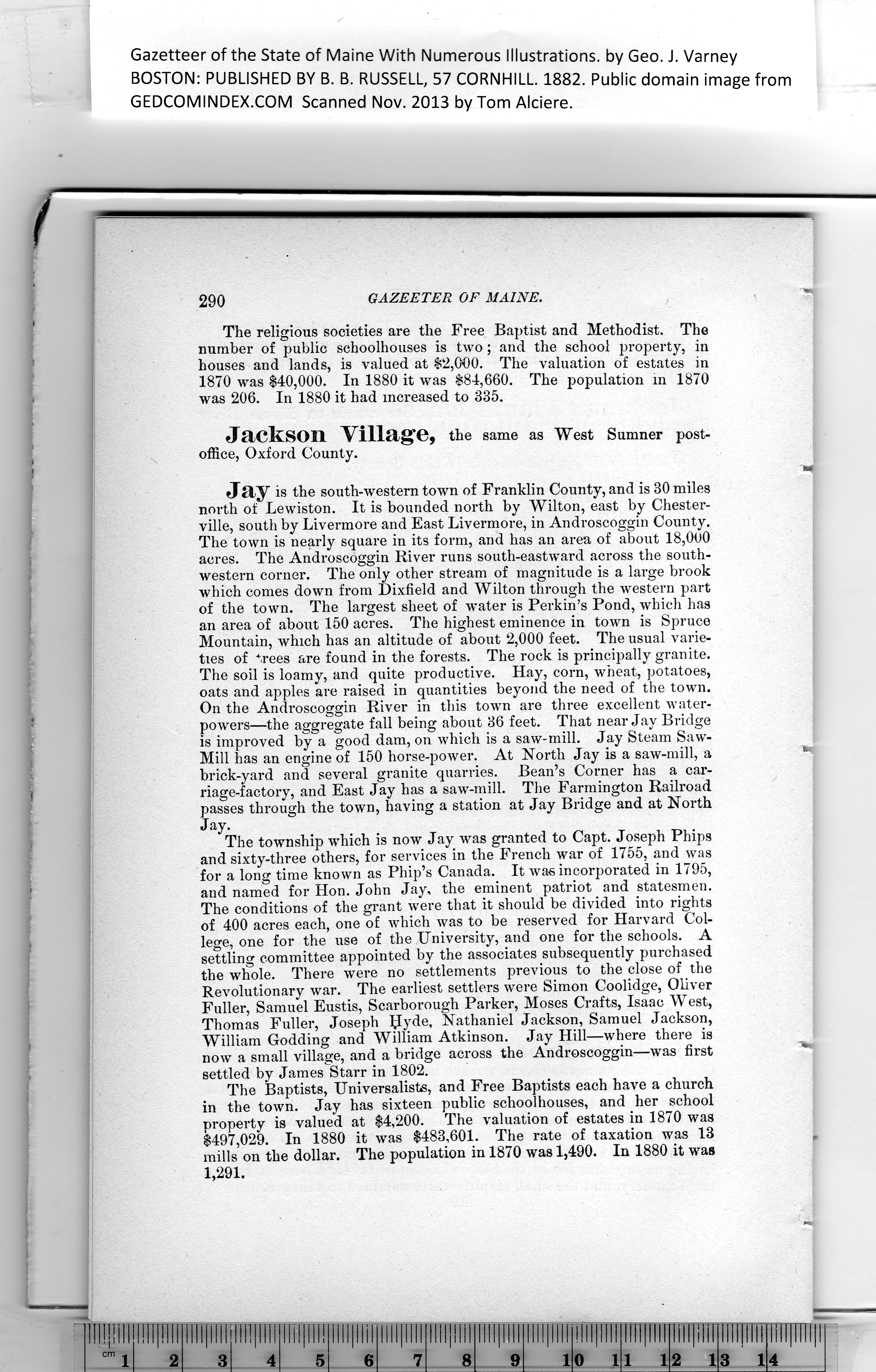
Gazetteer of the State of Maine With Numerous Illustrations, by Geo. J. Varney

BOSTON: PUBLISHED BY B. B. RUSSELL, 57 CORNHILL. 1882. Public domain image from

290    GAZEETER OF MAINE.    •

The religious societies are the Free Baptist and Methodist. The
number of public schoolhouses is two ; and the school property, in
houses and lands, is valued at $2,000. The valuation of estates in
1870 was $40,000. In 1880 it was $84,660. The population m 1870
was 206. In 1880 it had increased to 335.

Jackson Village, the same as West Sumner post-
office, Oxford County.

'm

Jay is the south-western town of Franklin County, and is 30 miles
north of Lewiston. It is bounded north by Wilton, east by Chester-
ville, south by Livermore and East Livermore, in Androscoggin County.

The town is nearly square in its form, and has an area of about 18,000
acres. The Androscoggin River runs south-eastward across the south-
western corner. The only other stream of magnitude is a large brook
which comes down from Dixfield and Wilton through the western part
of the town. The largest sheet of water is Perkin’s Pond, which has
an area of about 150 acres. The highest eminence in town is Spruce
Mountain, which has an altitude of about 2,000 feet. The usual varie-
ties of trees are found in the forests. The rock is principally granite.

The soil is loamy, and quite productive. Hay, corn, wheat, potatoes,
oats and apples are raised in quantities beyond the need of the town.

On the Androscoggin River in this town are three excellent water-

powers—the aggregate fall being about 36 feet. That near Jay Bridge

is improved by a good dam, on which is a saw-mill. Jay Steam Saw-

Mill has an engine of 150 horse-power. At North Jay is a saw-mill, a    ^

brick-yard and several granite quarries. Bean’s Corner has a car-

riage-factory, and East Jay has a saw-mill. The Farmington Railroad

passes through the town, having a station at Jay Bridge and at North

Jay.

The township which is now Jay was granted to Capt. Joseph Phips
and sixty-three others, for services in the French war of 1755, and was
for a long time known as Phip’s Canada. It was incorporated in 1795,
and named for Hon. John Jay, the eminent patriot and statesmen.

The conditions of the grant were that it should be divided into rights
of 400 acres each, one of which was to be reserved for Harvard Col-
lege, one for the use of the University, and one for the schools. A
settling committee appointed by the associates subsequently purchased
the wlmle. There were no settlements previous to the close of the
Revolutionary war. The earliest settlers were Simon Coolidge, Oliver
Fuller, Samuel Eustis, Scarborough Parker, Moses Crafts, Isaac West,

Thomas Fuller, Joseph IJyde, Nathaniel Jackson, Samuel Jackson,

William Godding and William Atkinson. Jay Hill—where there is    ___

now a small village, and a bridge across the Androscoggin—was first
settled by James Starr in 1802.

The Baptists, Universalists, and Free Baptists each have a church
in the town. Jay has sixteen public schoolhouses, and her school
property is valued at $4,200. The valuation of estates in 1870 was
$497,029. In 1880 it was $483,601. The rate of taxation
was 13
mills on the dollar. The population in 1870 was 1,490. In 1880 it was
1,291.


PREVIOUS PAGE ... NEXT PAGE

This page was written in HTML using a program written in Python 3.2