|
*
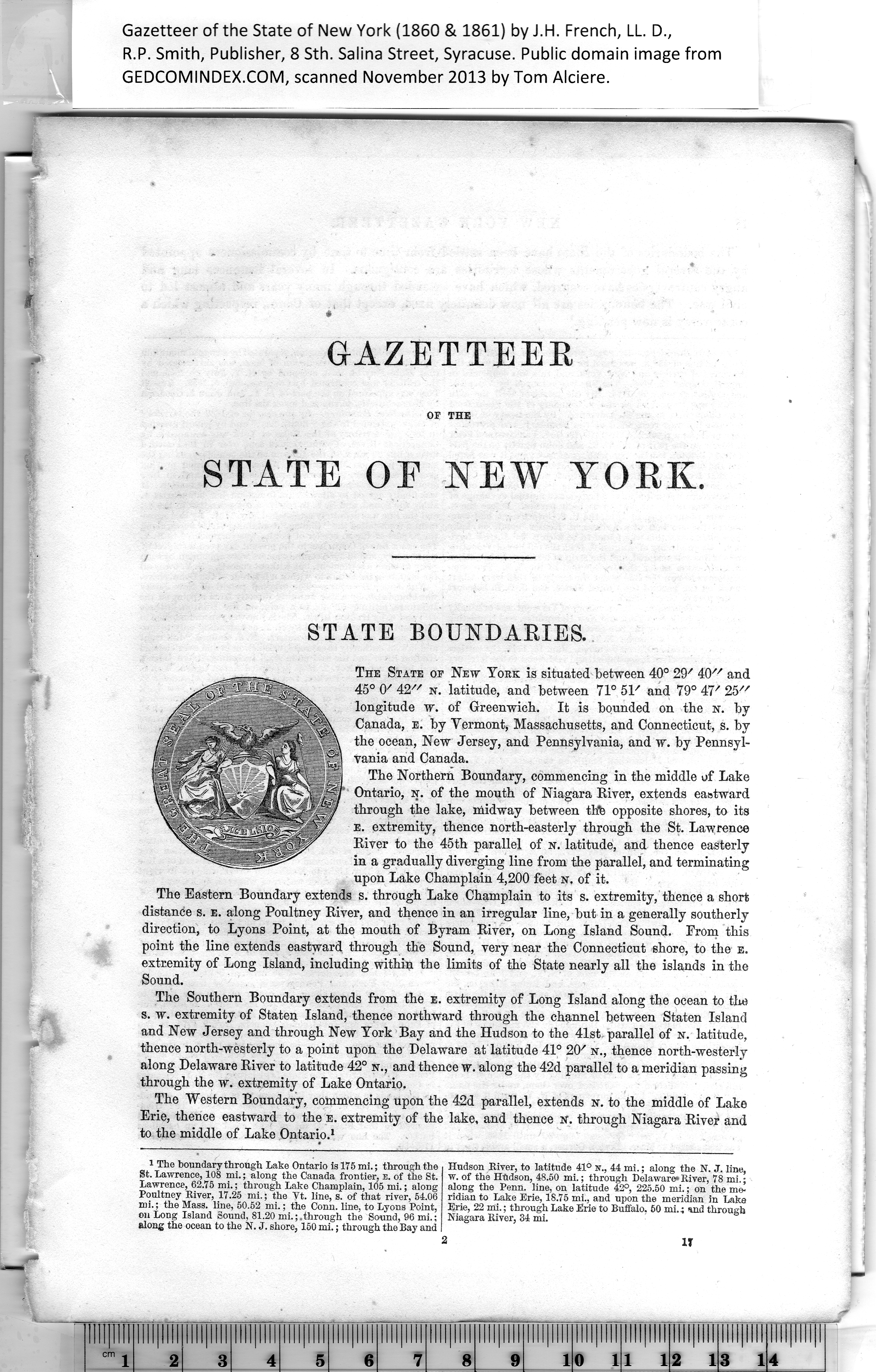
GiAZETTEEB
OF THE
state oe new yokk.
/
STATE BOUNDARIES.
The State op New York is situated between 40° 29/ 40" and
45° 0/ 4'2// n. latitude, and between 71° 51' and 79° 47' 25//
longitude w. of Greenwich. It is bounded on the n. by
Canada, e. by Vermont, Massachusetts, and Connecticut, s. by
the ocean, New Jersey, and Pennsylvania, and w. by Pennsyl¬
vania and Canada.
The Northern Boundary, commencing in the middle of Lake
Ontario, n. of the mouth of Niagara River, extends eastward
through the lake, midway between thb opposite shores, to its
e. extremity, thence north-easterly through the St. Lawrence
River to the 45th parallel of n. latitude, and thence easterly
in a gradually diverging line from the parallel, and terminating
upon Lake Champlain 4,200 feet n. of it.
The Eastern Boundary extends s. through Lake Champlain to its s. extremity, thence a short
distance s. e. along Poultney River, and thence in an irregular line, but in a generally southerly
direction, to Lyons Point, at the mouth of Byram River, on Long Island Sound. From this
point the line extends eastward through the Sound, very near the Connecticut shore, to the e.
extremity of Long Island, including within the limits of the State nearly all the islands in the
Sound.
The Southern Boundary extends from the e. extremity of Long Island along the ocean to the
s. w. extremity of Staten Island, thence northward through the channel between Staten Island
and New Jersey and through New York Bay and the Hudson to the 41st- parallel of n. latitude,
thence north-westerly to a point upon the Delaware at latitude 41° 20/ n., thence north-westerly
along Delaware River to latitude 42° n., and thence w. along the 42d parallel to a meridian passing
through the w. extremity of Lake Ontario.
The "Western Boundary, commencing upon the 42d parallel, extends n. to the middle of Lake
Erie, thence eastward to the e. extremity of the lake, and thence it. through Niagara River and
to the middle of Lake Ontario.1
|
Hudson River, to latitude 41° n., 44 mi.; along the N. J. line,
w. of the Hudson, 48.50 mi.; through Delaware*River, 78 mi.;
along the Penn, line, on latitude 42°, 225.50 mi.; on the me¬
ridian to Lake Erie, 18.75 mi., and upon the meridian in Lake
Erie, 22 mi.; through Lake Erie to Buffalo. 50 mi.; and through
Niagara River, 34 mi.
! IT |
1
The boundary through take Ontario is 175 mi.; through the
St. Lawrence, 108 mi.; along the Canada frontier, e. of the St.
Lawrence, 62.75 mi.; through Lake Champlain, 105 mi.; along
Poultney River, 17.25 mi.; the Vt. line, s. of that river, 54.06
mi.; the Mass. line, 50.52 mi.; the Conn. line, to Lyons Point,
on Long Island Sound, 81.20 mi.;.through the Sound, 96 mi.;
along the ocean to the N. J. shore, 150 mi.; through the Bay and
|