|
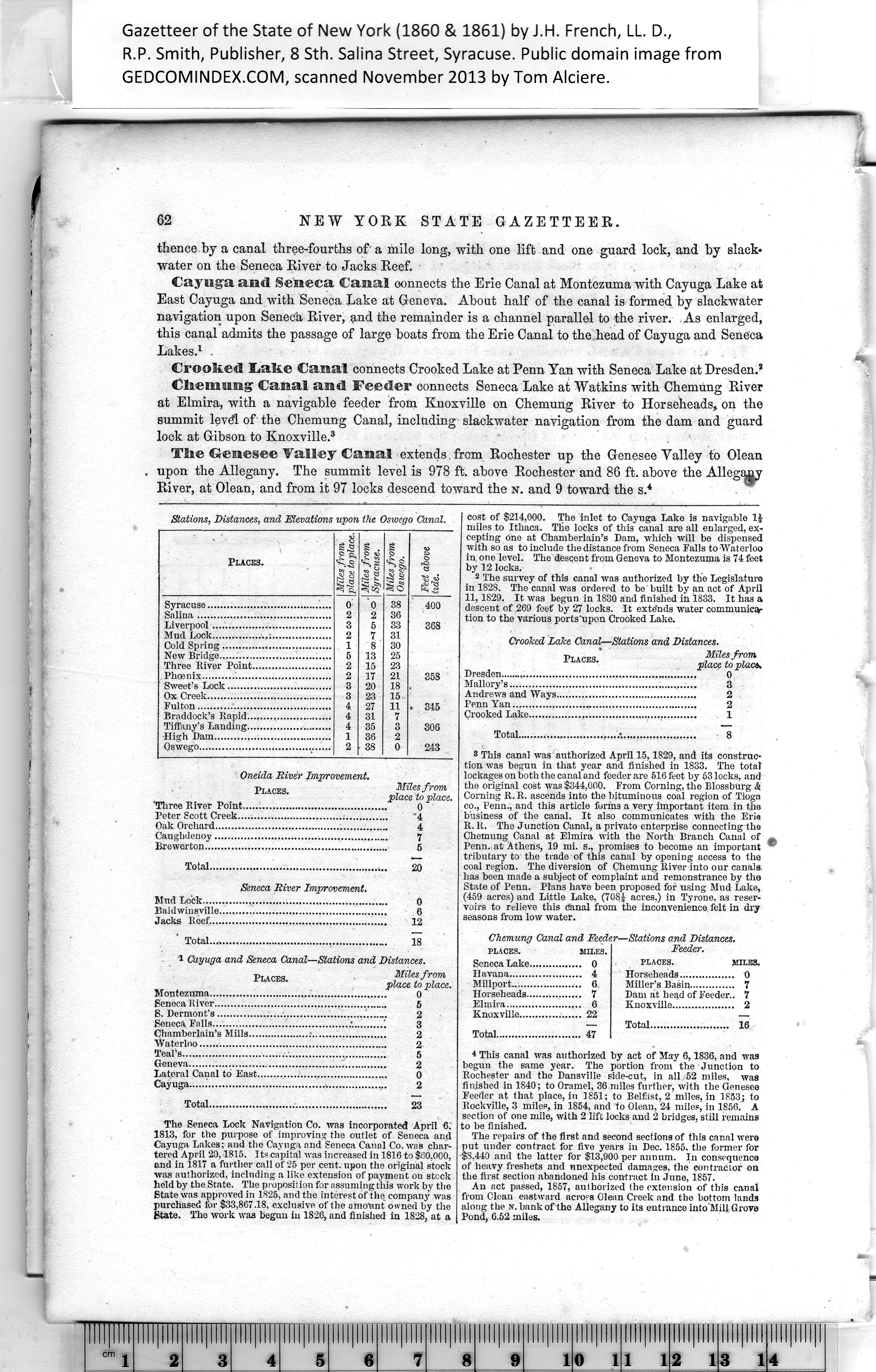
Stations, Distances, and Elevations upon tlie Oswego Canal. |
|
Places. |
it |
Miles from
Syracuse. |
I Miles from
1 Oswego. |
Feet above
tide. |
|
|
0 |
o |
38 |
400 |
|
|
2 |
2 |
36 |
|
|
3 |
5 |
33 |
368 |
|
|
2 |
7 |
31 |
|
|
|
1 |
8 |
30 |
|
|
|
|
13 |
95 |
|
|
|
2 |
15 |
93 |
|
|
|
2 |
IT |
21 |
358 |
|
|
3 |
20 |
18 |
|
|
|
3 |
23 |
15 |
|
|
|
4 |
27
31 |
11 |
. 345 |
|
|
4 |
7 |
|
|
4 |
35 |
3 |
306 |
|
|
1 |
38 |
9 |
|
|
2 |
38 |
0 |
243 |
|
|
|
|
Oneida River Improvement
Places.
Miles from
place to place.
0
'4
4
7
5
'Three River Point......................................
Peter Scott Creek................................;.......
Oak Orchard..............................................
Caughdenoy..............................................
Breworton.................................................
Total...................................................... 20
Seneca River Improvement.
Bind Lock........................................................ 0
Baldwinsville........... 6
Jacks Reef...................................................... 12
Total..................................... 18
1 Cayuga and Seneca Canal—Stations and Distances.
Places. Miles from
place to place.
Montezuma................................................. 0
Seneca R iver........................................ 5
S. Dermont’s............... .'._____ 2
Seneca Falls...................... :..........1 3
Chamberlain’s Mills...................;................... 2
Waterloo......................................................... 2
Teal’s.............................. 5
Geneva............................................................ 2
Lateral Canal to Bast........................................ 0
Cayuga ................................... 2
Total.......................... 23
The Seneca Lock Navigation Co. was incorporated April 6.
1813, for the purpose of improving the outlet of Seneca and
Cayuga. Lakes; and the Cayuga and Seneca Canal Co. was char¬
tered April 20,1815. Its capital was increased in 1816 to $60,000,
and in 1817 a further call of 25 per cent, upon the original stock
was authorized, including a like extension of payment on stock
held by the State. The proposition for assuming this work by the
State was approved in 1825, and the interest of the company was
purchased for $33,867.18, exclusive of the amount owned by the
State. The work was begun in 1826, and finished in 1828, at a
cost of $214,000. The inlet to Cayuga Lake is navigable 11-
miles to Ithaca. Tlie locks of this canal are all enlarged, ex¬
cepting one at Chamberlain’s Dam, which will be dispensed
with so as to include the distance from Seneca Falls to Waterloo
in, one level. The descent from Geneva to Montezuma is 74 feet
by 12 locks. |
2 The survey of this canal was authorized by tbe Legislature
in 1828. The canal was ordered to be built by an act of April
11,1829. It was begun in 1830 and finished in 1833. It has a
descent of 269 feet’ by 27 locks. It extends water communica¬
tion to the various ports'upon Crooked Lake.
Crooked Lake Canal—Stations and Distances.
Places.’ Mlesfrom
place to place*
Dresden ..................................................... 0
Mallory’s......................................................... 3
Andrews and Ways........................................... 2
Penn Yan........................................................ 2
Crooked Lake................................................... 1
Total........................................... 8
3 This canal was authorized April 15,1829, and its construc¬
tion was begun in that year and finished in 1833. The total
lockages on both the canal and feeder are 516 feet by 53 locks, and
the original cost was $344,000. From Corning, the Blossburg <S
Corning R.R. ascends into the bituminous coal region of Tioga
co., Penn., and this article forms a very important item in the
business of the canal. It also communicates with the Erie
R. R. The Junction Canal, a private enterprise connecting the
Chemung Canal at Elmira with the North Branch Canal of
Penn, at Athens, 19 mi. s., promises to become an important
tributary to the trade of this canal by opening access to the
coal region. The diversion of Chemung River into our canals
has been made a subject of complaint and remonstrance by the
State of Penn. Plans have been proposed for using Mud Lake,
(459 acres) and Little Lake, (708J acres.) in Tyrone, as reser¬
voirs to relieve this canal from the inconvenience felt in dry
seasons from low water.
Chemung Canal and Feeder—Stations and Distances.
PLACES. MILES.
Feeder.
PLACES. MILES.
Horseheads................. O
Miller’s Basin.............. 7
Dam at head of Feeder.. 7
Knoxville................... 2
Total........................ 16
* This canal was authorized by act of May 6,1836, and was
begun the same year. The portion from the Junction to
Rochester and the Dansville side-cut, in all 52 miles, was
finished in 1840; to Oramel, 36 miles further, with the Genesee
Feeder at that place, in 1851; to Belfast, 2 miles, in 1853; to
Rockville, 3 miles, in 1854, and to Olean, 24 miles, in 1856. A
section of one mile, with 2 lift locks and 2 bridges, still remains
to be finished.
The repairs of the first and second secfions of this canal were
put under contract for five years in Dec. 1855, the former for
$8,440 and the latter for $13,900 per annum. In consequence
of heavy freshets and unexpected damages, the contractor on
the first section abandoned his contract in June, 1857.
An act passed, 1857, aulhorized (he extension of this canal
from Olean eastward across Olean Creek and the bottom lands
along the n. bank of the Allegany to its entrance into'Mill Grove
Pond, 6.52 miles. |