|
OSWEGO COUNTY. 523
leaving but 1 male adult inhabitant in the settlement.1 There are 10 religious societies and 9
church edifices in town.2
MEW HAVEM—was formed from Mexico, April 2, 1813. A part was annexed to Mexico
May 9, 1836. It lies upon the shore of Lake Ontario, w. of the center of the co. The surface is
rolling and generally smooth. It is watered by Spring Brook, Catfish and Butterfly Creeks, 3 small
streams flowing into Lake Ontario. There is quite an extensive marsh near the mouth of Butterfly
Creek, in the n.e. part of the town, and another in the s.tv. part. The underlying rock is gray
sandstone, and the soil is principally a sandy and gravelly loam. Stock raising receives more atten
tion in this than in the other towns of the co., and a limited amount of manufacturing is done.3
Mew Haven, (p.v.,) situated near the center of the town, on Catfish Creek, contains 2 churches,
2 inns, a store, a sawmill, a gristmill, and about 50 houses. Butterfly is a p. o. near the e. line
of the town. The first settlement was made by Rood and Doolittle, at New Haven, in
1798.1 The first church (Cong.) was organized at New Haven Tillage, in 1817; and Rev. William
Williams was the first minister. There are now 2 churches in town; Cong, and M. E.
OltWELL—was formed from Richland, Eeb. 28,1817, and Boylston was taken off in 1828. A
part of Richland was annexed March 27, 1844. It is an interior town, lying n.e. of the center of
the co. The surface has a s. w. inclination, its e. border being elevated 300 to 500 feet above its w.
and 700 to 1,000 feet above Lake Ontario. It is moderately hilly, and is considerably broken in places
by the deep ravines of the streams. Upon Salmon River is a fall worthy of note. The stream flows
over a rocky bed in a series of rapids for 2 mi. and then falls over a precipice 110 feet perpendicular.
The banks of the stream below the fall are 200 feet high. The soil is generally a gravelly loam.
The e. half of the town is yet uncultivated. Lumber and other products of wood form the leading
articles manufactured; and considerable attention is given to stock raising and dairying.4 Or well
Comers, (Orwellp.o.,) in the w. part, contains 1 church, 3 stores, an inn, a sawmill, a gristmill,
a tannery, a steam cabinet factory, and about 40 houses. Molino is a hamlet in the s. part. The
first settlers were Nathaniel Bennett and his son Nathaniel, from Rensselaer co., N. Y., on Lots 82
and 83, and Capt. Noyes, on Lot 29, in 1806.5 There are 3 religious societies in town.6
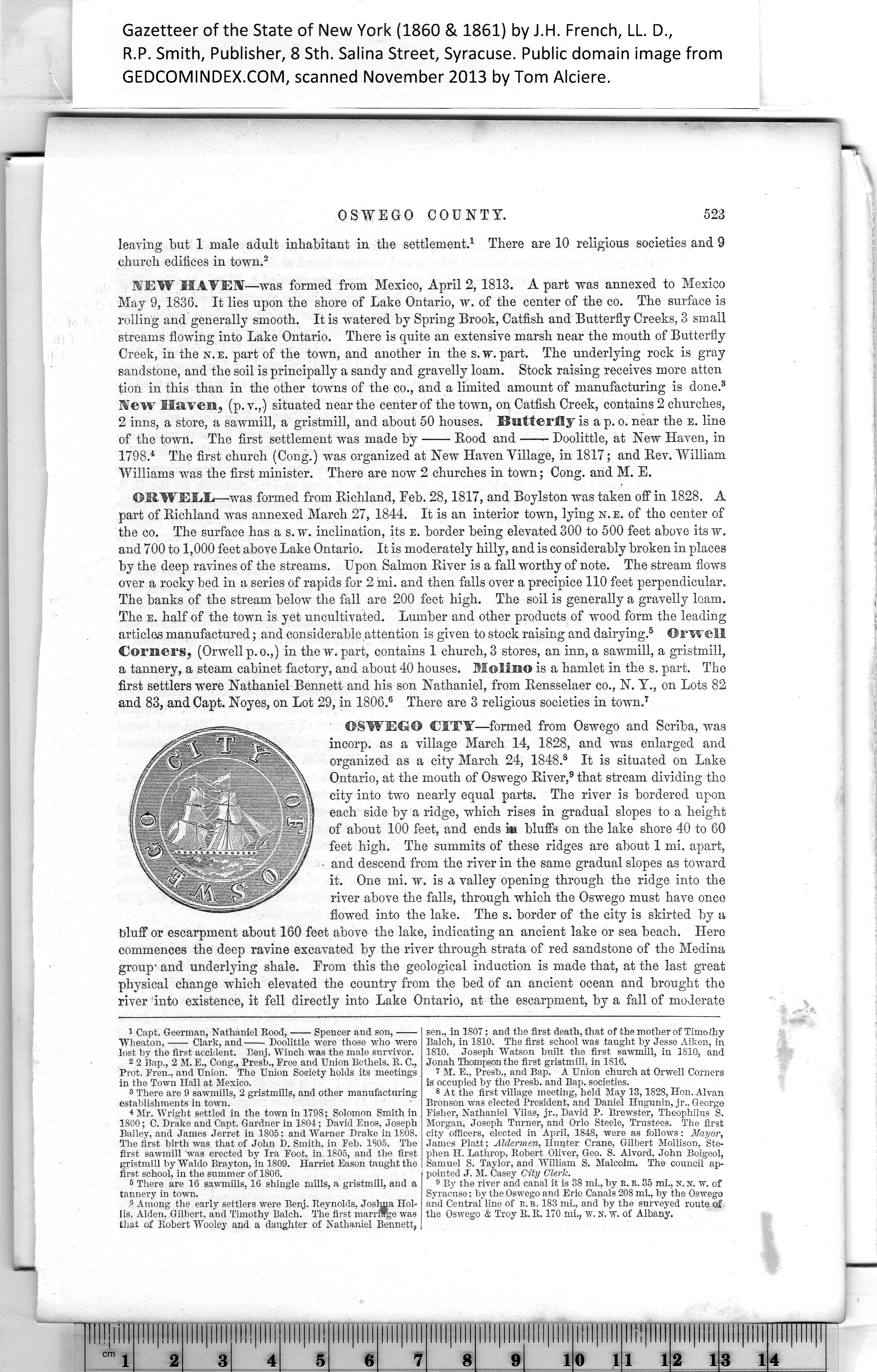
OSWEGO CITY—formed from Oswego and Scriba, was
incorp. as a village March 14, 1828, and was enlarged and
organized as a city March 24, 1848.7 It is situated on Lake
Ontario, at the mouth of Oswego River,8 that stream dividing tho
city into two nearly equal parts. The river is bordered upon
each side by a ridge, which rises in gradual slopes to a height
of about 100 feet, and ends i* bluffs on the lake shore 40 to 60
feet high. The summits of these ridges are about 1 mi. apart,
and descend from the river in the same gradual slopes as toward
it. One mi. w. is a valley opening through the ridge into the
river above the falls, through which the Oswego must have once
flowed into the lake. The s. border of the city is skirted by a
bluff or escarpment about 160 feet above the lake, indicating an ancient lake or sea beach. Here
commences the deep ravine excavated by the river through strata of red sandstone of the Medina
group1 and underlying shale. From this the geological induction is made that, at the last great
physical change which elevated the country from the bed of an ancient ocean and brought the
river into existence, it fell directly into Lake Ontario, at the escarpment, by a fall of moderate
|
sen., in 1807; and the first death, that of the mother of Timoihy
Balch, in 1810. The first school was taught hy Jesse Aiken, in
1810. Joseph Watson built the first sawmill, in 1810, and
Jonah Thompson the first gristmill, in 1816.
7 M. E., Presb., and Bap. A Union church at Orwell Corners
is occupied by tho Presb. and Bap. societies.
8 At the first village meeting, held May 13,1828, Hon. Alvan
Bronson was elected President, and Daniel Ilugunin, jr., George
Fisher, Nathaniel Vilas, jr., David P. Brewster, Theophihis S.
Morgan, Joseph Turner, and Orlo Steele, Trustees. The first
city officers, elected in April, 1848, were as follows: Mayor,
James Platt; Aldermen, Hnnter Crane, Gilbert Mollison, Ste¬
phen H. Lathrop, Robert Oliver, Geo. S. Alvord, John Boigeol,
Samuel S. Taylor, and William S. Malcolm. The council ap¬
pointed J. M. Casey City Cleric.
9 By the river and canal it is 38 mi., hy R. R. 35 mi., n. n. w. of
Syracuse; by the Oswego and Erie Canals 208 mi., hy the Oswego
and Central line of R. R. 183 mi., and hy the surveyed route of
the Oswego & Troy R. R. 170 mi., w. n. w. of Albany. |
1
Capt. Geerman, Nathaniel Rood, Spencer and son,-
Wheaton, Clark, and Doolittle were those who were
lost by the first accident. Benj. Winch was the male survivor.
2
2 Bap., 2 M. Cong., Presb., Eree and Union Bethels, R. C.,
Prot. Fren., and Union. The Union Society holds its meetings
in the Town Hall at Mexico.
3
8 There are 9 sawmills, 2 gristmills, and other manufacturing
establishments in town.
4
There are 16 sawmills, 16 shingle mills, a gristmill, and a
5
tannery in town.
6
P Among the early settlers were Benj. Reynolds, Joshua Hol¬
7
lis. Alden, Gilbert, and Timothy Balch. The first marrif^e was
8
that of Robert Wooley and a daughter of Nathaniel Bennett,
|