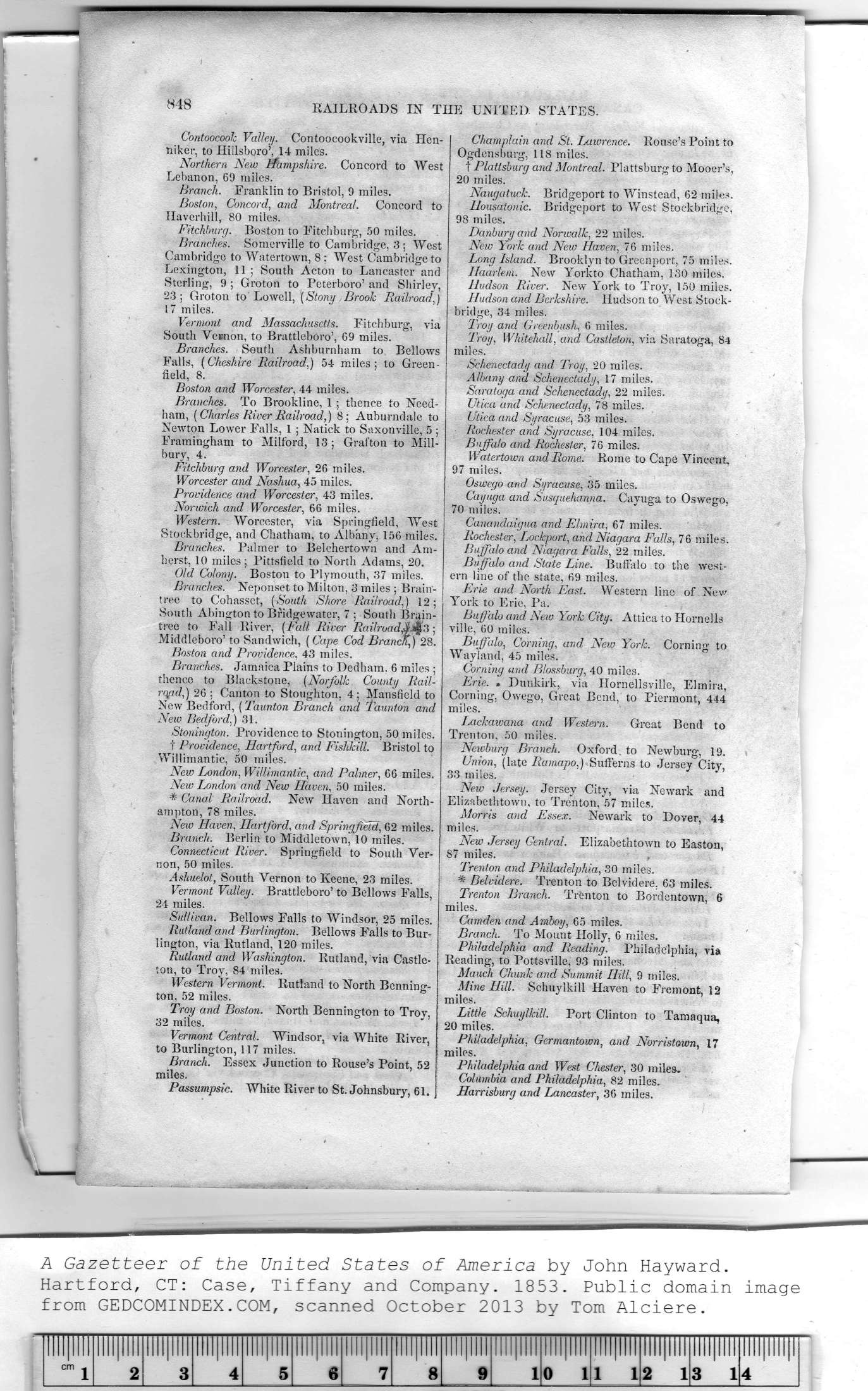
|
Contoocook Valley. Contoocookville, via Hen-
niker, to Hillsboro', 14 miles.
Northern New Hampshire. Concord to West
Lebanon, 69 miles.
Branch. Eranklin to Bristol, 9 miles.
Boston, Concord, and Montreal. Concord to
Haverhill, 80 miles.
Fitchburg. Boston to Fitchburg, 50 miles.
Branches. Somerville to Cambridge, 3 ; West
Cambridge to Watertown, 8: West Cambridge to
Lexington, 11 ; South Acton to Lancaster and
Sterling, 9 ; Groton to Peterboro' and Shirley,
23: Groton to Lowell, {Stony Brook Railroad,)
17 miles.
Vermont and Massachusetts. Fitchburg, via
South Vernon, to Brattleboro', 69 miles.
Branches. South Ashburnham to Bellows
Falls, (Cheshire Railroad,) 54 miles; to Green-
field, 8.
Boston and Worcester, 44 miles.
Branches. To Brookline, 1; thence to Need-
ham, (Charles River Railroad,) 8; Auburndale to
Newton Lower Falls, 1 ; Natick to Saxonville, 5 ;
Framingham to Milford, 13; Grafton to Mill-
bury, 4.
Fitchburg and Worcester, 26 miles.
Worcester and Nashua, 45 miles.
Providence and Worcester, 43 miles.
Norwich and Worcester, 66 miles.
Western. Worcester, via Springfield, West
Stoekbridge, and Chatham, to Albany, 156 miles.
Branches. Palmer to Belchertown and Am-
herst, 10 miles; Pittsfield to North Adams, 20.
Old Colony. Boston to Plymouth, 37 miles.
Branches. Neponset to Milton, 3 miles ; Brain-
tree to Cohasset, (South Shore Railroad,) 12;
South Abington to Bridgewater, 7 ; South Brain-
tree to Fall River, (Fall River Rail road ;
Middleboro' to Sandwich, (Cape Cod Branch,) 28.
Boston and Providence, 43 miles.
Branches. Jamaica Plains to Dedham. 6 miles ;
thence to Blackstone, (Norfolk County Rail-
rqad,) 26 ; Canton to Stoughton, 4 ; Mansfield to
New Bedford, (Taunton Branch and Taunton and
New Bedford,) 31.
Stonington. Providence to Stonington, 50 miles.
t Providence, Hartford, and Fishkill. Bristol to
Willimantic, 50 miies.
New London, Willimantic, and Palmer, 66 miles.
New London and New Haven, 50 miles.
* Canal Railroad. New Haven and North-
ampton, 78 miles.
New Haven, Hartford, and Springfield, 62 miles.
Branch. Berlin to Middletown, 10 miles.
Connecticut River. Springfield to South Ver-
non, 50 miles.
Ashuelot, South Vernon to Keene, 23 miles.
Vermont Valley. Brattleboro' to Bellows Falls,
24 miles.
Sullivan. Bellows Falls to Windsor, 25 miles.
Rutland and Burlington. Bellows Falls to Bur-
lington, via Rutland, 120 miles.
Rutland and Washington. Rutland, via Castle-
ton, to Troy, 84 miles.
Western Vermont. Rutland to North Benning-
ton, 52 miles.
Troy and Boston. North Bennington to Troy,
32 miles.
Vermont Central. Windsor, via White River,
to Burlington, 117 miles.
Branch. Essex Junction to Rouse's Point, 52
miles.
Passumpsic. White River to St. Johnsbury, 61. |
Champlain and St. Lawrence. Rouse's Point to
Ogdensburg, 118 miles.
t Plattsburg and Montreal. Plattsburg to Mooer's,
20 miles.
Naugatuck. Bridgeport to Winstead, 62 miles.
Housatonic. Bridgeport to West Stoekbridge,
98 miles.
Danbury and Norwalk, 22 miles.
New York and New Haven, 76 miles.
Long Island. Brooklyn to Greenport, 75 miles.
Haarlem. New Yorkto Chatham, 130 miles.
Hudson River. New York to Troy, 150 miles.
Hudson and Berkshire. Hudson to West Stock-
bridge, 34 miles.
Troy and Greenbush, 6 miles.
Troy, Whitehall, and Castleton, via Saratoga, 84
miles.
Schenectady and Troy, 20 miles.
Albany and Schenectady, 17 miles.
Saratoga and Schenectady, 22 miles.
Utica and Schenectady, 78 miles.
Utica and Syracuse, 53 miles.
Rochester and Syracuse, 104 miles.
Buffalo and Rochester, 76 miles.
Watertown and Rome. Rome to Cape Vincent.
97 miles.
Oswego and Syracuse, 35 miles.
Cayuga and Susquehanna. Cayuga to Oswego,
70 miles.
Canandaigua and Elmira, 67 miles.
Rochester, Lockport, and Niagara Falls, 76 miles.
Buffalo and Niagara Falls, 22 miles.
Buffalo and State Line. Buffalo to the west-
ern line of the state, 69 miles.
Erie and North East. Western line of New
York to Erie, Pa.
Buffalo and New York City. Attica to Hornells
ville, 60 miles.
Buffalo, Corning, and New York. Corning to
Wayland, 45 miles.
Corning and Blossburg, 40 miles.
Erie. . Dunkirk, via Hornellsville, Elmira,
Corning, Owego, Great Bend, to Piermont, 444
miles.
Lackawana and Western. Great Bend to
Trenton, 50 miles.
Newburg Branch. Oxford, to Newburg, 19.
Union, (late Ramapo,) Sufferns to Jersey City,
33 miles.
New Jersey. Jersey City, via Newark and
Elizabethtown, to Trenton, 57 miles.
Morris and Essex. Newark to Dover, 44
miles.
New Jersey Central. Elizabethtown to Easton,
87 miles.
Trenton and Philadelphia, 30 miles.
* Belvidere. Trenton to Belvidere, 63 miles.
Trenton Branch. Trenton to Bordentown, 6
miles.
Camden and Amboy, 65 miles.
Branch. To Mount Holly. 6 miles.
Philadelphia and Reading. Philadelphia, via
Reading, to Pottsville, 93 miles.
Mauch Chunk and Summit Hill, 9 miles.
Mine Hill. Schuylkill Haven to Fremont, 12
miles.
Little Schuylkill. Port Clinton to Tamaqua,
20 miles.
Philadelphia, Germantown, and Norristown, 17
miles.
Philadelphia and West Chester, 30 miles.
Columbia and Philadelphia, 82 miles.
Harrisburg and Lancaster, 36 miles. |
